National Weather Service United States Department of Commerce

Abernant Tornado - Tuscaloosa/Jefferson Counties
  2 Miles NE of East Brookwood - 2 Miles NW Weller
April 28, 2014


Event Summary

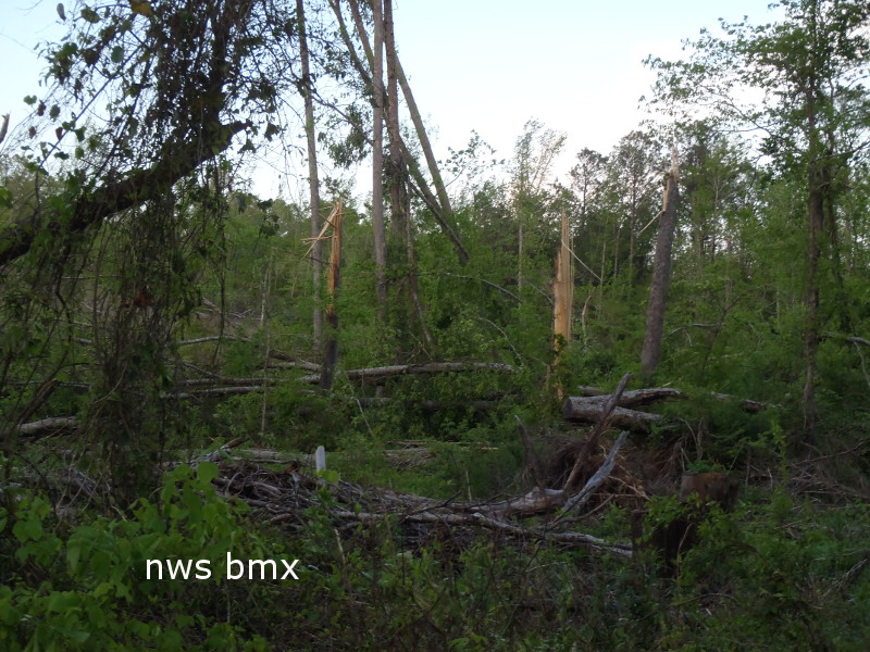
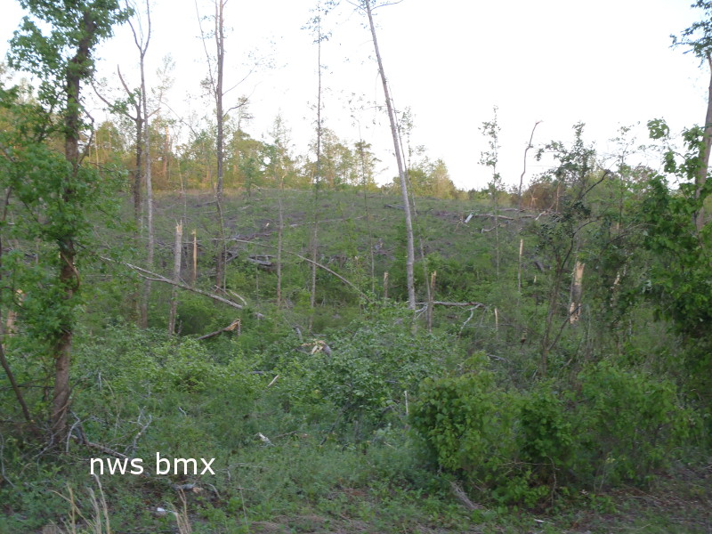
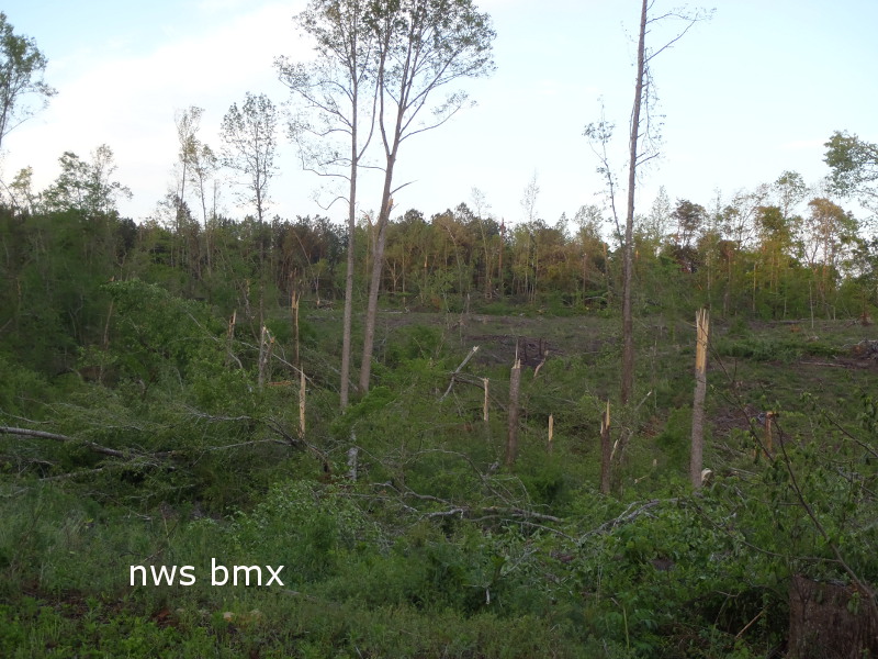
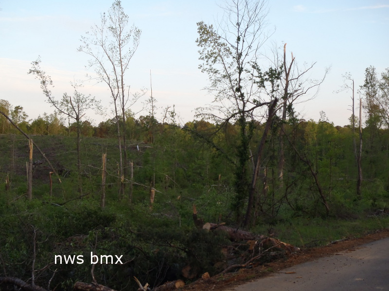
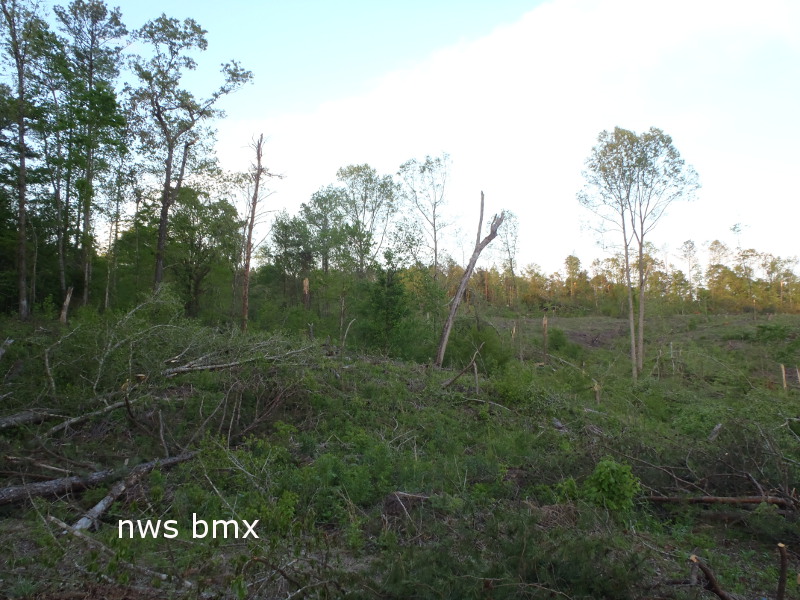
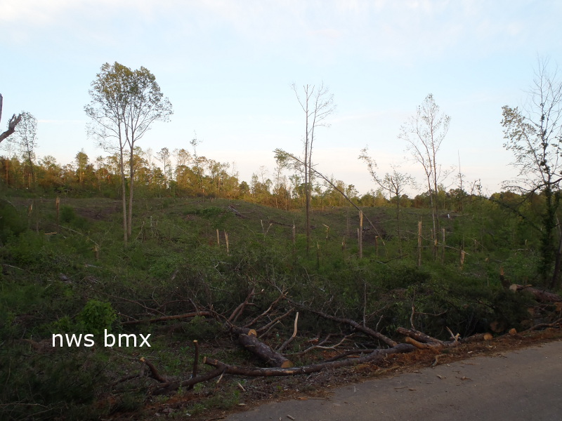
National Weather Service meteorologists surveyed damage in northern Tuscaloosa County and eastern Jefferson County and have determined that the damage is consistent with an EF-1 tornado.

The tornado touched down approximately two-tenths of a mile north of Milldale Road. It then traveled to the northeast where it snapped and uprooted trees. The tornado crossed Griffen Ridge Road, Ridge Road and then Weller Road where trees were uprooted along each road. The tornado crossed into Jefferson County approximately three-quarters of a mile north of Weller road and continued to produce minor tree damage. It lifted just inside the Jefferson County line, approximately one mile east of Sealy Ann Mountain Road.

EF-1
Estimated Maximum Wind:
105 mph
Injuries/Fatalities:
None
Damage Path Length:
4.4 miles
Maximum Path Width:
675 yards
Approximate Start Point/Time:
33.3129/-87.2197
at 1055 pm
Approximate End Point/Time:
33.3587/-87.1667
at 1104 pm

View Larger Map


4-Panel Radar Imagery at tornado touch down.
This storm also depicts a fell defined hook echo, quickly developing velocity couplet, and a TDS.
This storm was a cyclic supercell and also produced the tornado in North Johns.


Tree Damage

Tree Damage

Tree Damage

Tree Damage

Tree Damage

Tree Damage