|
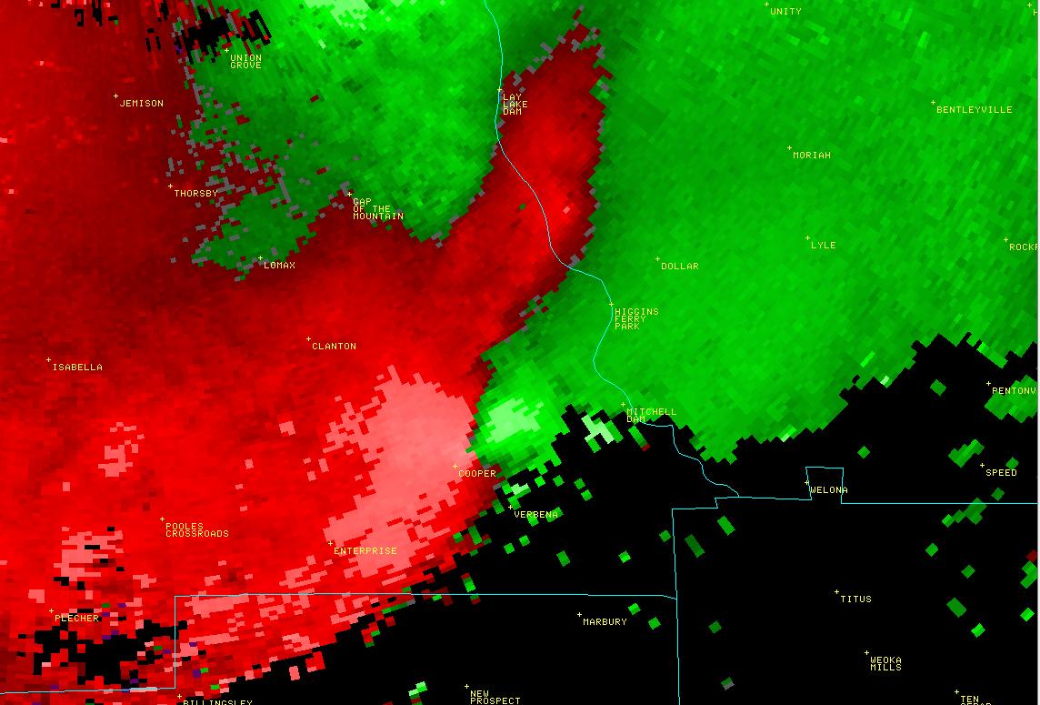
National Weather Service meteorologists surveyed damage across southeastern Chilton County near Verbena and determined it was caused by a brief EF-0 tornado. This tornado briefly touched down near the intersection of US Hwy 31 and CR 24, just northwest of Verbena and uprooted a few oak trees. The tornado moved northeast, and crossed CR 597 where it damaged a metal carport of one single family home and the roof of a mobile home. In addition, many trees were knocked down in a 50 yd wide path. The tornado quickly dissipated along CR 59, south of CR 24. Damage along this path was consistent with an EF-0 rating and winds of 80 mph.
A Tornado Warning was in effect for Chilton County from 903 pm until 1000 pm.
|