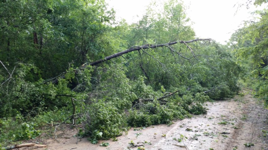
A debris signature from the Maxwell Doppler Radar (KMXX) prompted a storm survey in this very rural portion of Russell County. The majority of the debris signature was over inaccessible and waterlogged land. The tornado did snap and uproot numerous trees as it crossed Perry`s Well Road and in the surrounding forest. The path length is approximate due to lack of roads and inaccessibility and may be longer if the area could be surveyed at ground level.
Radar Data
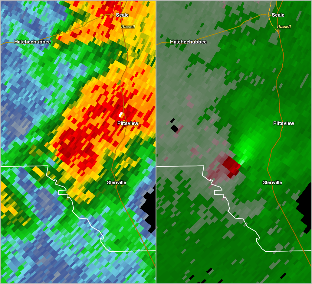
This is an image of the 0.5 degree reflectivity (left) and velocity (right) data from KMXX at 846 am.
Click to enlarge.