National Weather Service United States Department of Commerce

Alabaster Pelham Tornado - Shelby County
April 19, 2009


EF-0
Estimated Maximum Wind:
80 mph
Injuries/Fatalities:
None
Damage Path Length:
2.10 miles
Maximum Path Width:
800 yards
Approximate Start Point/Time:
33.2566/-86.8123
at 616 pm
Approximate End Point/Time:
33.2775/-86.7891
at 620 pm

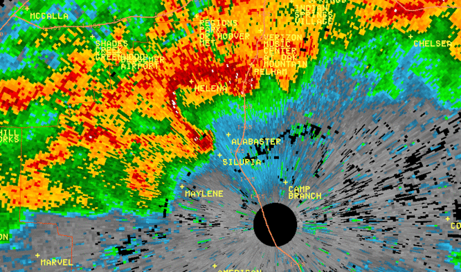
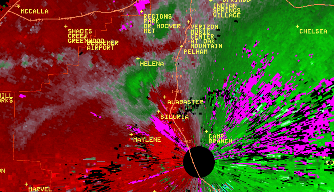
A National Weather Service Damage Assessment Team has surveyed the storm damage in Shelby County. It has been determined the damage was the result of a tornado. The tornado has been rated an EF-0 on the Enhanced Fujita Scale. Damage estimates were consistent with winds around 80 mph.

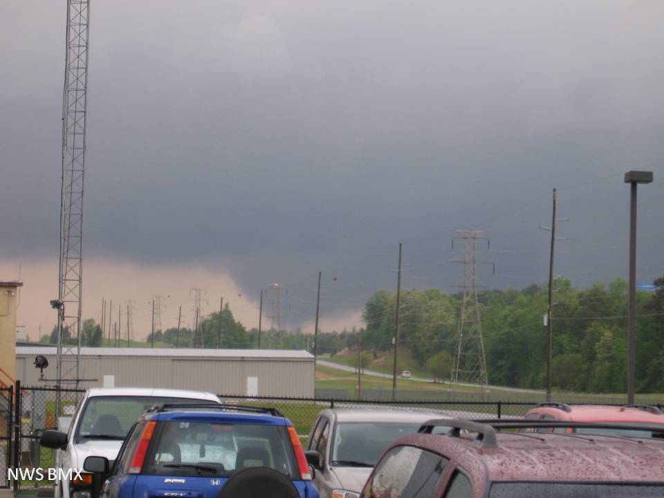
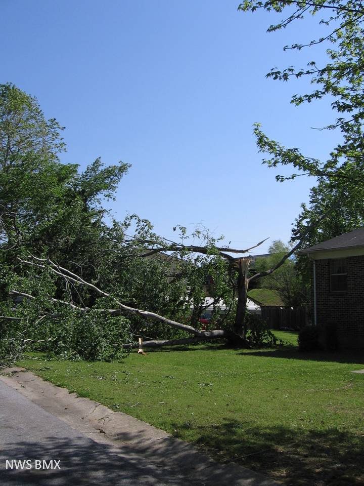
A tornado touched down in Alabaster near the intersection of US Highway 31 and County Road 66. The tornado traveled northeastward and crossed Interstate 65. The tornado lifted just after crossing County Road 52 near the fire station in Pelham. Numerous trees were snapped and uprooted along the path. A few apartment complexes sustained minor to moderate roof damage. Several fallen trees landed on homes and mobile homes. A large billboard was blown down and blocking the north bound lanes of Interstate 65. At its widest point, the tornado was 800 yards wide.


Radar


Radar
The top image is a KBMX 0.5 degree reflectivity loop. The bottom image is a KBMX 0.5 degree storm relative velocity loop. The green indicates wind blowing toward the radar while red indicates wind blowing away from the radar. This storm exhibited gate-to-gate rotation and a pronounced hook echo with associated Rear Flank Downdraft (RFD) at times. The dark circle in the middle of the images is where the radar is located.

Funnel cloud
Funnel Cloud near Shelby Medical Center

Wall cloud
Wall Cloud north of Shelby Co Airport


Damage

Roof Damage

Damage

Trees Snapped