|
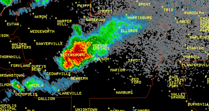
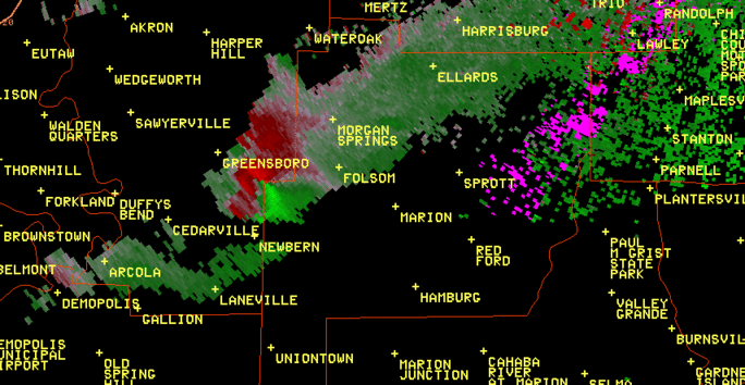
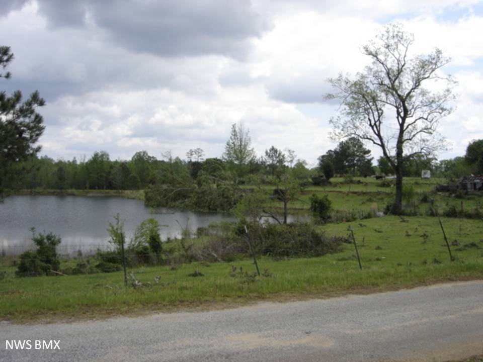
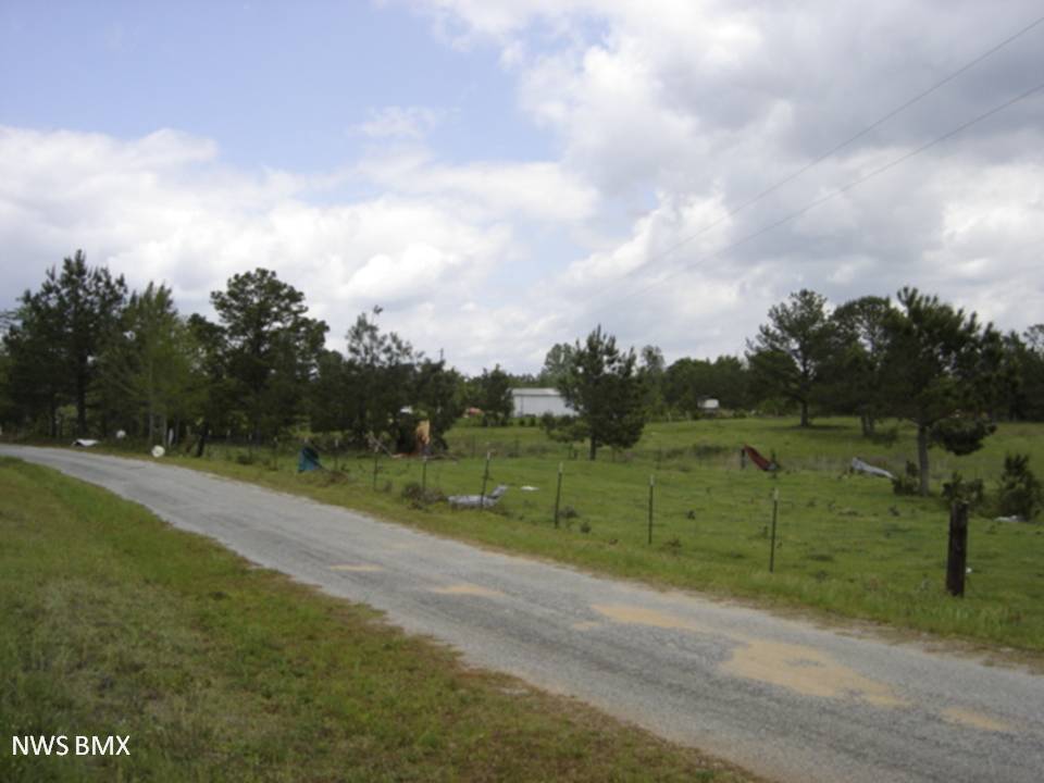
A National Weather Service Damage Assessment Team has surveyed the storm damage in western Perry County. It has been determined the damage was the result of a tornado. The tornado has been rated an EF-1 on the Enhanced Fujita Scale. Damage estimates were consistent with winds around 90 mph.
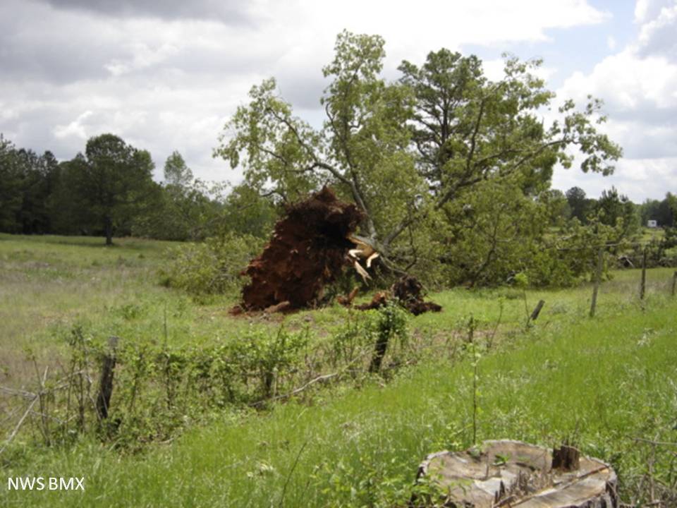
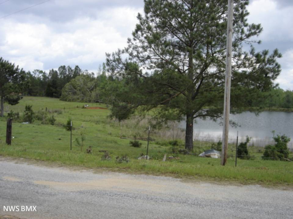
A tornado touched down about 1 mile north of County Road 48 and traveled to the east-northeast crossing over several dirt roads before lifting just to the east of County Road 23, about 1 mile north of County Road 24. Along the path, large hardwood trees were uprooted and snapped and softwoods were snapped. One home sustained minor shingle damage near the beginning of the path and near the end of the path, a deer stand was destroyed. The tornado path length was 3.77 miles and at its widest point, the tornado was 50 yards wide.
|