|
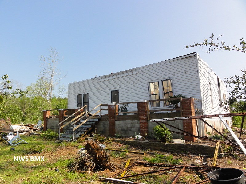
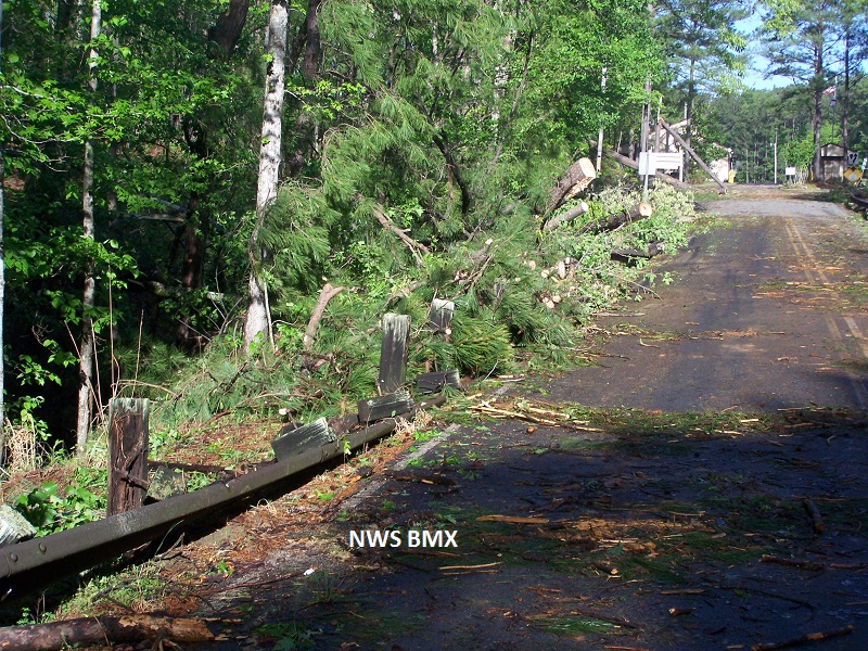
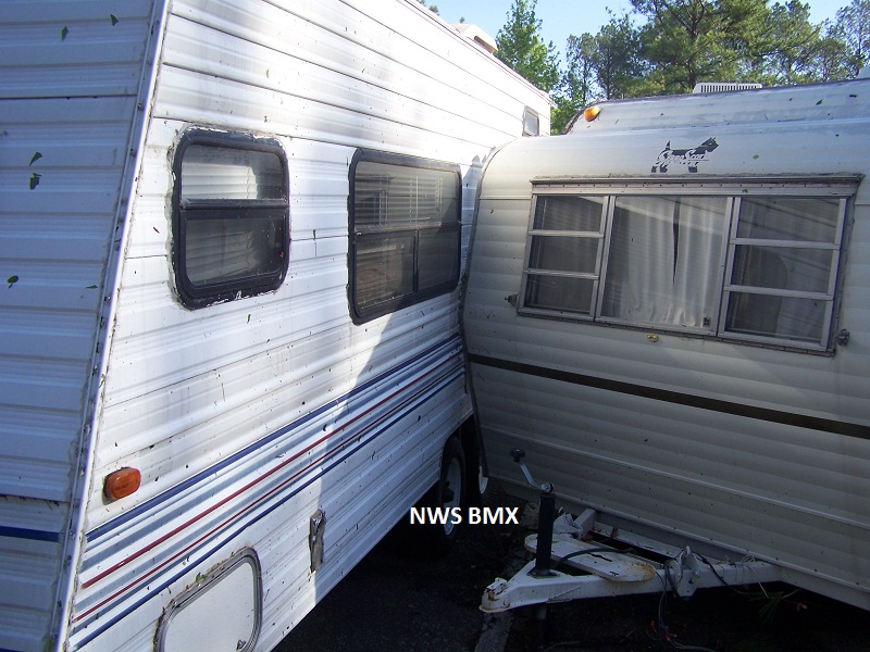
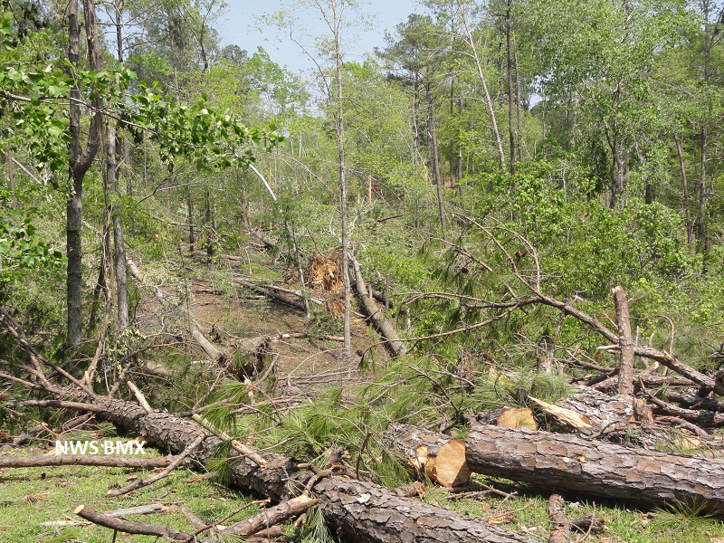
National Weather Service meteorologists surveyed the damage in northern Elmore, southern Coosa and northwestern Tallapoosa Counties. It has been determined that the damage was consistent with a tornado. Winds were estimated around 130 mph. The tornado touched down 6.4 miles west of Central along County Road 334 in northern Elmore County. The tornado mainly uprooted and snapped hardwood and softwood trees. From there, the tornado traveled northeast and crossed Alabama Highway 9 in southern Coosa County where it caused structure damage to at least 5 homes in Equality, where the roof and rear wall were destroyed. There was also roof damage to several outbuildings. The tornado continued northeast into Tallapoosa County where trees were snapped and uprooted in the Wind Creek State Park. The tornado lifted on the east side of northern Lake Martin, where several homes were damaged by fallen trees. The tornado damage path was 20.75 miles long and was 1320 yards wide at its widest point.
2 Tornado Warnings were in effect from 1044 pm until 1215 am.
|