|
Event Summary
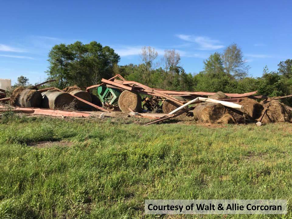
NWS Meteorologists surveyed damage in southern Russell County and determined that the damage was consistent with an EF-0 tornado. Maximum winds were estimated to be around 75 mph.
The tornado touched down in rural, southern Russell County just inside the county line and moved eastward and crossed Corbett Creek. Two pivot irrigation systems were flipped on a local farm, and a small metal shed was destroyed. The tornado then continued eastward and crossed Barbour Creek Road, where numerous small pine trees were snapped or uprooted along a short portion of the road, completely blocking the roadway. The tornado lifted just east of Barbour Creek Rd.
|