National Weather Service United States Department of Commerce

Severe Weather on April 5, 2017

Event Summary for Central Alabama

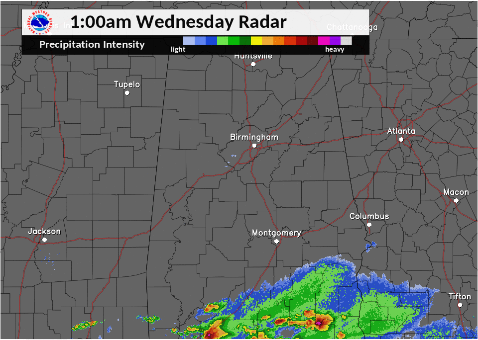
Two rounds of severe thunderstorms were observed on April 5th.  The first round occurred during the early morning hours as a warm front quickly lifted northward from the Gulf Coast in response to a rapidly developing storm system over the Plains. Elevated supercell thunderstorms with damaging straight-line winds and large hail occurred between 5am and 10am.  Localized flooding also occurred due to training of storms along the warm front, which was set up along the I-20 corridor.

As the warm front continued to lift northward, a lull in the shower and thunderstorm activity occurred during the mid-morning and early afternoon hours. A 40 knot southwesterly low-level jet became established during the afternoon ahead of a cold front/dry line moving eastward from Mississippi.  Very unstable air advected northward into Central Alabama, with increased instability due to daytime heating with clouds decreasing in coverage.  Low-level directional shear also decreased during the afternoon, which limited the tornado potential. Temperatures aloft were also quite cold, between -13°C and -15°C at 500mb.  Supercell thunderstorms developed along and east of the I-65 corridor ahead of the cold front/dry line, which acted as the primary lifting mechanism.  Very large hail up to the size of baseballs was reported across east Alabama in the Munford and Oxford Communities, along with numerous other hail reports across east Alabama.  Three tornadoes occurred along with straight-line wind damage in Tallapoosa County.  The supercell storms moved east into Georgia by the early evening hours on April 5th.

The information contained below is from 3 individual tornado tracks and 1 straight line wind damage event that occurred. The data is PRELIMINARY and may be subject to change.


Location/Clickable Detailed Summary Link
Damage Rating/Estimated Maximum Wind Speeds
Injuries/Fatalities
Damage Path Length/Width
Starting Point/Time
Ending Point/Time
Sandy Creek Tornado
(Barbour County)
EF-1
100-105 mph
None
1.25 miles
440 yards

5 ENE Richards Crossroads
31.7595/-85.1753
10:49 am CDT

8 SSE Eufaula Country Club
31.7743/-85.1336
10:55 am CDT
Hightower Tornado
(Cleburne County)
EF-0
60 mph
None
0.25 miles
75 yards

3 S Trickem
33.5342/-85.3868
4:44 pm CDT

3 WSW Ranburne
33.5344/-85.3924
4:45 pm CDT
Union Hill Tornado
(Chambers County)
EF-1
90 mph
None 1.96 miles
125 yards
2 N Trammel Crossroads
33.0037/-85.5402
8:39 pm CDT
2 W Penton
33.0050/-85.5064
8:43 pm CDT
(Tallapoosa County)
70-75 mph
None
1.77 miles

1 E New Site
33.0353/-85.7649
4:50 pm CDT

2 ENE New Site
33.0419/-85.7353
4:53 pm CDT
 

Pertinent Geographic Information Systems (GIS) Data from this Event


Severe Weather Episode Data 

300 mb
300 mb Analysis
April 5 at 6 am

300 mb
300 mb Analysis
April 5 at 6 pm

300 mb
500 mb Analysis
April 5 at 6 am

500 mb
500 mb Analysis
April 5 at 6 pm

500 mb
850 mb Analysis
April 5 at 6 am

500 mb
850 mb Analysis
April 5 at 6 pm

sfc
Surface Analysis
April 5 at 6 am

sfc
Surface Analysis
April 5 at 1 pm

sfc
Storm Reports
April 5, 2017

Day 1
Day 1 Outlook
Issued April 5 at 1100 am

sfc
Day 2 Outlook
Issued April 4 at 1am

sfc
Day 3 Outlook
Issued April 3 at 226 am


Day 1 Tornado Probabilities
Issued April 5 at 1130 am

sfc
Day 1 Wind Damage Probabilities
Issued April 5 at 1129 am

sfc
Day 1 Hail Probabilities
Issued February 7 at 700 am


KBMX Sounding
  April 5th at 12pm

Storm Reports
KBMX Sounding
April 5th at 4 pm

Storm Reports
Rainfall Plot 48 Hour Total
Ending April 6th at 7 am


AM Radar Loop
  April 5th

Storm Reports
PM Radar Loop
April 5th