|
Event Summary
|
|
EF-1
|
|
Estimated Maximum Wind:
|
95 mph
|
|
Injuries/Fatalities:
|
None |
|
Damage Path Length:
|
3.88 miles
|
|
Maximum Path Width:
|
400 yards
|
|
Approximate Start Point/Time:
|
1 SSW Holt L&D
33.2447/-87.4525
at 1010 PM CDT
|
|
Approximate End Point/Time:
|
2 NNE Deerlick Creek Campgrounds
33.2912/-87.4160
at 1016 PM CDT
|
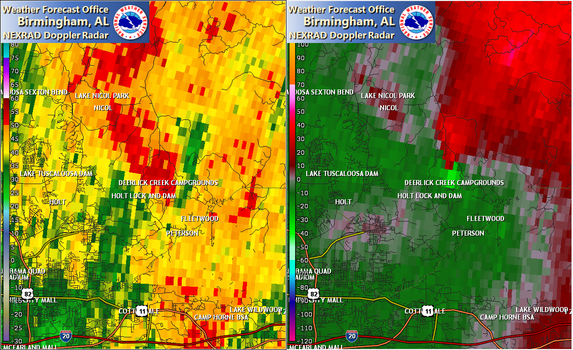
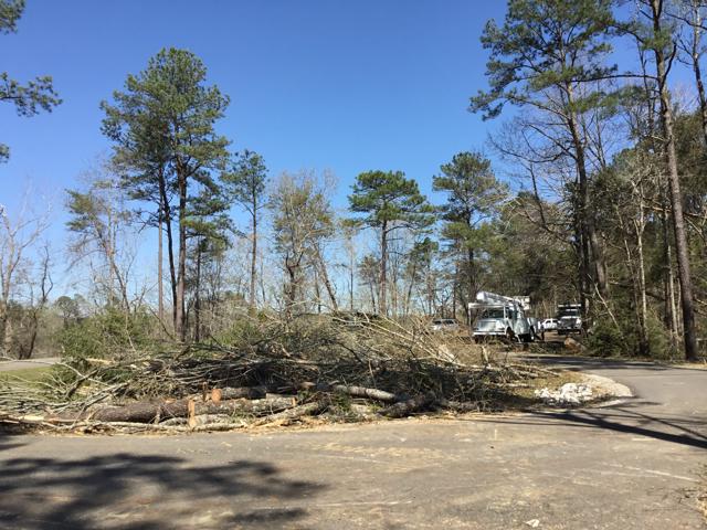
NWS Meteorologists surveyed damage in the Deerlick Creek Park and Holt L&D area of Tuscaloosa County and determined it was the result of an EF-1 tornado.
The tornado began in a wooded area just east of Holt near Hurricane Creek. It began to snap and uproot trees as it crossed Don Drive and Shades Creek Drive. It reached its maximum intensity on the south side of Holt Lock and Dam based on tree damage. It crossed the Black Warrior River and continued to snap and uproot trees at the Deerlick Creek Campground. Here some trees fell on RVs but the campground received the warning and most guests took shelter. The tornado continued to down trees on Deerlick Road as it began to parallel the Black Warrior River, with more trees down at the end of Port Mayfield Road. The tornado continued northeastward into an inaccessible area but based on radar it dissipated before crossing the Black Warrior River again.
The data is PRELIMINARY and may be subject to change.
|