|
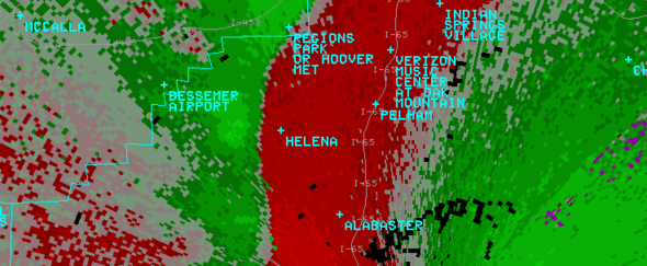
A National Weather Service Damage Assessment Team has surveyed the storm damage in Shelby County. It has been determined the damage was the result of a tornado. The tornado has been rated an EF-0 on the Enhanced Fujita Scale. Damage estimates were consistent with winds around 75 mph.
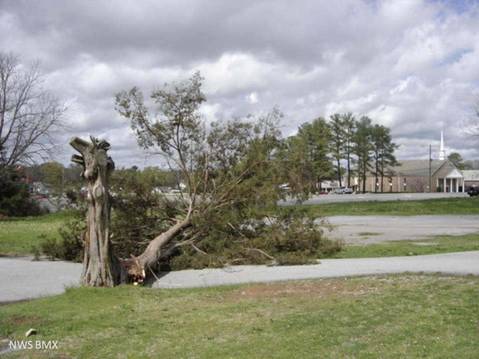
The tornado touched down briefly near the intersection of Kent Dairy Rd. and County Road 17 just north of Maylene, causing sporadic damage as the storm moved to the east. The end of the damage path is on the east side of Interstate 65 near exit 238. Numerous trees were snapped and uprooted and three homes were damaged along the path from trees falling on them.
No hail was reported with this storm.
|