|
Event Summary
|
|
EF-0
|
|
Estimated Maximum Wind:
|
75 mph
|
|
Injuries/Fatalities:
|
None |
|
Damage Path Length:
|
0.35 miles
|
|
Maximum Path Width:
|
70 yards
|
|
Approximate Start Point/Time:
|
4 NNE Ward
32.4134/-88.2421
at 12:31 pm CDT
|
|
Approximate End Point/Time:
|
4 NNE Ward
32.4172/-88.2383
at 12:32 pm CDT
|
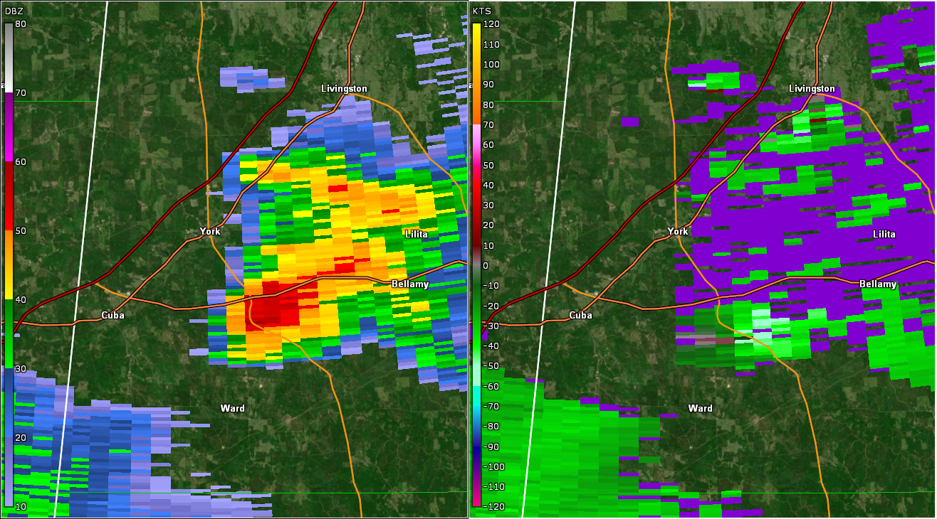
National Weather Service meteorologists surveyed the damage in Southern Sumter County and determined it was the result of an EF-0 tornado.
The tornado began and ended near the intersection of Walker Road and Highway 17. Damage consisted of uprooted trees, broken large tree branches, and some shingle damage to a residence. The tornado damage path was 0.35 miles long and was 70 yards wide at its widest point. The maximum winds were estimated around 75 mph.
|