|
By P.H. Smyth, Meteorologist, Montgomery Weather Bureau
(from Monthly Weather Review, April 1919)
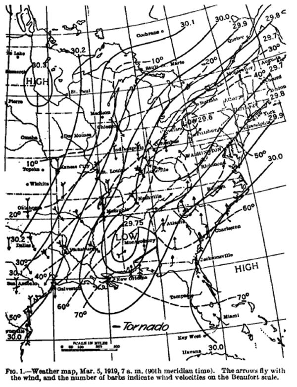
As shown on the map of southern Alabama (below), early in the afternoon of March 5th, a tornado developed in the southwest portion of Escambia County and moved northeast by east to the central-eastern portion of Barbour county. The path of the tornado was about 130 to 140 miles long and from probably a hundred or more yards to 2 or 3 miles wide. It was reported at Flomation, in Escambia County, between 12:30 p.m. and l2:40 p.m.: at Pollard, 6 or 8 miles northeast of Floniaton, at 13:45 p.m., reached the extreme southern portion of Crenshaw County at 1:30 p.m. and Eufaula, Barbour County, where it was most destructive, at 2:45 p.m. The tornado does not seem to have passed over into Georgia.
At Flomation, the path of greatest destruction was 75 to 100 yards wide. The funnel-shaped cloud was observed. Trees on the north side of the path lie toward the south, and on the south side, northeast by east. One small building was completely destroyed, one house and the passenger station of the Louisville & Nashville Railroad Co. damaged to the extent of $700 to $1,000. Only one person was reported injured.
At Pollard, the path of greatest destruction was about 300 yards wide. The funnel-shaped cloud was observed. Trees lie toward the northeast on the south side of the path and also in the center of the path, but on the north side, although the general direction was northeast, there was more of a mixup. The damage to property at Pollard is estimated at $20,000, and two persons were injured.
The cooperative observer at Troy, Ala., reports that in the southeast portion of Pike County, the Friendship M.E. and Shady Grove Baptist Churches were demolished and that a 12-year-old girl was killed. Damage to barns, etc., was considerable.
Six miles south of Brantley, in Crenshaw County, five or six persons were injured. At Eufaula, the tornado advanced from the southwest toward the northeast.
No one at Eufaula noticed a funnel-shaped cloud. The general direction of trees on the north and south sides and in the center of the path was toward north of east, though there were a few exceptions The path of greatest destruction was 1.5 to 2 miles wide.
The money value of property destroyed is estimated at from $150,000 to $200,000. Drs. J. B. and G. W. Whitlock were considerably injured when their building collapsed. The Catholic Church, a brick structure, located about one-half miles west of this building, was also destroyed. Three brick storehouses were completely wrecked, and of nine persons in them four were killed and five injured. Several lightly constructed buildings in the residence section also went down, but no one was seriously injured. Hundreds of trees were blown down, and practically every tin roof in the business section of the town was more or less damaged.
Tornadoes 1919 Page 34
Monthly Weather Review April 1919 Page 237 |