National Weather Service United States Department of Commerce

Tornadoes of March 3, 2019

Event Summary for Central Alabama

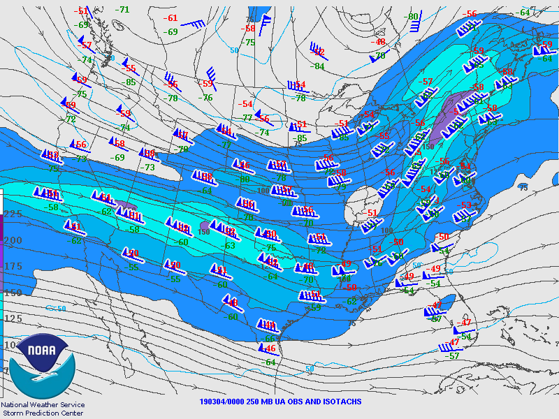
On the morning of Sunday March 3rd, 2019 an upper-level disturbance moved eastward from the Southern Plains into the southern Gulf Coast States. As favorable upper-level support and deep-layer forcing approached the lower Mississippi River Valley, a surface low pressure developed and moved northeastward into Central Alabama by late morning. Ahead of this surface low, a warm front initially along the Florida Panhandle moved northward allowing for the transport of warm, moist unstable air into southern and southeastern Central Alabama. This frontal boundary eventually became more stationary and stalled out north of the I-85 corridor as the strengthening surface low moved eastward. During this time, a large area of elevated thunderstorms affected portions northern Central Alabama whilst severe and supercell thunderstorms initiated across the favorable warm sector. As these supercells intensified during the afternoon, tornadic parameters became even more favorable as moisture, instability, deep-layer shear, and low-level shear maximized in an area along and south of the I-85 corridor.

Though a total six tornadoes impacted areas across southern and southeastern Central Alabama that afternoon, 34 other tornadoes occurred in association with discrete supercells and the quasi-linear convective system that moved eastward into areas of Georgia, Florida, and South Carolina in the afternoon and overnight hours. Specific information for the six tornadoes that affected Central Alabama can be found below.

Interactive Tornado Map
 
 
Location/Clickable Detailed Summary Link
Damage Rating/Estimated Maximum Wind Speeds
Injuries/Fatalities
Damage Path Length/Width
Starting Point/Time
Ending Point/Time
County Road 33 Tornado
(Autauga County)
EF-0
75 mph
None
0.62 miles
70 yards

2 ENE Mulberry
32.4710-86.7470
1:19 pm CST

2 ENE Mulberry
32.4762/-86.7385
1:19 pm CST
EF-4
170 mph
(EF-3 in WFO FFC, GA)
23 fatalities
90 Injuries
26.73 miles
1600 yards

3 NW Society Hill
32.4472-85.4818
2:00 pm CST

3 NE Smiths Station
32.5750/-85.0570
2:29 pm CST
EF-2
115 mph
1 Injury
29.15 miles
1300 yards

3 ESE Liverpool
32.3455/-85.7356
2:27 pm CST

2 S Griffen Mill
32.4919/-85.2738
2:57 pm CST
County Road 8 Tornado
(Bullock County)
EF-0
65 mph
None
0.42 miles
50 yards

4 SSW Inverness
31.9637/-85.7804
3:15 pm CST

4 SSW Inverness
31.9637/-85.7733
3:15 pm CST
County Road 79 Tornado
(Barbour County)
EF-2
115 mph
None
6.68 miles
700 yards

3 SSW Batesville
31.9653/-85.3392
3:45 pm CST

1 SW Lugo
31.9509/-85.2283
3:55 pm CST
Weedon Field Tornado
(Barbour County)
EF-2
130 mph
(Cont'd into GA)
None
4.20 miles
600 yards

3 NW Old Town Creek Rec Area
31.9483/-85.1537
3:58 pm CST

3 NE Old Town Creek Rec Area
31.9485/-85.0833
4:03 pm CST
 

Pertinent Geographic Information Systems (GIS) Data from this Event


Severe Weather Episode Data 

250 mb
250 mb Analysis
March 3 at 6 am

500 mb
500 mb Analysis
March 3 at 6 am

850 mb
850 mb Analysis
March 3 at 6 am

250 mb
250 mb Analysis
March 3 at 6 pm

500 mb
500 mb Analysis
March 3 at 6 pm

850 mb
850 mb Analysis
March 3 at 6 pm

Surface
Surface Analysis
March 3 at 12 pm

Surface
Surface Analysis
March 3 at 3 pm

Surface
Surface Analysis
March 3 at 6 pm

Severe Threats
Local Severe Outlook
Issued March 1 at 415 am

Severe Threats
Local Severe Outlook
Issued March 2 at 445 am

Severe Threats
Local Severe Outlook
Issued March 3 at 4 am

KMBX Sounding
KBMX Sounding
March 3 at 6 am

KBMX Sounding
KBMX Sounding
March 3 at 6 pm

Storm Reports
Storm Reports
March 3