|
Tornadoes and Severe Weather of March 2, 2012
|
Event Summary for Central Alabama
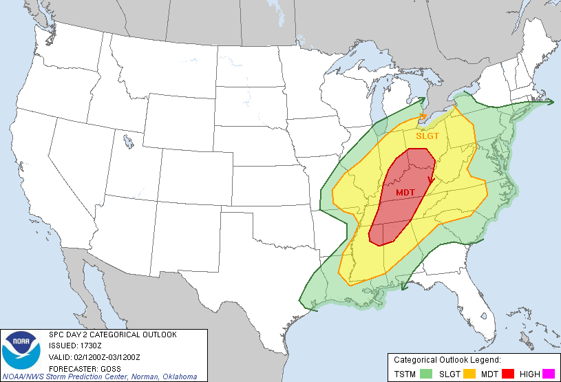
On March 2, 2012, a strong cold front moved through Central Alabama. Severe thunderstorms developed along and ahead of this front. Some of these thunderstorms were supercells. These supercells produced damage across southern and eastern sections of the area. Damaging straight line winds, tornadoes, large hail and localized flooding occurred with this event. The information below summarizes the tornadoes from this day:
|
|
Location/Clickable Detailed Summary Link
|
Damage Rating/Estimated Maximum Wind Speeds
|
Injuries/Fatalities
|
Damage Path Length/Width
|
Starting Point/Time
|
Ending Point/Time
|
|
|
EF-1
110 mph
|
None
|
17.64 miles
400 yards
|
32.0859/-86.7779
5:53 pm
|
32.1824/-86.4998
6:15 pm
|
|
|
EF-1
105 mph
|
None
|
18.99 miles
750 yards
|
32.5486/-87.1531
9:15 pm
|
32.6350/-86.8455
9:37 pm
|
|
|
EF-2
125 mph
|
None
|
28.58 miles
700 yards
|
32.7246/-86.5361
10:01 pm
|
32.8493/-86.0729
10:33 pm
|
| Eagle Creek (Tallapoosa/Chambers Counties) |
EF-2
125 mph
|
2 Injuries/1 Fatality
|
34.26 miles
1000 yards
|
32.8666/-85.9669
10:40 pm
|
33.0109/-85.4487
11:14 pm
|
|
 |
| The tornado damage "swaths" as depicted in the image above, and on the individual tornado links, are an estimate of the damage widths along the track. In other words, the track width may not represent the actual damage in all locations, as we interpolate the values between actual surveyed damage points. These maps are solely for the purpose of showing the general track of each tornado. Remember, tornadoes do not always move in straight lines, and the intensity does not remain constant. It is also possible to have other thunderstorm wind-related damage in close proximity to the tornado tracks from such features as inflow and rear flank downdrafts, which can produce tornado-like damage. |
Local Storm Report Information - Interactive Map
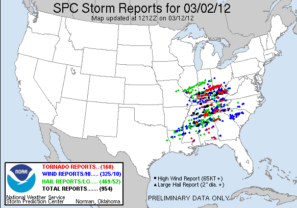
Click on the symbols below for Local Storm Reports from across Central Alabama on March 2nd. Large hail and damaging winds were primarily reported across northern portions of the state during the late afternoon and early evening hours. Tornadic supercells developed across the southern counties during the late evening hours on March 2nd. You can zoom into the map using the mouse wheel or the plus (+) and minus (-) buttons at the top left corner of the map. |
|
Severe Weather Episode Data
|
|
|
| |
|