|
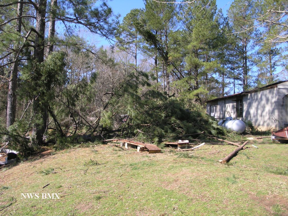
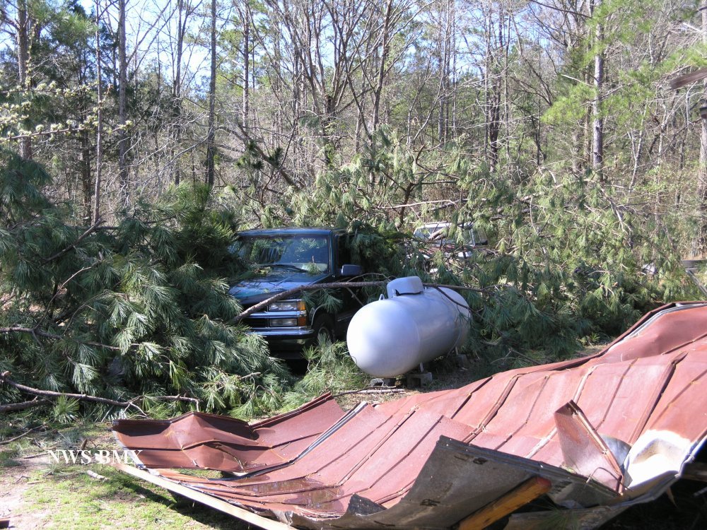
The storm damage in Chambers County has been surveyed and it has been determined that the damage was caused by a tornado. Special thanks to Chambers County EMA for conducting this survey.
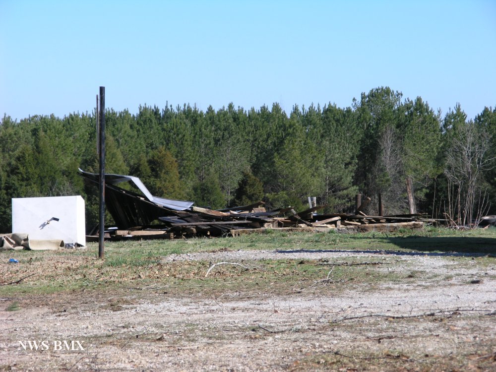
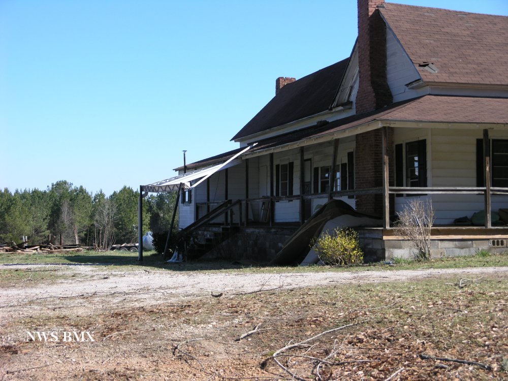
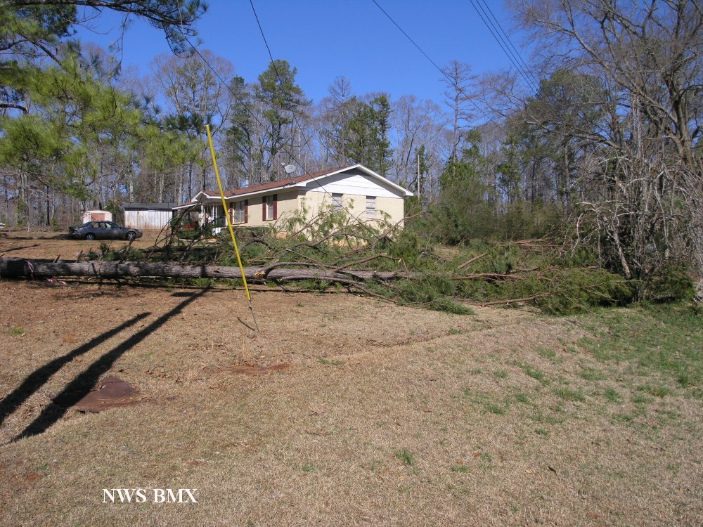
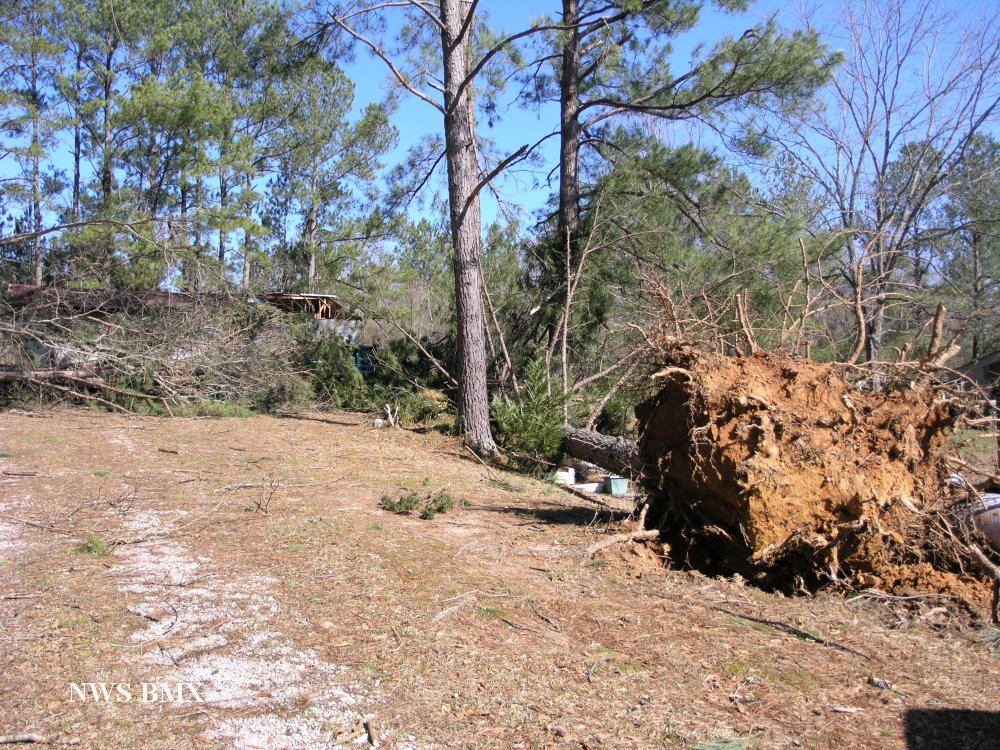
The tornado touched down just west of the intersection of CR 160 and CR 162. The tornado tracked eastward generally along CR 160 and lifted as it approached US Highway 431. Several trees were either snapped off or uprooted along the damage path. Several homes suffered minor shingle damage and a few had metal roofs peeled back. A few manufactured homes suffered minor skirting damage. One barn was totally destroyed. Several automobiles were damaged by fallen trees.
All pictures courtesy of Chambers County Emergency Management.
|