|
Event Summary
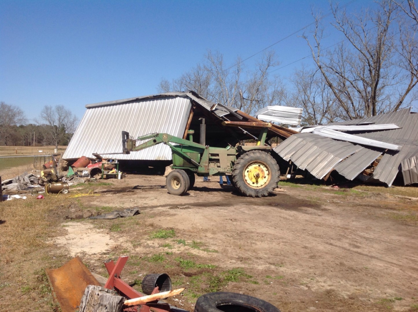
National Weather Service meteorologists surveyed damage in northwestern Russell County and have determined that the damage was consistent with an EF-1 tornado. Winds were estimated to be around 90 mph.
The tornado touched down just southwest of Huguley Road, where it quickly intensified and snapped or uprooted numerous trees. The tornado achieved maximum intensity at this location, with winds around 90 mph. The most concentrated tree damage to mostly softwood trees was also observed. Moving quickly northeastward, the tornado crossed Capps Road, Phillips Road, Willis Valley Road, and Herring Road. A large steel truss shed was completely destroyed on Herring and lofted upward over power lines. An adjacent single family home sustained shingle damage, and a brick chimney collapsed. These were the only structures damaged in this tornado. Continuing northeastward, the tornado crossed U. S. Highway 80. Sporadic tree damage was noted along Green Dudley Road before ending at Thomas Road.
|
 Shapefile