|
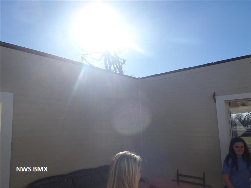
National Weather Service meteorologists have surveyed the damage in eastern Perry County and Chilton County and determined it was the result of an EF-2 tornado. The supercell which produced the County Road 7 EF-1 tornado in central Perry County quickly generated a second tornado just south of the first tornado path. This tornado continued into Chilton County, causing damage in Maplesville and lifting near Lomax, north of Clanton. The tornado touched down along County Road 16, east of Alabama Road 175 in Perry County and moved northeast into the Talladega National Forest. Along County Road 9, the Sanctuary of Historic Ephesus Church was destroyed as the roof and steeple were partially blown away. Hundreds of trees were snapped or uprooted in this area of widespread damage. The tornado moved along Alabama Highway 183 for approximately 6 miles causing extensive tree damage. The tornado crossed Mat Moore Road and entered Chilton County south of Alabama Highway 183, causing extensive tree damage in the Talladega National Forest. Along US Highway 82 to the west of Maplesville, 16 homes received significant roof damage, either partially or completely removed. The tornado tracked just north of downtown Maplesville, damaging homes and businesses. In Maplesville, 150 citizens took shelter in a community shelter, which had trees fall on it but caused no significant damage or injuries. As the tornado tracked along Alabama Highway 22, numerous trees were knocked down and a radio tower collapsed. The tornado took a noticeable turn to the left and moved just south of Lomax. Widespread and intense tree damage resulted in damage to several homes. However, one well-designed and well-built home less than 50 yards from the track escaped with only superficial damage. The tornado weakened rapidly as it crossed US Highway 31 and dissipated before crossing Alabama Highway 145 and Interstate 65.
|