|
Event Summary
National Weather Service meteorologists surveyed damage in Pike and Barbour Counties and determined that the damage was consistent with an EF-1 tornado.
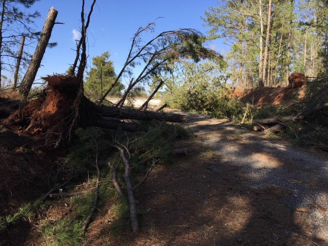
A long-lived tornado touched down along Pike County Road 1107, about 5 miles north of Goshen. The tornado traveled almost due east and produced mostly EF0 damage near Troy while the remainder of the damage was relatively light. The tornado continued eastward. South of Banks, the tornado produced EF1 damage and the strongest winds. Just south of Pike County Road 18, a mobile home suffered significant damage. The two occupants were uninjured as they took shelter after hearing about the warning. The tornado proceeded east where it downed trees and caused minor roof damage. The tornado lifted just east of Louisville off of Carroway Road. The tornado damage width was mainly under 100 yards except at the two higher damage locations. The tornado was 37.34 miles long and was 400 yards wide at its widest point. The tornado was rated an EF-1 with maximum winds around 90 mph.
Thanks to Pike/Barbour County EMA's for their assistance with this survey.
|