National Weather Service United States Department of Commerce

Hamilton EF-0 Tornado (Marion Co)

 
EF-0
Estimated Maximum Wind:
85 mph
Injuries/Fatalities:
None
Damage Path Length:
0.28 miles
Maximum Path Width:
60 yards
Approximate Start Point/Time:
34.1765/-87.9537 at 523 pm 
Approximate End Point/Time:
34.1778/-87.9491 at 523 pm
 

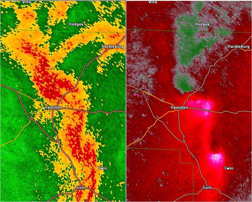
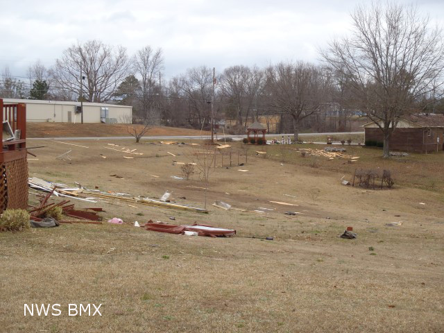
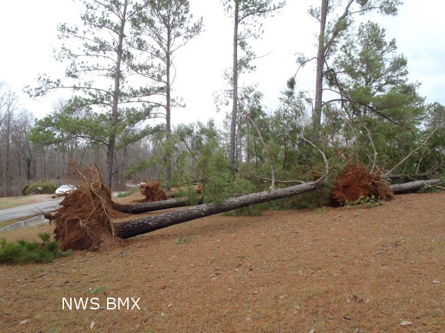
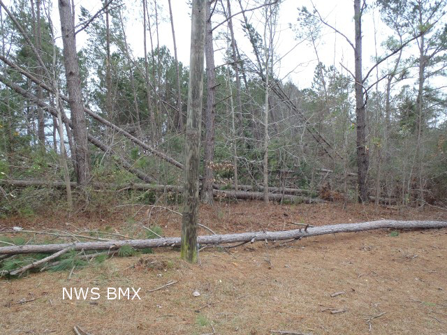
National Weather Service Meteorologists surveyed damage in Marion County near Hamilton and confirmed a weak tornado. The tornado touched down near the intersection of Highway 43/17 and Beecher Street, about 3 miles northeast of Hamilton. The tornado path was all on the southeast side of Highway 43/17. One home suffered roof and shingle damage, and several trees were uprooted. Some of the debris was thrown several hundred yards downstream.

Special thanks to the Marion County Emergency Management Agency for assisting with the survey.


View larger map

Damage Point legend
  Download in KML         Shapefile Information
 
 
Radar Data 

Radar Image
This is an image of the 0.5 degree reflectivity (left) and velocity (right) data from KGWX at 523 pm as the weak tornado touched down just north of Hamilton.
Click to enlarge.


Storm Damage Images - Click to Enlarge

Storm Damage Image
  Roof damage

Storm Damage Image
Scattered debris

Storm Damage Image
  Tree damage

Storm Damage Image
Tree damage