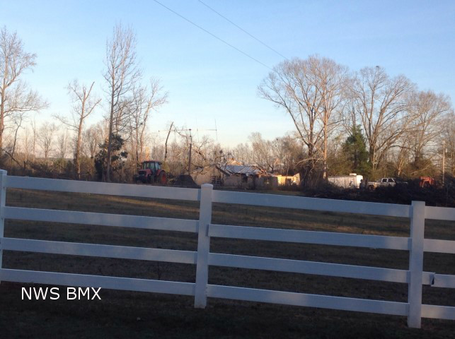
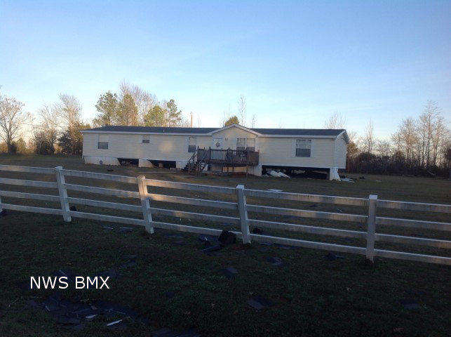
National Weather Service meteorologists surveyed damage in Greene County and confirmed the damage was produced by a tornado. The tornado touched down on County Road 117...south of County Road 115. The tornado nearly paralleled County Road 117 for its entire duration with damage on both side of the road. Damage was light at the beginning of the path with only branches off trees. The damage intensified along the path and dozens of hardwoods and softwoods were snapped off or were uprooted. One home had a large tree fall on it causing major damage. One mobile home suffered minor skirting damage and a few outbuildings were damaged.
Radar Data
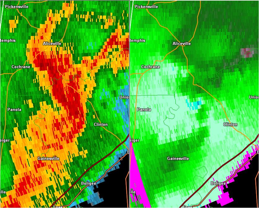
This is an image of the 0.5 degree reflectivity (left) and velocity (right) data from KBMX at 455 pm as the tornado touched down.
Click to enlarge.