National Weather Service United States Department of Commerce

Old Bodka Road EF-1 Tornado (Sumter Co)

 
EF-1
Estimated Maximum Wind:
95 mph
Injuries/Fatalities:
None
Damage Path Length:
1.25 miles
Maximum Path Width:
200 yards
Approximate Start Point/Time:
32.8062/-88.2937 at 436 pm 
Approximate End Point/Time:
32.8211/-88.2822 at 437 pm
 

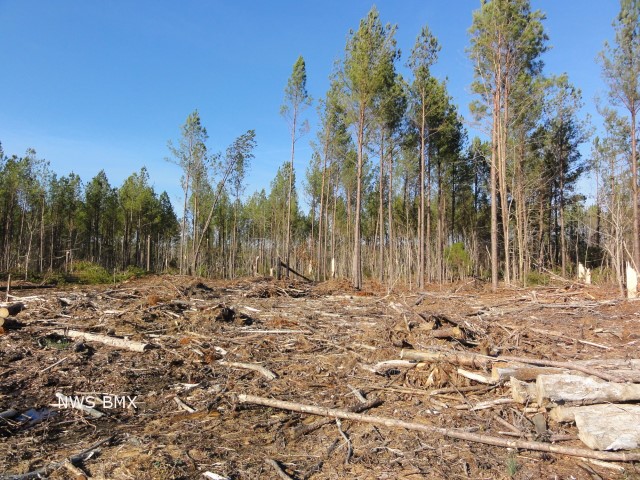
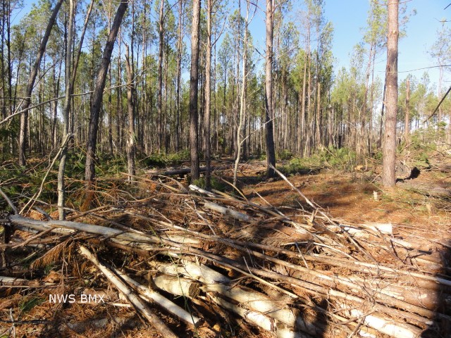
National Weather Service meteorologists surveyed damage in Sumter County and confirmed a tornado. The tornado touched down along State Highway 116 between Old Bodka Road and State Highway 17. The tornado traveled northeast and lifted near Old Bodka Road and Bodka Creek. The most concentrated damage was near Old Bodka Road where hundreds of trees were snapped off or were uprooted.


View larger map

Damage Point legend
  Download in KML         Shapefile Information
 
 
Radar Data 

Radar Image
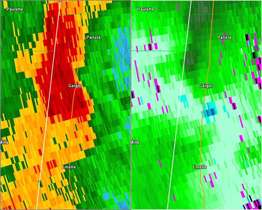
This is an image of the 0.5 degree reflectivity (left) and velocity (right) data from KBMX at 438 pm as the weak tornado lifted.
Click to enlarge.


Storm Damage Images - Click to Enlarge

Storm Damage Image
  Tree damage

Storm Damage Image
Tree damage