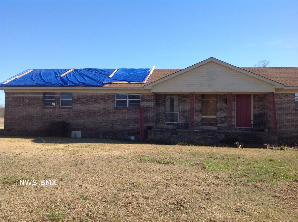
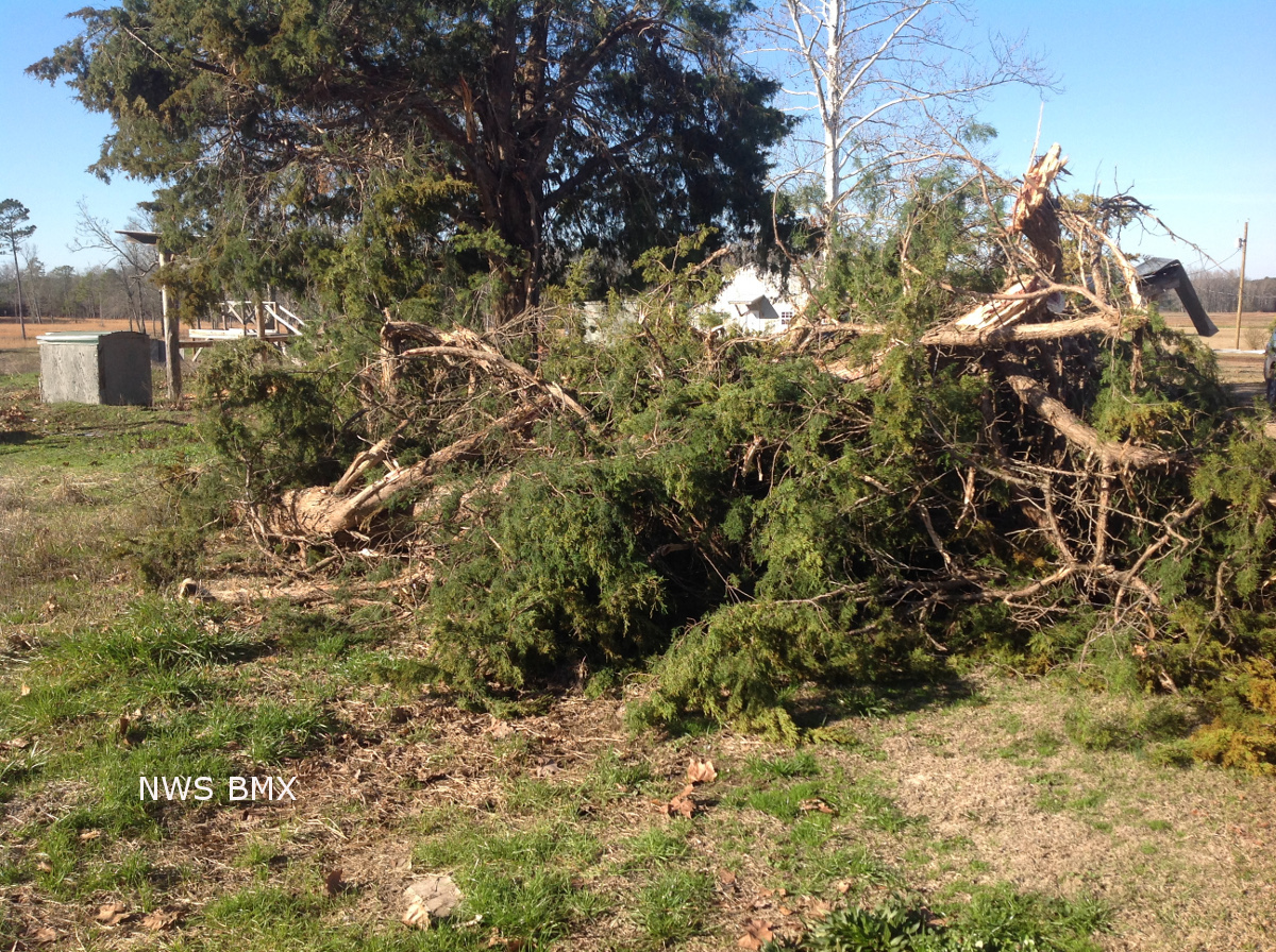
National Weather Service meteorologists surveyed damage in Greene and Tuscaloosa Counties and confirmed a weak tornado. The tornado touched down near the Greene-Tuscaloosa County Line just south of the Jena Community. The initial touchdown was along Shiloh Road where trees were uprooted. The tornado traveled northeast into Tuscaloosa County crossing Homestead Road and Romulus Road where two homes suffered roof damage and several outbuildings were damaged or destroyed. The tornado lifted just north of Romulus Road.
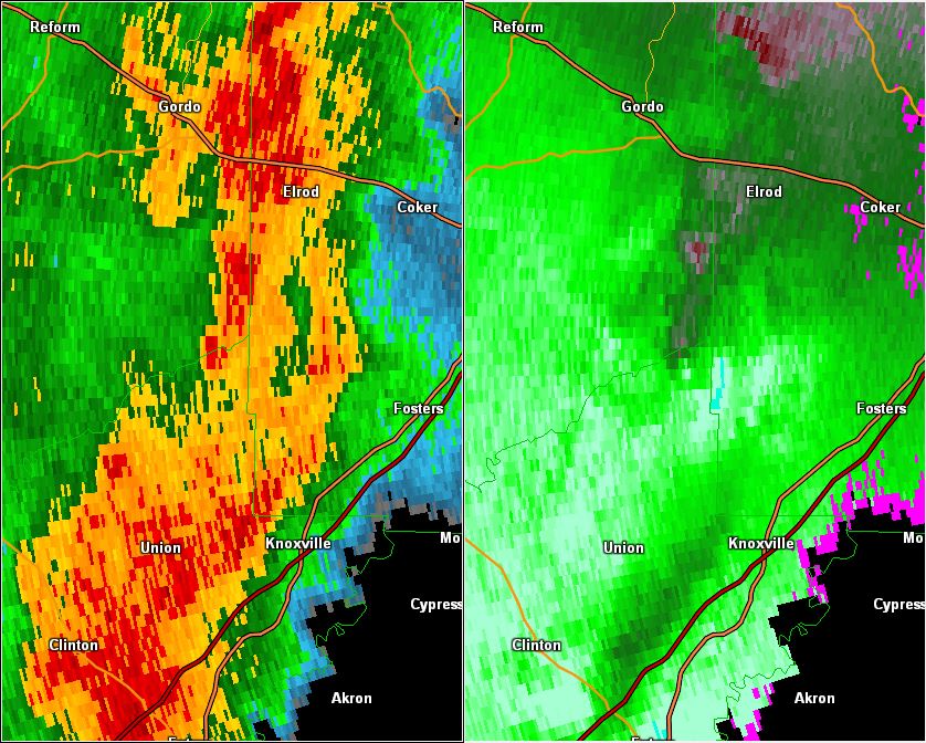
This is an image of the 0.5 degree reflectivity (left) and velocity (right) data from KBMX at 1520 pm as the weak tornado crossed into Tuscaloosa County.
Click to enlarge.