Aberdeen, SD
Weather Forecast Office
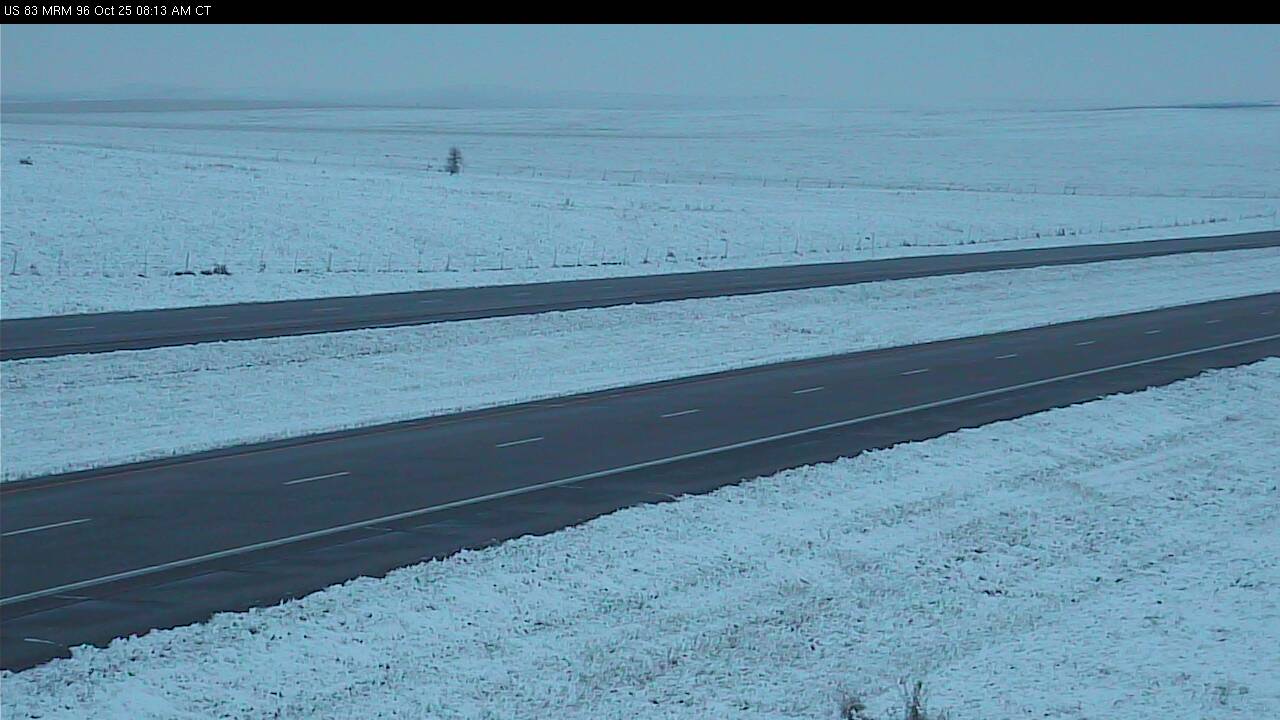
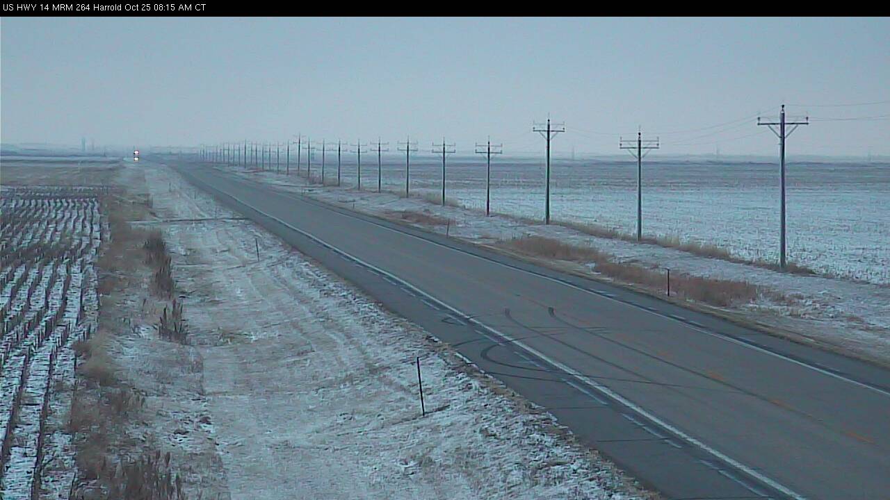
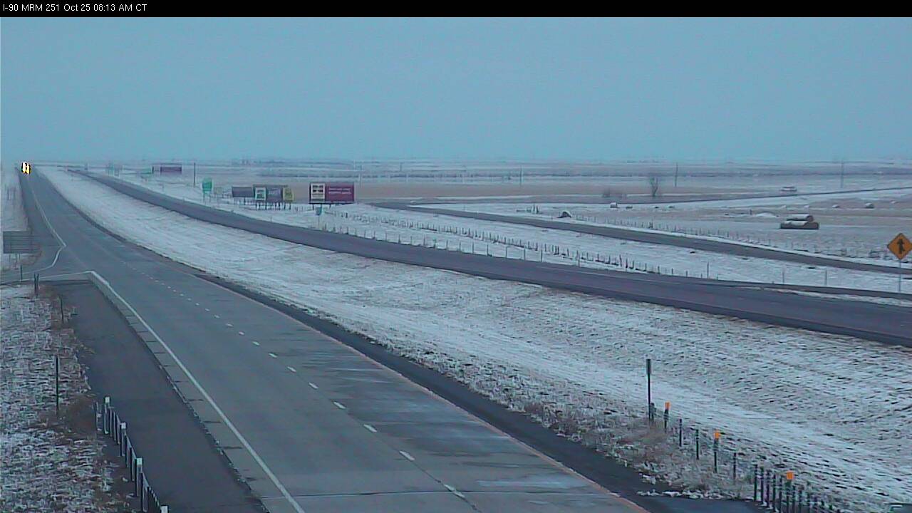
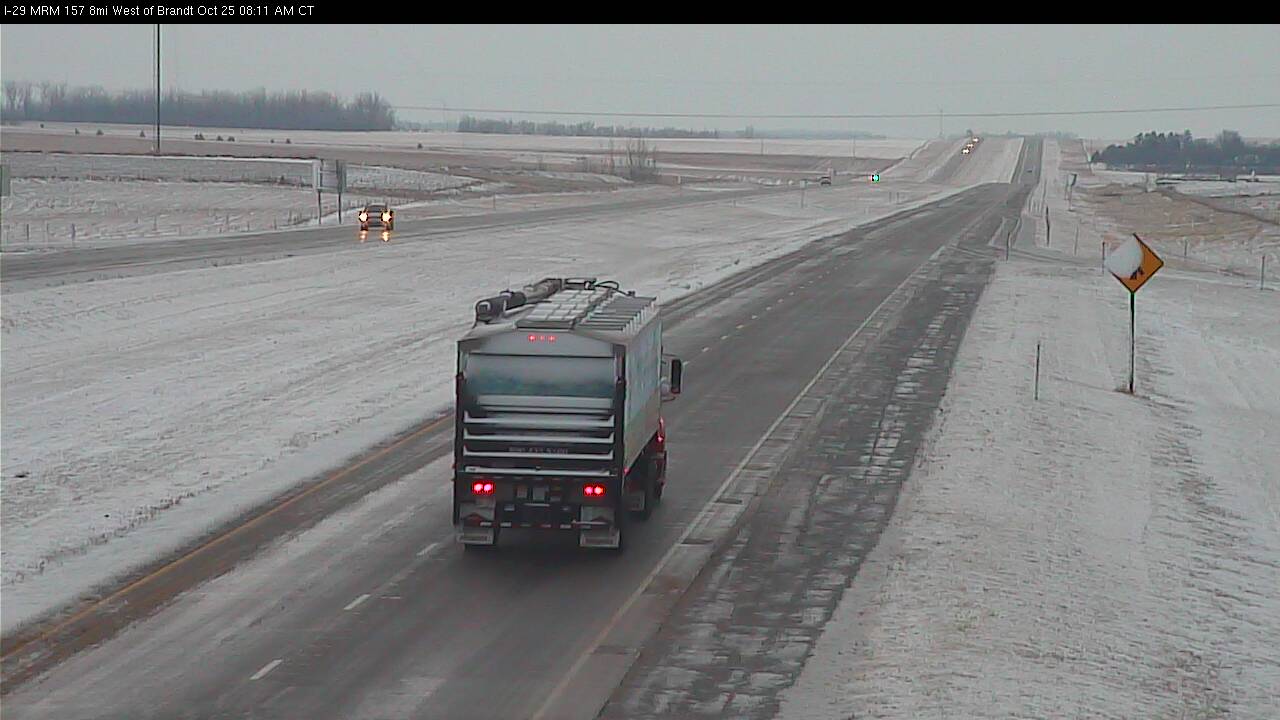
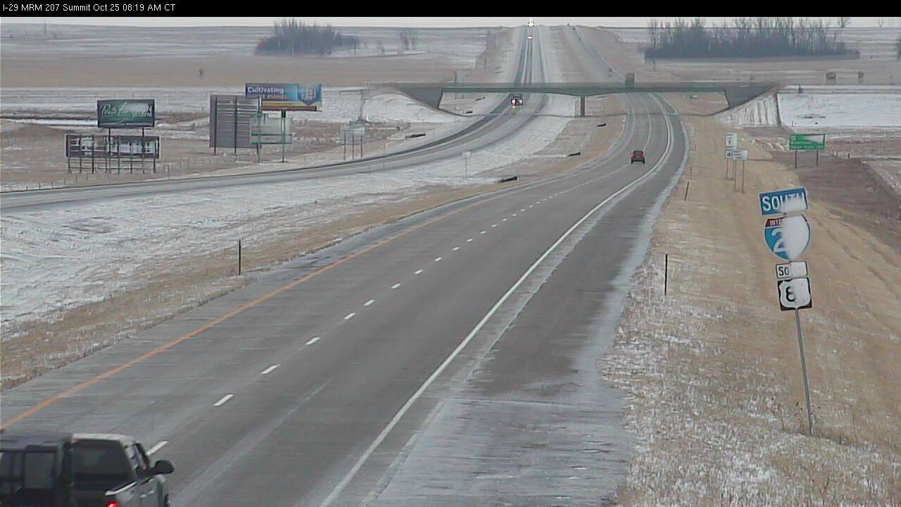
The first accumulating snowfall of the season occurred over portions of South Dakota and Minnesota last evening through early Thursday morning, October 24-25th. A majority of the snow fell along and south of line from Pierre to Watertown to Ortonville. Snowfall amounts were generally light - ranging from a trace to as much as 3-4" in isolated areas. Due to the brief duration and relatively low intensity of the snow, accumulations were generally confined to grassy areas - with roadways remaining primarily wet.
A few images of the snowfall from area webcams are provided below.
Near Vivian, SD
Near Harrold, SD
Near Reliance, SD
Near Brandt, SD
Near Summit, SD
Near Clear Lake, SD
![]()
US Dept of Commerce
National Oceanic and Atmospheric Administration
National Weather Service
Aberdeen, SD
824 391st Ave S.
Aberdeen, SD 57401-9311
605-225-0519
Comments? Questions? Please Contact Us.

