Event Synopsis:
A vigorous, but fast moving winter storm system moved through the Dakotas last night and early today. Although snow accumulations from the storm only ranged from 1 to 4 inches, strong winds behind the system produced significant blowing and drifting snow and widespread blizzard conditions across the area. Reports from trained spotters and law enforcement indicated visibility dropped to below one quarter mile for several hours, and near zero (white-out conditions) in many rural or unsheltered areas. Sustained north to northwest winds at many locations were on the order of 20 to 35 mph, with peak wind gusts as high as 60 to 65 mph. In addition, as the arctic airmass surged into the region, temperatures fell some 30 degrees from early this morning to mid afternoon.
Ingredients for a Blizzard:
The official NWS definition of a "blizzard" is the following:
1) Sustained winds or frequent wind gusts of 35 mph or stronger
2) Considerable falling and/or blowing zero reducing visibility to 1/4 mile or
One common misconception is that blizzards "only" occur with heavy snowfall. Although it is true that major, paralyzing blizzards most often occur in conjuction with heavy snow, blizzards can and do occur with little or no falling snow. For instance, some areas that experienced blizzard conditions today only recieved about an inch of new snowfall. These are often termed "ground blizzards" and occur when very strong winds cause blowing and drifting of loose, existing snow cover (usually fresh snow). During ground blizzards, the poor visibility is generally more sporadic, and is confined to a few feet above ground. In fact, it is possible have a ground blizzard along with sunny skies!
Images from the Blizzard Event of 12 January 2009:
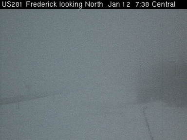
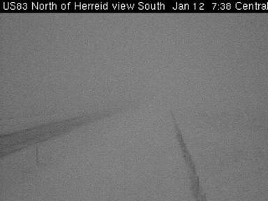
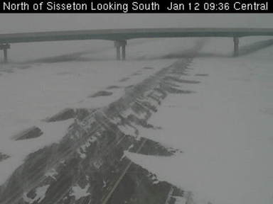
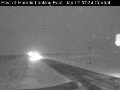
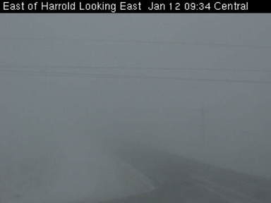
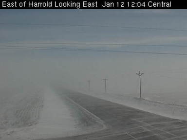
Below are a series of images from the blizzard at several locations throughout South Dakota. Time of the images (left to right) are approximately 730am CST, 930am CST, and 1200pm CST.
US Highway 281 near Frederick, SD:
 |
 |
 |
US Highway 83 north of Herried, SD:
 |
 |
 |
Interstate 29 near Sisseton, SD:
 |
 |
 |
Interstate 29 near Watertown, SD:
 |
 |
 |
US Highway 14 near Harrold, SD:
 |
 |
 |
Mike Fowle - SOO