Weather History - January 19th
Local and Regional Events:
January 19, 1970:
An extremely cold air mass was over settle over South Dakota and western Minnesota. After a frigid night, daytime high temperatures struggled to reach the single digits below zero. Overnight low temperatures across the area were from 25 below to 34 below zero, with daytime highs from 3 above at Sisseton to 12 degrees below zero at Pierre. Record low temperatures were set at Wheaton, Watertown, Pierre, and Kennebec. The temperature fell to 32 degrees below zero at Pierre, 33 degrees below zero at Watertown and Wheaton, and 34 degrees zero at Kennebec. Aberdeen fell to 35 degrees below zero, Sisseton dropped to 26 degrees below zero, Mobridge fell to 25 degrees below zero, Sisseton fell to 26 degrees below zero, and Timber Lake fell to 27 degrees below zero.
U.S.A and Global Events for January 19th:
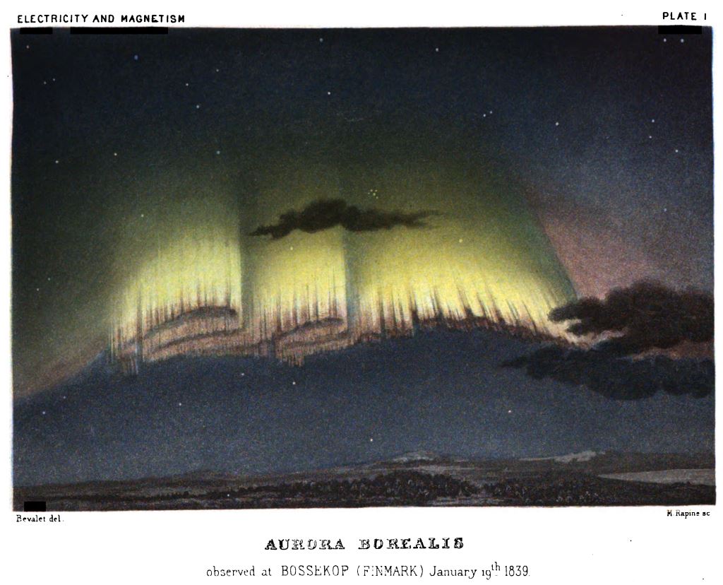
1839: An Aurora Borealis observed at Bossekop, Norway, on January 19th, 1839. Illustration from 'Electricity and Magnetism' by Amedee Guillemin (1826-1893), published in London in 1891.
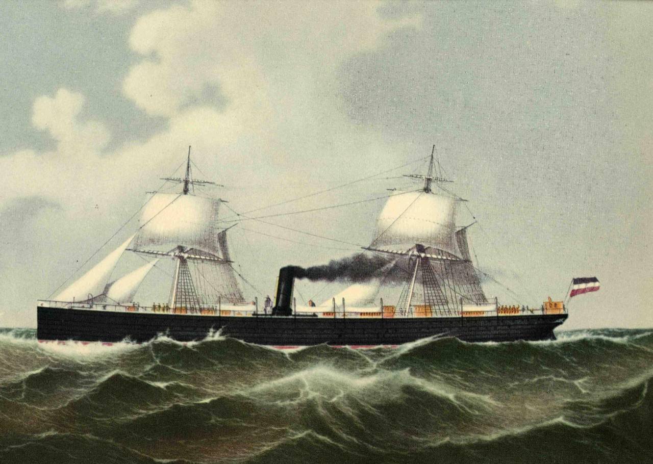
1883: The steamers of Cimbria and Sultan collided in the North Sea due to dense fog. This collision resulted in the death of over 350 people. Click HERE for more information from the website, Hapag-Lloyd.com.
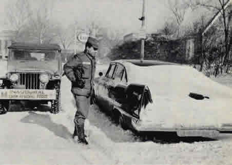
1961: Eight inches of snow fell and caused crippling traffic jams around the Washington D.C. area on the eve of John Kennedy's inauguration. The president-elect had to cancel dinner plans and, in a struggle to keep other commitments, reportedly had only 4 hours of sleep. Former President Herbert Hoover was unable to fly into Washington National Airport due to the weather, and he had to miss the swearing-in ceremony. Click HERE for more information from the Washington Post.
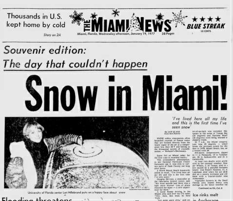
1977: Snow fell in South Florida for the first time in recorded history. Click HERE for more information from the NWS Office in Miami, Florida.
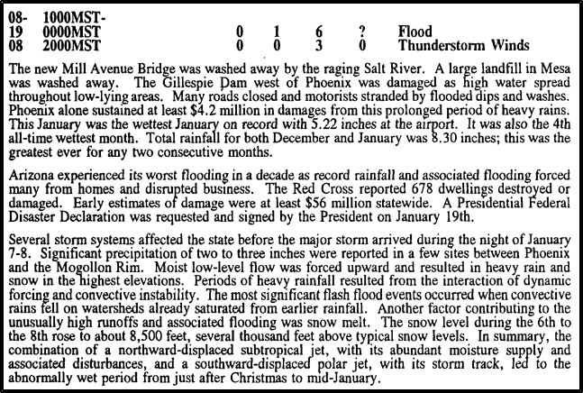
1993: An unusual series of Pacific storm systems tracked across Arizona from January 6th through the 19th, producing heavy and prolonged precipitation across the state. These heavy rains caused the most widespread and severe flooding in Arizona since the turn of the century. The protracted rainfall over the 2 weeks caused multiple flood peaks on most streams and rivers. A large garbage landfill and portions of the new Mill Avenue Bridge under construction were washed away by the raging Salt River. The Gillespie Dam west of Phoenix was damaged as high water spread throughout low-lying areas. One man drowned while trying to cross the Agua Fria River. The image below is from Storm Data.
1996: January 1996 is known as one of the worst snowmelt floods on record for the Mid-Atlantic. The region saw blizzard conditions on January 6 and 7th, which produced 15 to 24 inches east of I-95, and 2 to 3 feet of snow west of I-95. With a tremendous amount of snow on the ground, on January 19, temperatures soared into the 50s and 60s ahead of an approaching cold front. At 7 am in Washington, D.C., was reporting a temperature of 60 degrees with a dewpoint of 60 degrees, both unusually high for a January morning. The warm temperatures combined with rain to melt much of the snowpack, released into the waterways. Click HERE for an excellent webpage from the NWS office in Baltimore/Washington about this event.
Click HERE for more This Day in Weather History from the Southeast Regional Climate Center.