| 2021 Weather Highlights | The Year in Pictures | Other Memorable Events | Hydrology & Drought Status | Fire Weather | Records & Extremes | Monthly Review | Severe Weather |


|
Monthly Review of Weather Events Across New Mexico in 2021
|
|
|
January 2021 was active, with a number of storms affecting New Mexico throughout the month. While temperatures were overall close to normal, precipitation was varied across the state. Southern and western areas tended to be below normal while the northeast was above normal
|
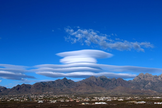
Near Las Cruces February 3rd – photo courtesy of David DuBois |
| February | |
|
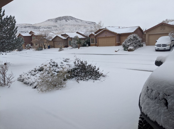
Los Lunas, ©Brian Young, 2/14 - photo courtesy of Cheryl Stephens |
February 2021 temperatures and precipitation was quite varied across New Mexico. Temperatures were near to above normal in the west, near to below normal in central areas, and well below normal in the east, especially as you get closer to the Texas border. Precipitation was mostly near to below normal, but there were small areas of above normal precipitation, mainly in central areas. Strong winds buffeted New Mexico on the 3rd and 4th. The most impressive series of storms this winter struck on the 13th – 18th with 3 storms piling up the snow. During this time record smashing cold air settled over New Mexico. |
|
March 2021 was wetter than normal in the northeast quarter of the state, with pockets of near to above normal precipitation in central New Mexico. The rest of the state was drier than normal. Temperatures were near to below normal statewide, except a little above normal in the southeast. March was highlighted by two major storms, one on the 16th, the other March 23rd through 24th. They were very similar with widespread light to moderate snow and areas of heavy snow. Strong to high winds with some damage occurred with both storms. High winds slammed NM on the 14th. |
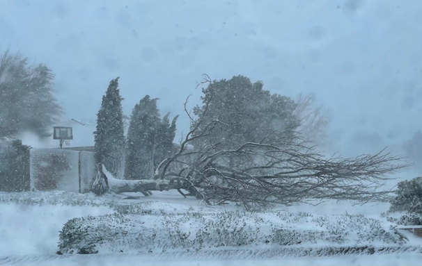
NE Albuquerque 3/24 © Mark Ronchetti via Twitter |
|
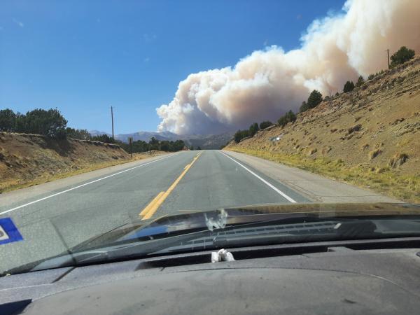
Three Rivers Wildfire, April 27 - photo courtesy of Will Jones. |
April 2021 was drier to much drier than normal statewide Temperatures varied across the state with above normal in the west, near normal central and below normal in the east.
|
|
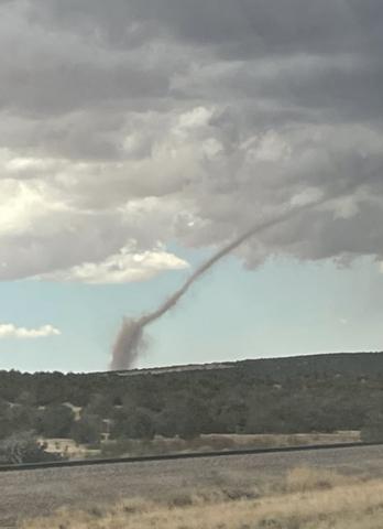
May 2021 was warmer than normal in the west and central areas, and near normal in the east Precipitation ranged from well below normal in the southwest to well above normal in the northeast! Severe weather was the theme for May, especially over the last week of the month. |
Landspout near Abo, May 17 - courtesy of @Crystal Forni (Twitter) |
|
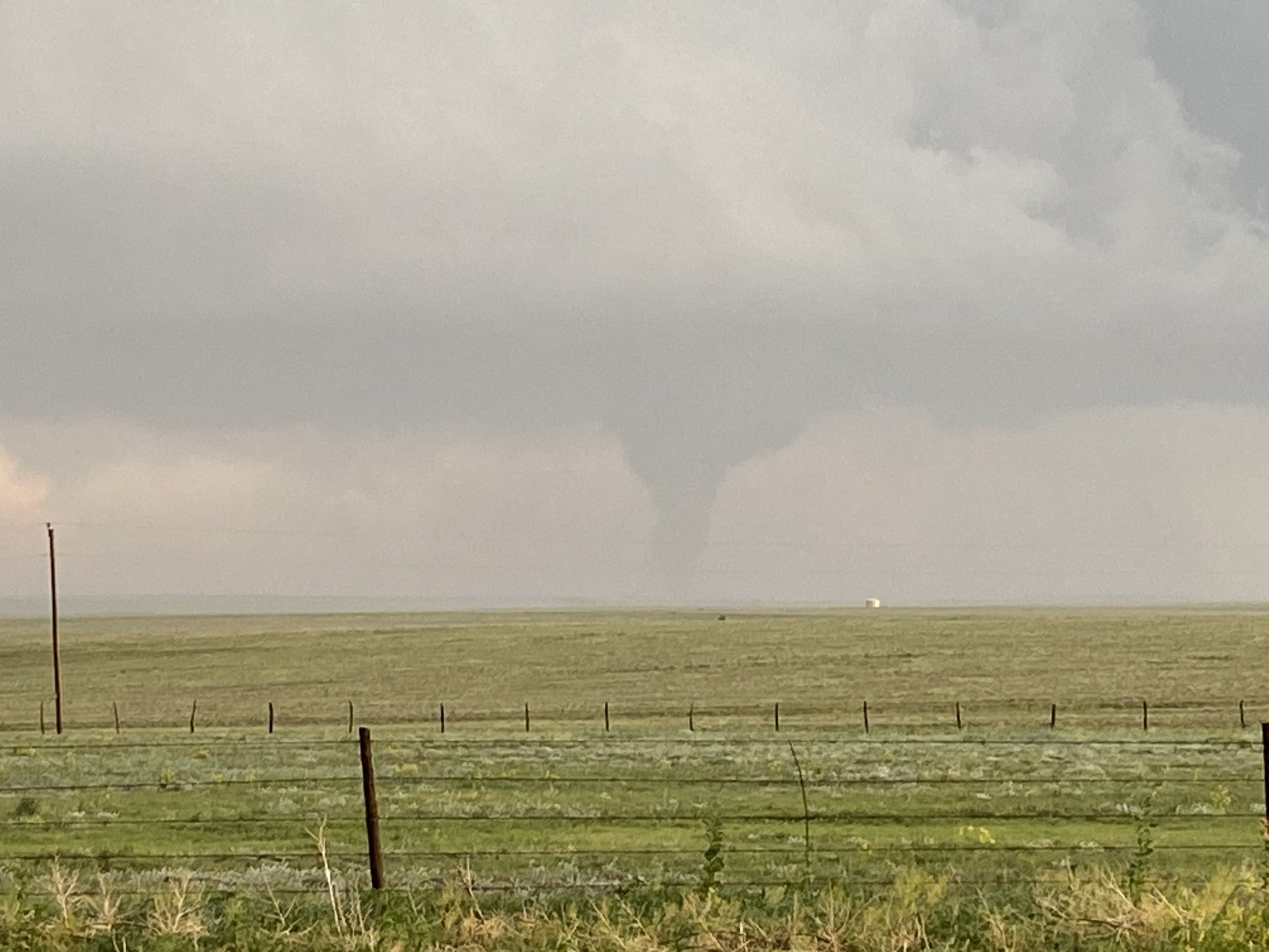
Las Vegas tornado June 12th - courtesy Jessica Moore |
June 2021 was a crazy month with record high temperatures during the first half of the month. The 12th was an active day with high winds and wind damage and very large hail. High winds also occurred on most of the days between the 19th and 24th. The monsoon set in quickly over the last few days of the month, saving us from another exceptionally dry month. In fact, there was so much rain in southeast New Mexico the month ended with precipitation way above normal! The rest of the state was near to above normal, except below normal in the far northeast and far west.
|
|
July 2021 was wet. How wet? Well, much of central and parts of southeast New Mexico received 300 to 500 percent of their normal July rain! The rest of the state was mostly above normal, with near normal in parts of the northwest and southwest. No place was significantly below normal. Roswell kept up it’s hope for a record rainfall in 2021, totaling 2.65 inches for July, or 0.88 inches above normal. It’s the 5th wettest year through the first 7 months. The yearly total of 13.72 inches is already well above the normal annual rainfall of 11.63. Temperatures were not as extreme as the precipitation, with above normal temperatures in the northwest and below normal in the southeast. In between was a band of near normal temperatures (see slides below). |
Upper Canyon above Ruidoso – July 6, 2021 ©Ruidoso PD |
|
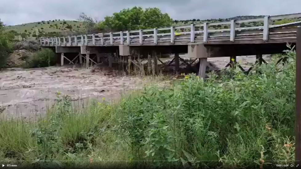
Rio Penasco flooding August 14, 2021 ©Wendell Malone |
August 2021 was in sharp contrast to July, with the monsoon less active overall. Even though central and southern portions of New Mexico received near to above normal precipitation, there was little in the way of flash flooding or severe weather. The middle of the month was most active, with several reports of flash flooding from the 12th through 15th. |
|
September 2021 was warmer to much warmer than normal statewide! Precipitation was near to below normal in the west, and below to well below normal in central and eastern areas. While early and late September was wet, the bulk of the month was dry and very warm, including many record high temperatures. |
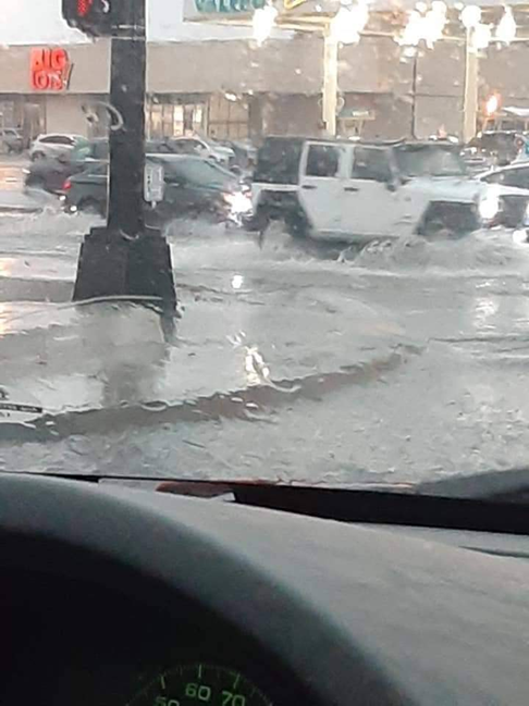
Roswell Flooding, September 4, 2021 - Courtesy Meg Tidmore |
|
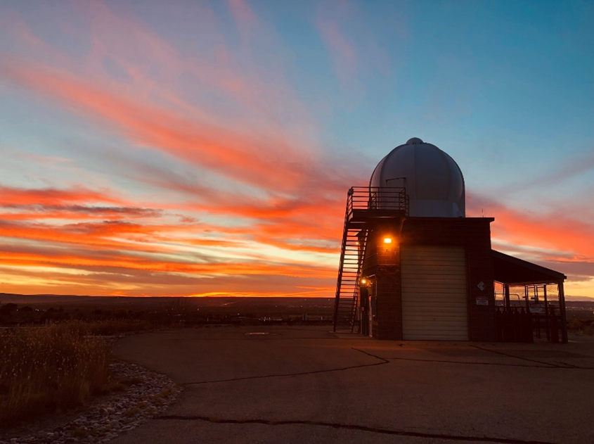
October 24, 2021 ABQ Sunset – photo courtesy of NWS ABQ |
October 2021 was drier than normal for most locations. Temperatures were more varied with below normal readings in the west, near normal central, and above normal temperatures in the east. There were only two storms that impacted the state, one on the 1st and the other on the 10th. The first storm delivered widespread rain and high mountain snow, the second storm brought rain, and isolated hail and high winds.
|
|
November 2021 was much warmer and drier than normal. It was the 2nd warmest and 16th driest November on record for the state. A decent rain and snow producing storm on the 23rd to 24th was the only weather impacts of the month. Record-breaking high temperatures were common early in the month.
|
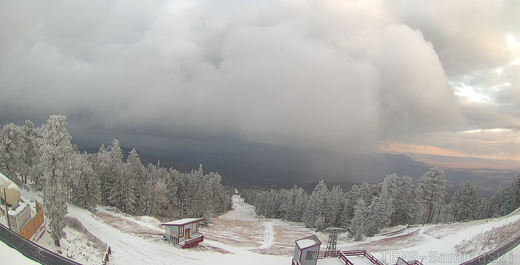
November 24 Sandia Tram East- photo courtesy sandiapeak.com |
|
|
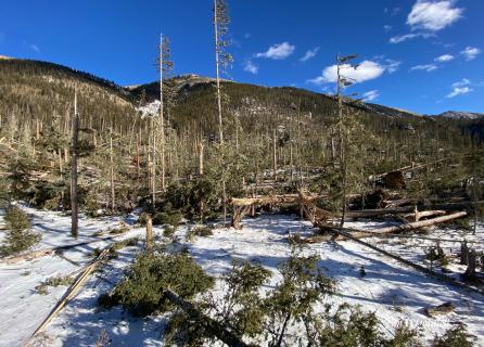
December 2021 was warmer and drier than normal for much of the area. It was also a windy month with a few days of damaging winds. The first bout of strong winds happened on the night of the 9th through 10th with gusts of 55-70 mph common across eastern NM. Light snow also accompanied this system across northwest NM. Winds were even stronger late on the 14th through the 15th. Multiple trees were blown town around Red River and Taos Ski Areas, while Santa Fe and Taos saw other damage. Gusts over 100 mph were clocked at Taos Ski Valley. Strong to damaging winds also occurred on Christmas Eve. A few rounds of much needed snow finally arrived late in the month.
|
| (Return to the main page) |