| 2019 Weather Highlights | The Year in Pictures | Top 5 Weather Stories | Hydrology & Drought Status | Fire Weather | Records & Extremes | Monthly Review | Severe Weather |


|
Monthly Review of Weather Events Across New Mexico in 2019
|
|
|
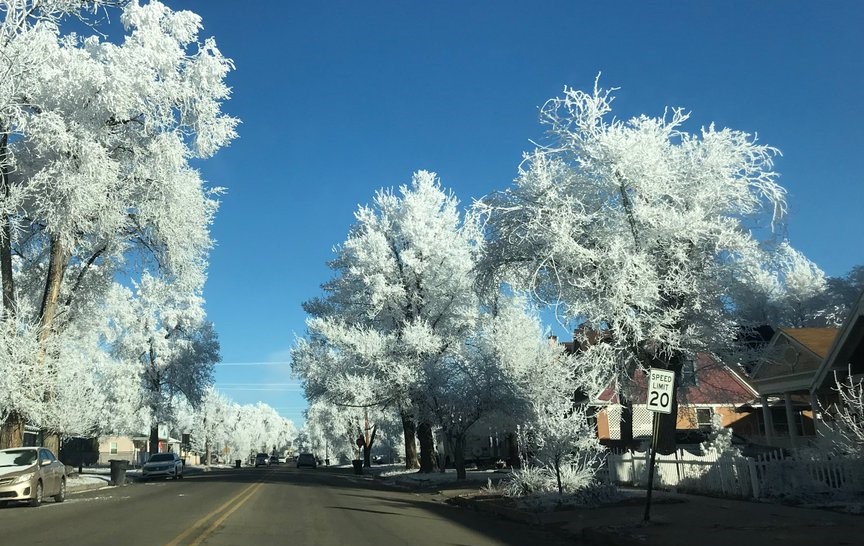
January 2019 ended up close to normal in both temperatures and precipitation. While average temperatures were fairly close to normal, precipitation was more varied. The northwest half of the state had above to well above normal precipitation, while the southeast half had below to much below normal precipitation. The 2019 year began with a major winter storm heading out of the state. It was bitter cold to start the new year. A moderate rain and snow event crossed New Mexico on the 10th through the 11th. Another moderate rain and snow event impacted the state on the 18th, but this storm packed some strong winds. This was the case on the 22nd to 23rd when another storm delivered light to moderate snow and strong winds. |
Taos Jan 2 - photo courtesy of Staci Matlock |
|
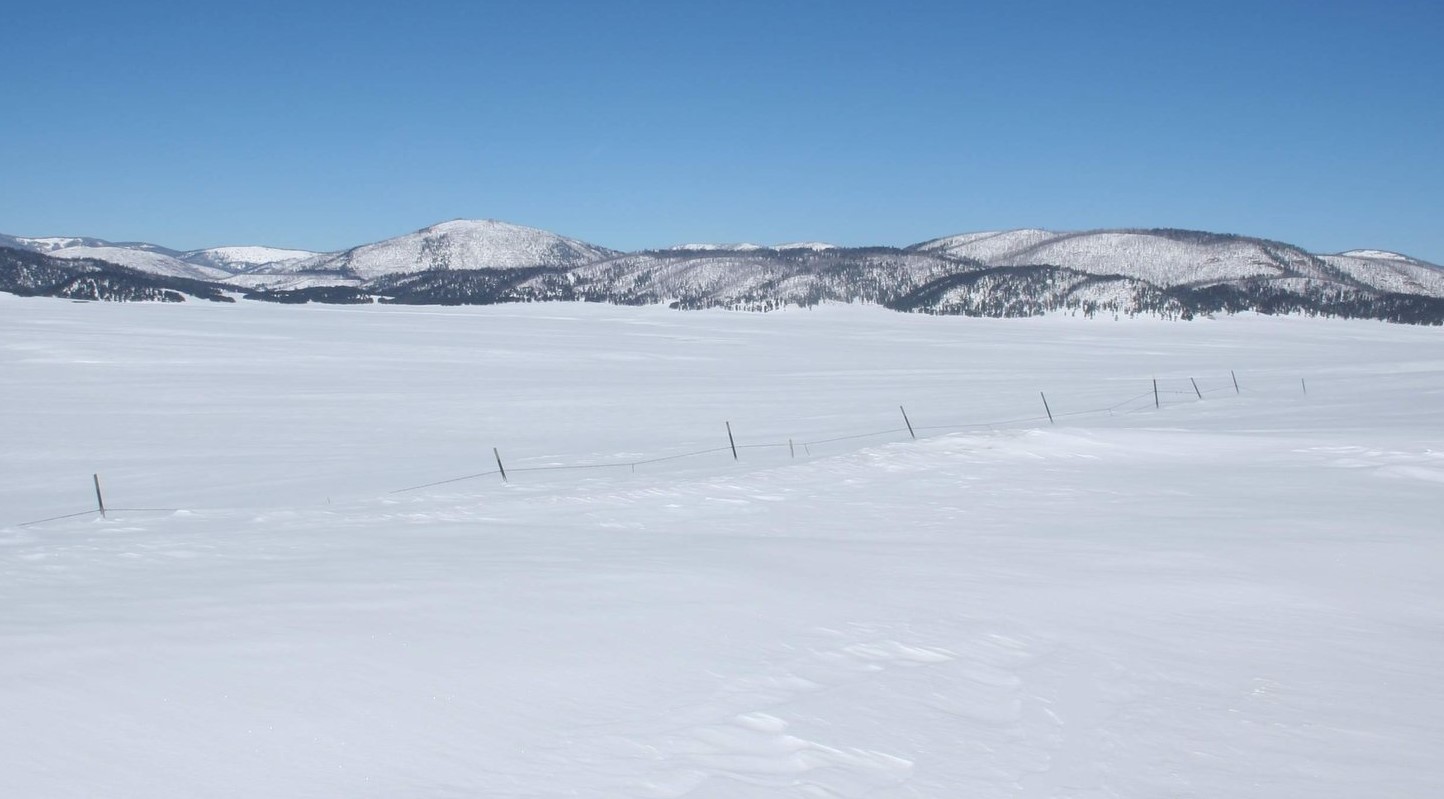
Valles Caldera Feb 23 - photo courtesy of Len Rivera |
February 2019 was wetter than normal in the northwest and drier than normal in the southeast. Temperatures were well below normal in the west, below normal central areas, and near normal in the east. The first half of the month was pretty quiet with strong to high winds the main weather story on the 3rd, 6th and 11th. A light to moderate snow event was recorded on the 6th. Heavy snow blanketed the Chama area on the 13th. Potent storm systems brought widespread, decent snow to many areas on the 18th through 19th, and again on the 22nd through 23rd. The remainder of the month was pretty quiet. |
|
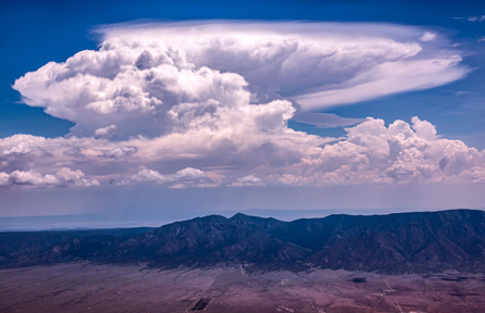
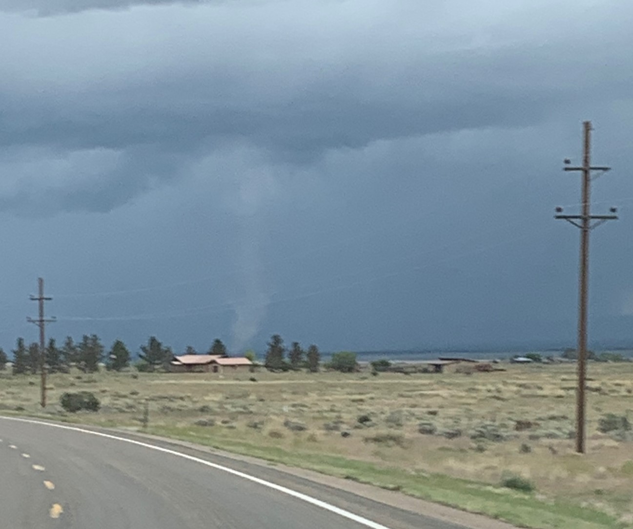
March 2019 was warmer than normal in the west and central areas, below normal on the eastern plains, with a ribbon of near normal along the east slopes of the central mountains and eastern highlands. Precipitation was above normal in the north and south, but near to below normal in central New Mexico (see the images below). While the west enjoyed mostly mild weather through the first 10 days of the month, the east was hit by an arctic cold front on the 3rd, with way below normal temperatures through the 5th. The arctic air was accompanied by a potent storm system that deposited moderate snow amounts over the northern mountains and northeast, with widespread decent rain in the lowlands. Strong to high winds blasted much of the state on the 7th and 8th. A record-breaking storm impacted the state from the 10th through 13th, complete with damaging winds, tornadoes, heavy snow and rain. This "bomb cyclone" deepened rapidly at the surface and aloft over southeast Colorado on the 13th which fueled widespread high winds and locally damaging winds. Many semi-trucks were knocked over. On the 12th an EF-2 tornado touched down for 15 minutes and 15 miles, between Hagerman and Dexter in Chaves County. Another potent storm system struck from the 20th through 22nd. This long duration storm delivered plenty of weather, including rain, mountain snow, strong winds and thunderstorms - some severe with large hail. The last week of the month was relatively quiet with a big warm-up from the 23rd through 28th. A cold front on the 30th and a storm crossing the state on the 31st brought rain and snow and colder temperatures for the end of the month. |
 Las Vegas freezing fog Mar 5 - photo courtesy of Heather Chavez
|
|
Tucumcari Apr 10 - photo courtesy of Ron Warnick |
April 2019 was mostly warmer and wetter than normal. Only northwest New Mexico was drier than normal. Parts of eastern and southern New Mexico experienced near normal temperatures, with all other areas were above normal. The first week of April was mostly quiet, as the storm at the end of March departed on the 1st. There were strong winds on the 3rd. Winds began to increase on the 8th and roared across the state on the 9th and 10th. There were many reports of high winds and wind damage. A few inches of snow fell in the northern mountains on the 9th. A relatively minor snow event occurred on the 13th and 14th over the northern and south central mountains and northeast. Rain fell at many other locations. Another storm struck on the 23rd and 24th with widespread rain and northern mountain snow. Rain and a few severe storms ended the month on the 29th into the 30th. |
|
May 2019 was cooler than normal across all of New Mexico, more so in the central and western areas. Precipitation was quite varied with above normal rainfall in the northwest, below norms in the southeast, and near normal elsewhere It was pretty quiet through the first week of the month, with isolated large hail reports in the east on the 4th, 5th and 7th. A late season snowstorm hit on the 9th and 10th with impressive snowfall on the northern mountains. Strong winds buffeted the state on the 21st and 23rd, while 6 inches of snow fell on Capulin on the 21st. Strong winds struck again on the 26th. Damaging winds, hail and a couple of tornadoes plagued the state on the 30th.
|
Nogal landspout May 8 - photo courtesy Bennie Long |
|
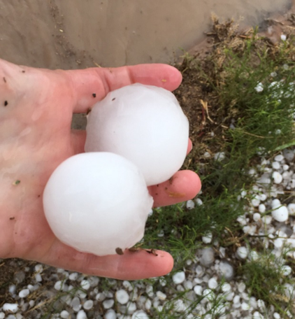
Dexter large hail Jun 2 - photo courtesy of Melanie Keithley |
June 2019 produced mostly below normal precipitation and temperatures. The biggest weather story for June in New Mexico was the storm on the 16th to 18th. Widespread rain, heavy downpours, large hail and high winds all impacted New Mexico.
|
|
July 2019 was relatively quiet as fits and starts of monsoon moisture provided spotty thunderstorm coverage over New Mexico. Showers and thunderstorms produced the greatest coverage of rainfall mainly over the eastern plains while central and western New Mexico experienced more hit or miss activity. The Four Corners region remained very dry throughout the month. Temperatures were hot across much of the area with statewide average temperatures above normal. Roswell reached 100° or higher on 17 days in July 2019, of which 7 days were at or above 105°. Severe weather was very limited in July with only a handful of large hail, high wind, and flash flood events reported.
|
Cuervo Lightning Jul 8 - photo courtesy of Timothy Baca |
|
Albuquerque Aug 7 - photo courtesy of Stu Ostro |
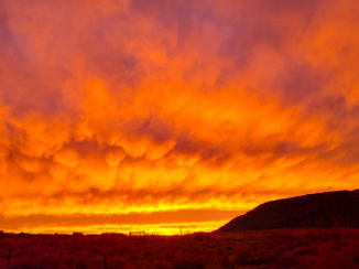
August temperatures were way above normal statewide, by 4.3 degrees. This was the 2nd warmest August on record! Meanwhile precipitation was well below normal, by -0.94 inches. This was the 15th driest August on record.
|
|
September 2019 was very warm and dry for most of New Mexico. Monsoon moisture finally trickled into western New Mexico, resulting in better coverage of showers and thunderstorms compared to the rest of the summer. However, rainfall amounts were not nearly enough to alleviate moderate to severe drought conditions. Periodic showers and storms also moved through the southeast plains with locally heavy rainfall. Temperatures were very warm with statewide average temperatures well above normal. Roswell experienced it’s warmest September on record after having the warmest August on record. High temperatures in Roswell reach 95°+ on 11 days. Severe weather was once again limited to only a handful of hail, high wind, and flash flood events. |
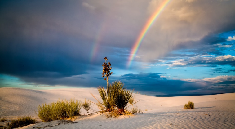
White Sands double rainbow Sep 11 - photo courtesy of Dept of Interior |
|
Albuquerque sunset Oct 1 - photo courtesy of John M. Valdez
|
October 2019 temperatures were cooler than normal, with the northeast especially chilly. Precipitation was mixed with the northwest much drier than normal, the southeast much wetter than normal, while central areas were near normal. The month began with heavy rain across Chaves and Roosevelt Counties on the 1st and 3rd. The 4.83 inches of rain that fell on Roswell in October was the 4th wettest on record! The first snow events occurred later in the month, on the 24th to 25th and 28th to 29th. Both produced minor snow accumulations away from the mountains. The system on the 24th produced accumulations in the Sangre de Cristo Mountains and northeast, while the 28th storm impacted the northwest plateau to the northern mountains. |
|
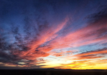
November 2019 was warmer than normal in the west and cooler in the east. Precipitation was above normal across the west and south and below normal in the northeast. It was fairly quiet through the first 19 days of the month, with only one storm bringing rain and snow on the 6th into the 7th. The last 10 days of the month were much more active. There were storms on the 20th, 27th into the 28th, and on the 29th. A widespread snow event on Thanksgiving Day brought record snowfall to many areas of the state, including Albuquerque. November 2019 was the second wettest November on record for Albuquerque. |
Taos sunset Nov 16 - photo courtesy of Jim O'Donnell |
|
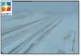
Raton Pass Dec 16 - photo courtesy of NMDOT
|
December 2019 was generally warmer and drier than normal for much of New Mexico. Temperatures and precipitation were close to normal in the west. There were several storms during the month, but most only produced light to moderate snow amounts. The most significant and widespread snow event was the December 27th-28th storm.
|
| (Return to the main page) |


.jpg)

.png)