NWS All NOAA
Albuquerque, NM
Weather Forecast Office
Last Map Update: Mon, Jul 22, 2024 at 9:44:06 am MDT
Submit Storm Report
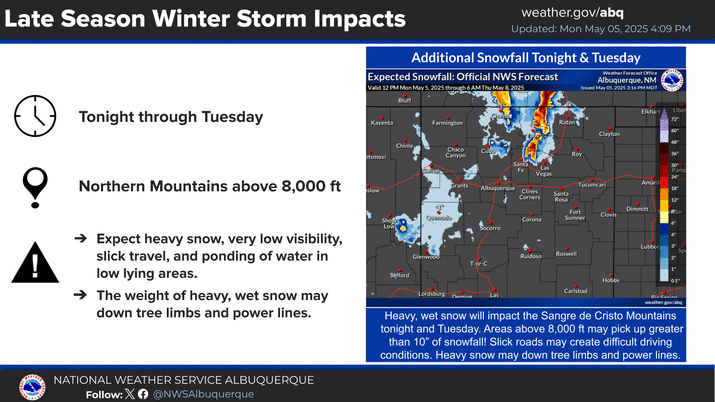
Key Impacts
Local Observations
Office Webcams
Satellite Imagery
Are You Prepared?
Weekly Weather Briefing
Area Forecast Discussion
Fire Weather
Aviation Weather
Snow Probabilities
SKYWARN Spotters
On This Date
Climate Graphs
Drought Monitor
Severe Weather Climatology
Monsoon Awareness
Winter Climatology


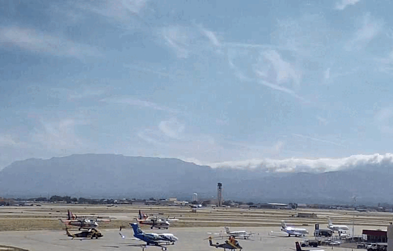 Office Webcam
 Weather Map
 Satellite Imagery