National Weather Service United States Department of Commerce
Click a location below for detailed forecast.

Last Map Update: Mon, Jan 20, 2025 at 6:06:06 am MST

Record low high temperatures will be on tap Monday across northeastern and eastern NM.
Today will be frigid! Bundle up! Bone-chilling temperatures will be felt as another arctic front moves in.
Tonight looks to be the coldest night of the week. Bitterly cold wind chills as low as -30 degrees are expected. Plan ahead for how and when to protect people, pets, pipes and plants from these frigid conditions.
Surges of very cold, arctic air are expected this weekend and into early next week, bringing the coldest temperatures of the season thus far. Everyone is at risk from the dangers of extreme cold, but some are more vulnerable than others. Check on family, friends, and neighbors!
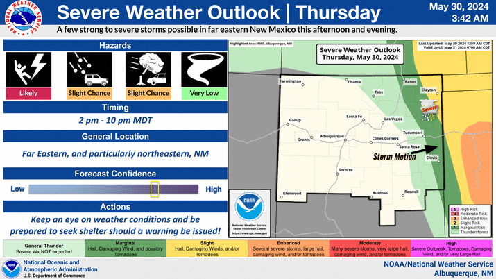
Another quick-hitting storm system will impact the northeast corner of the state late this morning through the evening. Snow and blowing snow behind a front may reduce visibility at times in the northeast corner of the state. Areas along and east of the central mountain chain may see flurries, but accumulations will generally be a dusting or less.


Text Product Selector (Selected product opens in current window)


Submit Storm Report Icon

Submit Storm Report

Key Impacts Icon

Key Impacts

Observations Icon

Local Observations

Webcams Icon

Office Webcams

Satellite Icon

Satellite Imagery

Are You Prepared Icon

Are You Prepared?

Weekly Weather Briefing Icon

Weekly Weather Briefing

Area Forecast Discussion Icon

Area Forecast Discussion

Fire Weather Icon

Fire Weather

Aviation Weather Icon

Aviation Weather

Snow Probabilities Icon

Snow Probabilities

SKYWARN Icon

SKYWARN Spotters

On This Date in Weather History Icon

On This Date

Climate Graphs Icon

Climate Graphs

Drought Monitor Icon

Drought Monitor

Severe Weather Info and Climatology Icon

Severe Weather Climatology

Monsoon Awareness Icon

Monsoon Awareness

Winter Climatology Icon

Winter Climatology