National Weather Service United States Department of Commerce

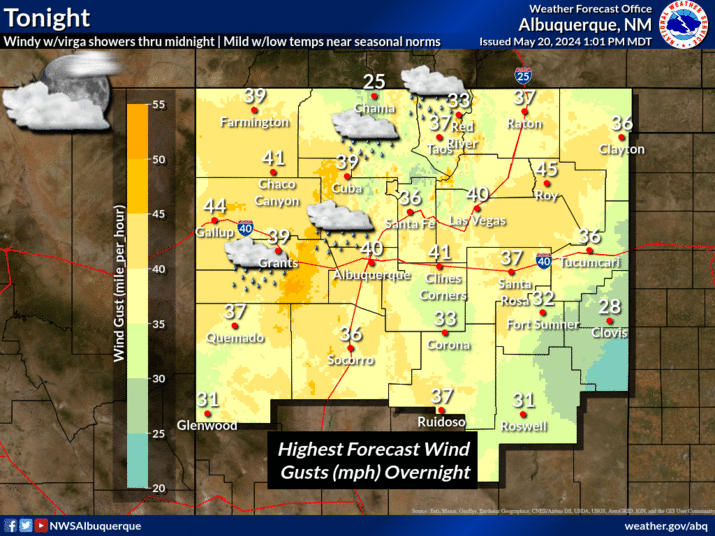
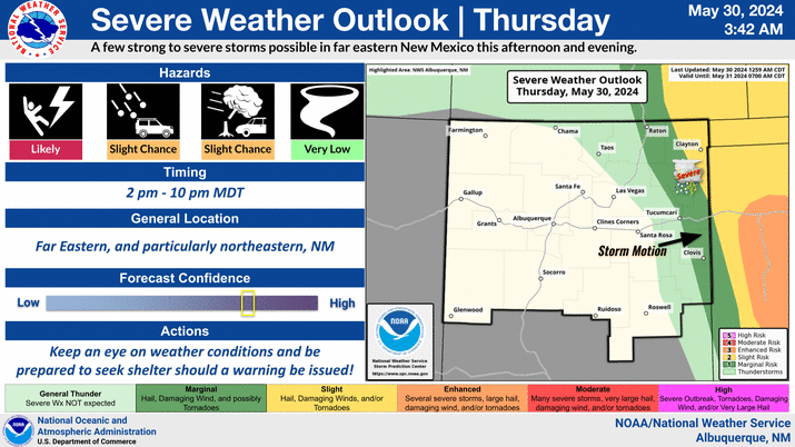
High resolution models depict one or two complexes of showers and thunderstorms tracking south southeastward off the northern mountains and over the Santa Fe and Albuquerque metro areas during the afternoon and early evening.
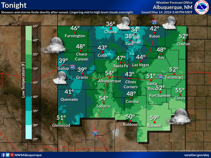
Temperatures much cooler than yesterday across eastern New Mexico. Burn scar flash flooding will be possible, mainly across the northern mountains.
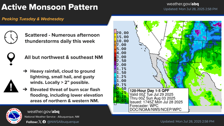
Shower and thunderstorm chances increase Tuesday and especially Wednesday. Burn scar flash flooding is likely. A Flood Watch is already in effect for the Sacramento Mountain burn scars on Tuesday afternoon and evening.
This table indicates the probability for thunderstorms over wildfire burn areas.


Text Product Selector (Selected product opens in current window)


Submit Storm Report Icon

Submit Storm Report

Key Impacts Icon

Key Impacts

Observations Icon

Local Observations

Webcams Icon

Office Webcams

Satellite Icon

Satellite Imagery

Are You Prepared Icon

Are You Prepared?

Weekly Weather Briefing Icon

Weekly Weather Briefing

Area Forecast Discussion Icon

Area Forecast Discussion

Fire Weather Icon

Fire Weather

Aviation Weather Icon

Aviation Weather

Snow Probabilities Icon

Snow Probabilities

SKYWARN Icon

SKYWARN Spotters

On This Date in Weather History Icon

On This Date

Climate Graphs Icon

Climate Graphs

Drought Monitor Icon

Drought Monitor

Severe Weather Info and Climatology Icon

Severe Weather Climatology

Monsoon Awareness Icon

Monsoon Awareness

Winter Climatology Icon

Winter Climatology