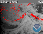
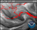
The data is received via a downlink located at the Anchorage Forecast Office. The raw data is then processed, georeferenced, and then distributed throughout the region. The entire process, from when the downlink starts receiving the raw data, until the images are available for download can range from 20 to 40 minutes, depending on the pass coverage and system load.
The GOES images are received every 30 minutes.
An archive of each sector is available, along with a loop consisting of the last 16 images (8 hours).