
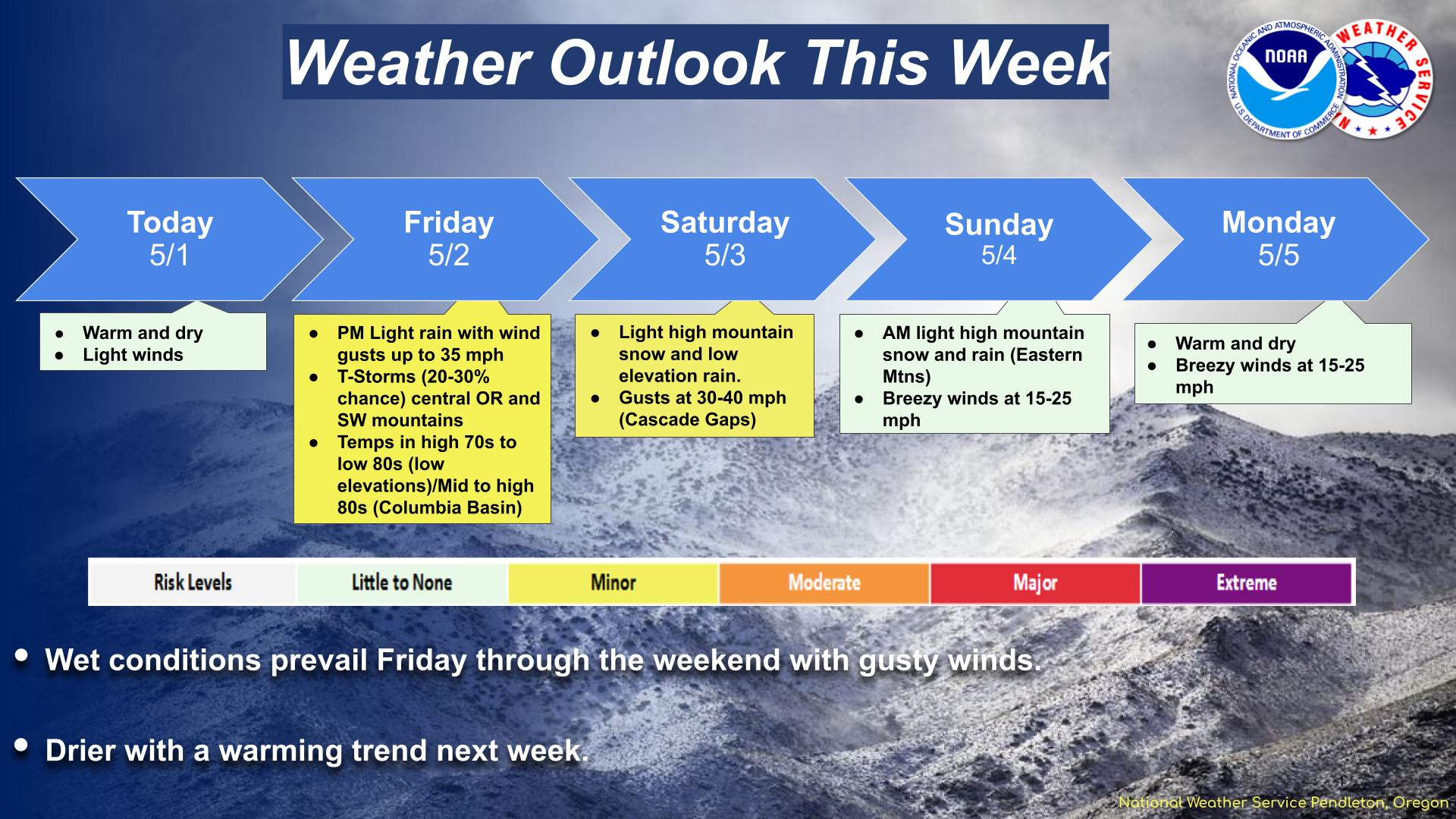
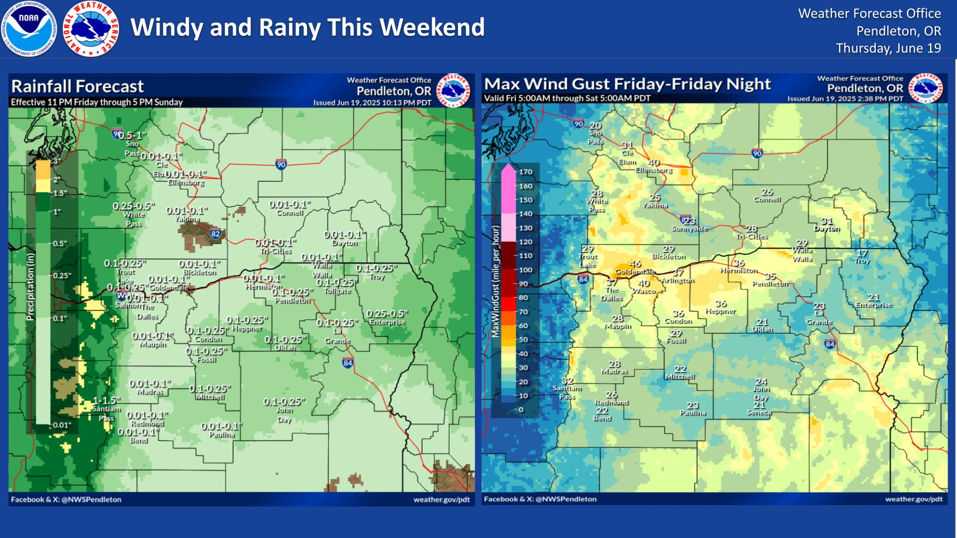
A series of Pacific storm systems will continue to impact the Northwest U.S. into this coming weekend with periods of gusty winds, high surf, low elevation rain, and heavy mountain snow. Severe thunderstorms will be possible on Thursday across central/east Texas into western Louisiana and possibly the ArkLaTex and southeast Oklahoma. Read More >
Last Map Update: Thu, Dec 26, 2024 at 1:56:28 am PST

|
Text Product Selector (Selected product opens in current window)
|
|


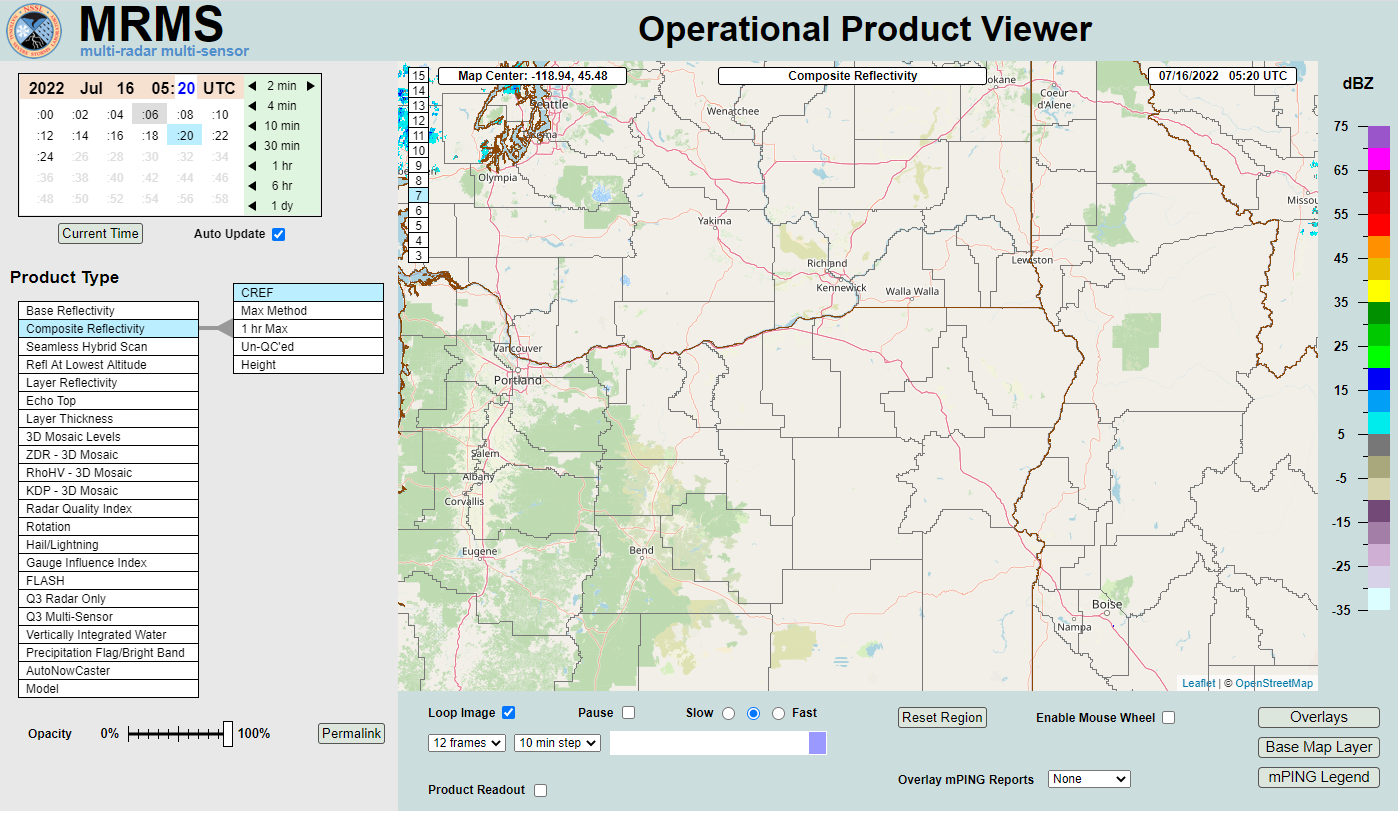 MRMS Radar Imagery
 Radar
Radar Satellite
 Weather Map
 Graphical Forecasts
 Forecast Weather Tables
 Recent Temperatures
 Current Weather
 Drought
 Forecast Discussion
 Forecast Maps
 Hour by Hour Forecast
 Rivers & Lakes
 Fire Weather
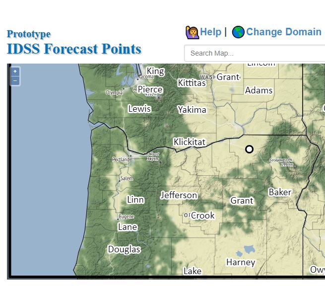 Alternate Point Forecast