
Severe weather and flooding threats will continue for portions of the central U.S. over the next couple of days, with multiple rounds of thunderstorms expected. Dangerous heat will persist across the southern and western U.S. through mid-week. Hot and dry conditions will fuel fire weather concerns for the Intermountain West, where dry thunderstorms may spark additional wildfires. Read More >
Last Map Update: Wed, Jun 24, 2026 at 10:30:18 am CDT


 Austin/San Antonio Radar
 Weather Map
 Satellite Imagery
 Del Rio Radar
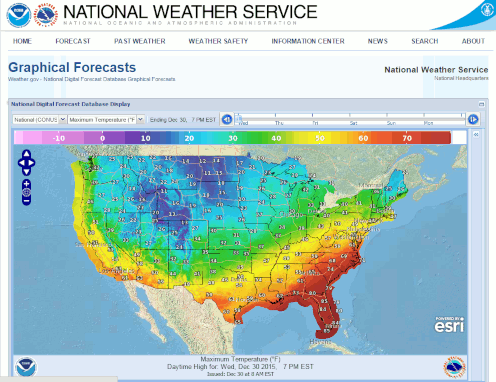 Digital Forecast Map
 Tropical Outlook
 Drought Status
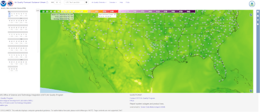 Air Quality
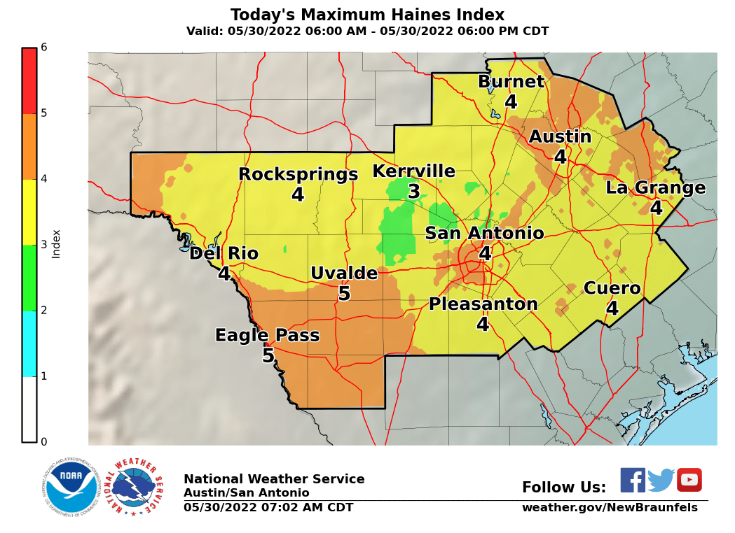 Fire Weather Forecasts
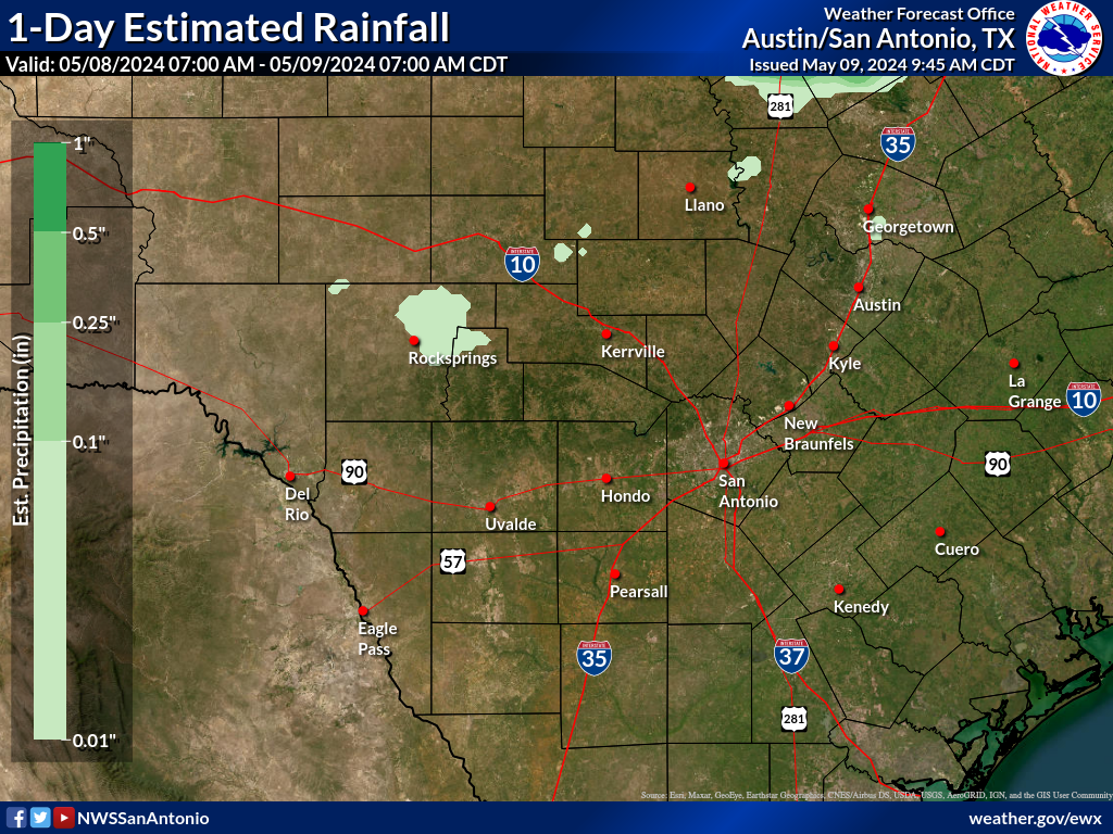 Observed Rainfall
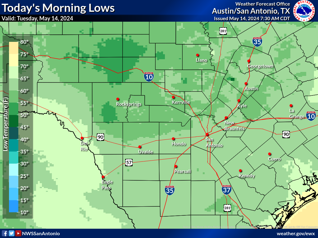 Observed Temperatures
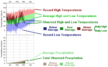 Daily Climate Graphs