
Heavy rainfall and flooding concerns continue for portions of Texas into the lower Mississippi Valley. Severe thunderstorms are expected to redevelop across areas of western Texas later Saturday. Meanwhile, strong Pacific storm will move ashore this weekend. Increasing winds for many areas of the West and Southwest, heavy precipitation with snow for the higher terrain. Read More >
| ZTL Airspace Summary For ATC Planning Purposes Only |
|---|
| Updated:
|
| Terminal Aerodrome Forecasts (TAFs) for ATL/AHN/CSG/MCN | |
|---|---|
REMARKS: ISOLD TS PSBL ALL QUADS THRU 18Z. ATL METAR:
|
AHN METAR:
|
CSG METAR:
|
MCN METAR:
|
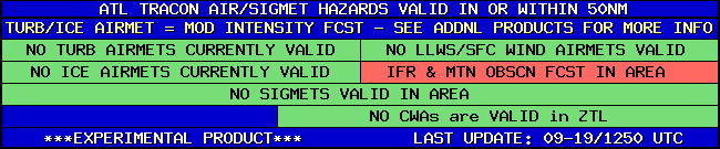
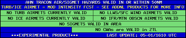
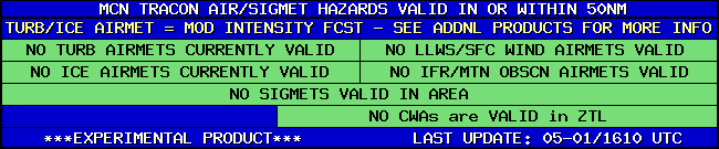
| TRACON Hazards for ATL/AHN/CSG/MCN | |
|---|---|
|
|
|
|
|
|
|
|
|
|
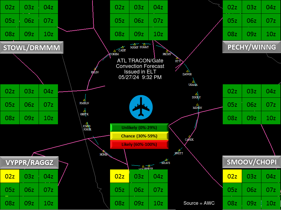
| ATL Convection Gates |
 |
| Forecast Surface Map Loop / Collaborative Convective Forecast Product / Vertical Wind Profile | ||
|---|---|---|
 |
 |
|
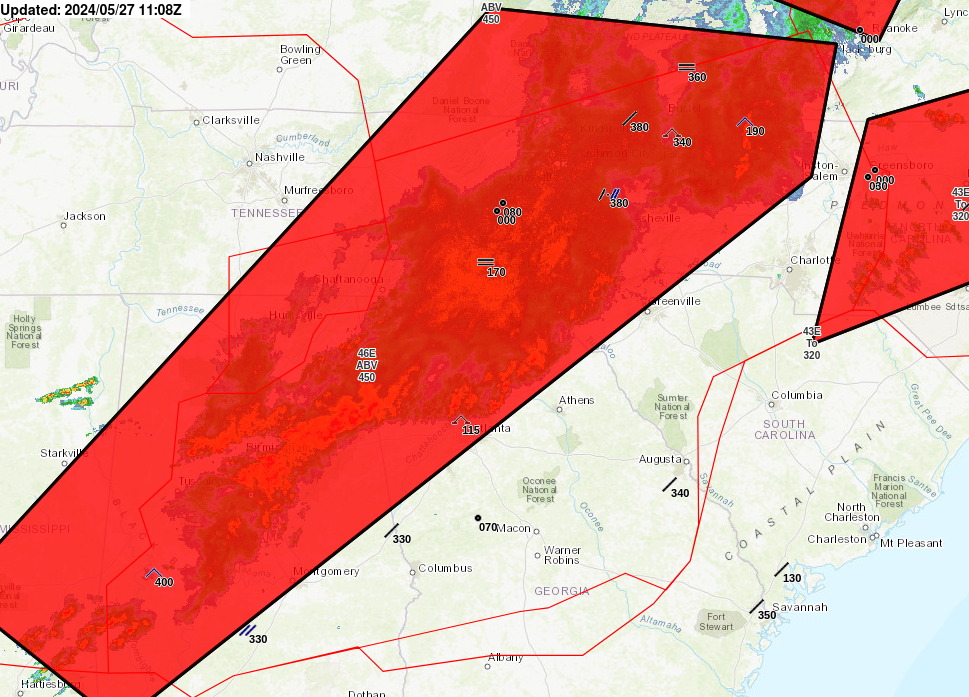
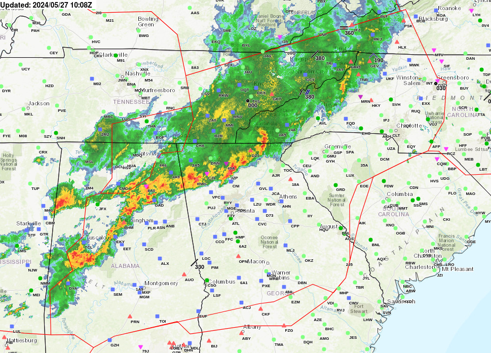
| AIRMETs & SIGMETS/ Southeast Radar loop / Satellite Image (click on image to enlarge) | ||
|---|---|---|
 |
 |
|


