National Weather Service United States Department of Commerce

Significant and High Impact Severe Weather Event is Underway

A powerful spring storm continues across the country with multiple high impacts in the forecast. Life-threatening, catastrophic, and potentially historic flash flood event continues across the Lower Ohio Valley and Mid-South. A couple rounds of significant severe weather expected from the Mid-South through the Ozarks and ArkLaTex with very large hail and strong tornadoes possible. Read More >

Click a location below for detailed forecast.

Last Map Update: Fri, Apr 4, 2025 at 1:04:13 am PDT
There are no watches, warnings, or advisories at this time.

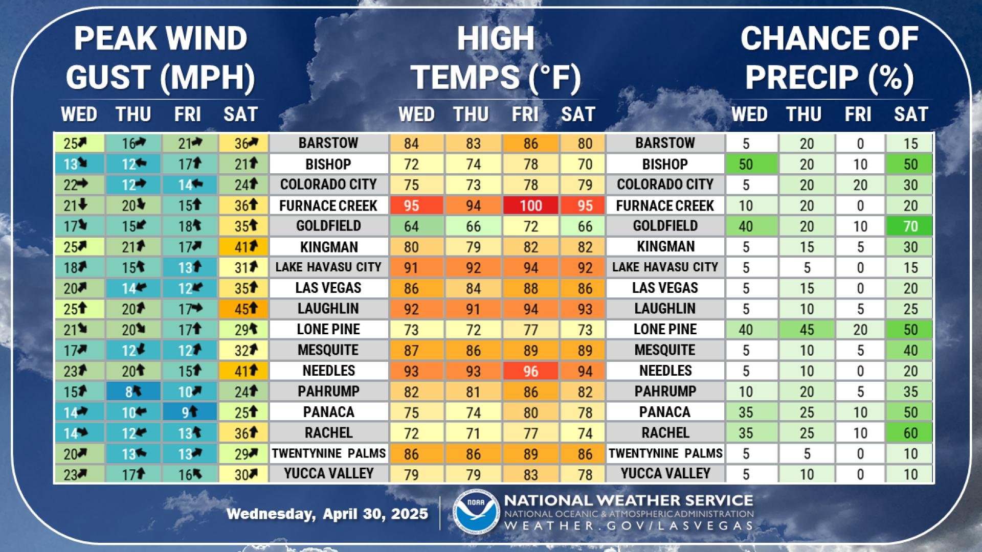
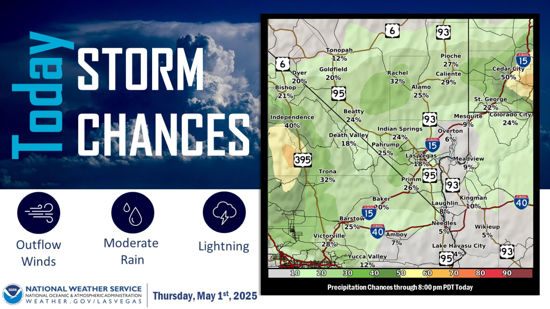
The cold continues today with high temperatures well below normal again this afternoon. Showers today will be more isolated and lighter than yesterday, with light snow possible above 5000ft.
This past March had a little bit of everything with temperatures ranging from 92°F to 39°F. However, when you average it all out, we will end the month with an average temperature 0.3°F cooler than normal. We had two days with measurable rain at the airport and 4 days with Trace precipitation, giving us a grand total of 0.02 inches of rain this month, which is 0.40 inches less than normal.
Brrrr... it's cold outside! Las Vegas's high temperature today was 59°F. Sick of the cold? Not to worry! Temperatures will climb through the rest of the week and into next week, with chances of 90° returning by next Wednesday.