|
|
|---|
|
CLICK HERE TO SUBMIT A SPOT FORECAST REQUEST ***(official use only)***
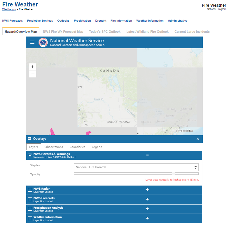
Point Specific Fire Weather |
New Daily Fire Weather Briefing
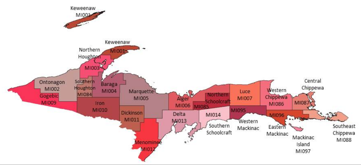
Upper Michigan Fire Weather Annual Operations Plan |
Current NWS Weather Forecast Data & Additional Decision Support Tools:
**Graphics do not all dynamically update, click on the graphics to get the latest information*
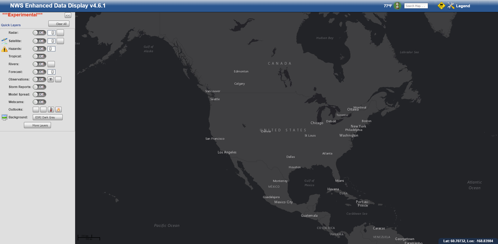
| Planning Forecast | Graphical Forecast | Weather Activity Planner | National Fire Weather | NWS Enhanced Hazardous Weather Outlook | NWS Enhanced Data Display |
 |
|
|
 |
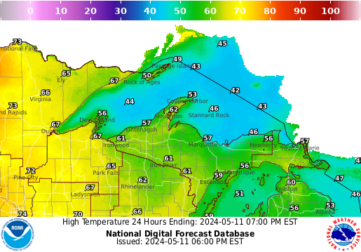
*Day 1 Fire Weather Graphic Shown* |
*Check timestamps prior to use to make sure it's updating* |
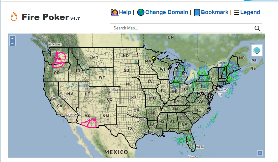
| NWS Duluth Fire Poker | Hot, Dry & Windy Index |
SPC Fire Weather Outlooks |
Temp & Precip Outlooks |
CPC Drought Outlook |
WPC QPF Forecast |
|
*Mobile Friendly*
|
*Today's HDW*
|
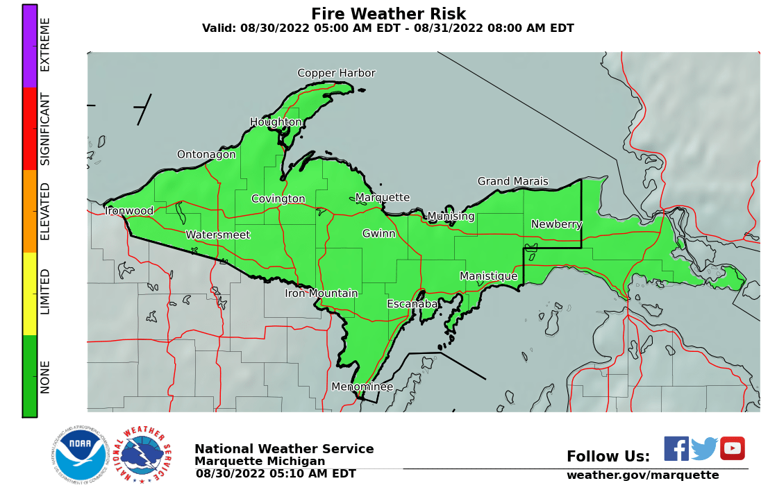
*Today's National Fire Weather Outlook*
|
*8-14 Day Temp Outlook*
|
*Current Drought Outlook*
|
*7-Day Forecast*
|
Current Fire Weather Headlines and Radar/Surface Data:
| Current Fire Weather Statements, Watches, Warnings: | Radar Data |
|
Surface Data & Links to the CFFDRS on MesoWest
NWS Hourly Weather Roundups (MI, WI, MN, Ontario)
|
Upper Michigan
|
|
Great Lakes Sector
|
Current Satellite Data: Goes-East & College of Dupage
| Important GOES-East Channel Definition & Fire Weather Applications: | ||
| Visible: | Infrared (IR): | Water Vapor: |
|
|
|
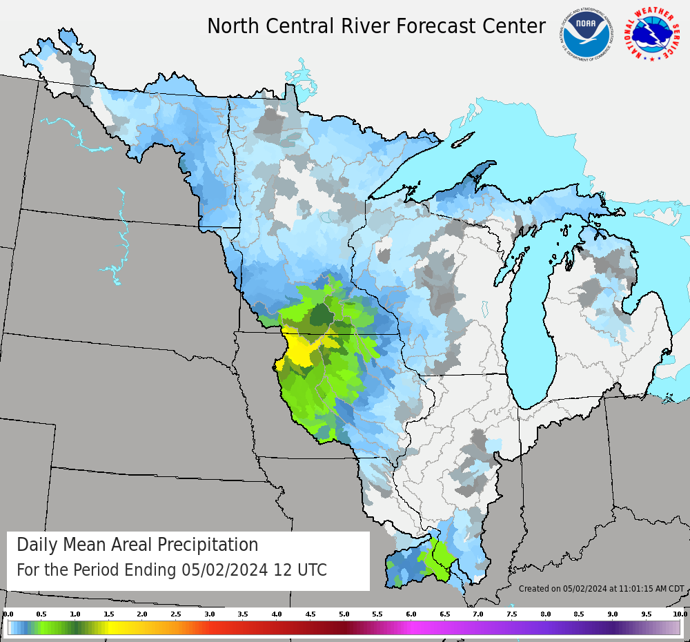
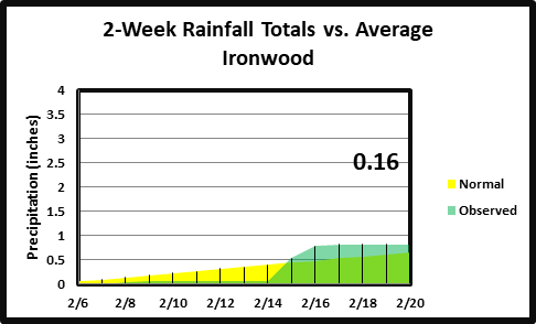
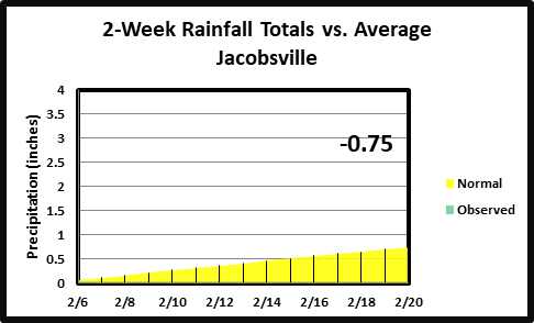
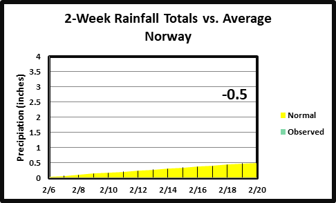
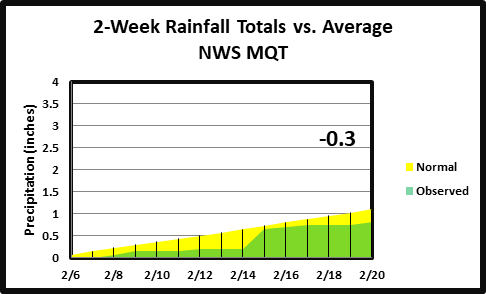
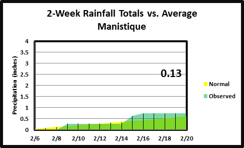
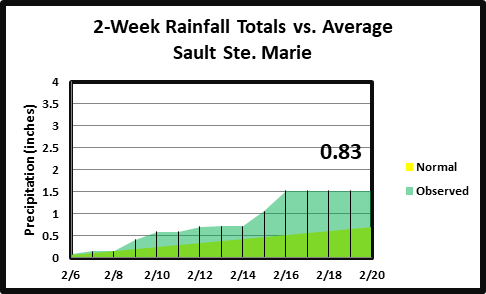
Recent Rainfall Estimates & Observations:
| Precipitation Graphics & Modeled Snow Depth |
2-Week Rainfall Totals v Average (Not Currently Updating Properly) |
|
|
|
Cooperating Agencies Across Michigan's Upper Peninsula:
 |
Michigan Department of Natural Resources (DNR) U.S. Fish & Wildlife - Seney National Wildlife Refuge U.S. Forest Service - Hiawatha & Ottawa U.S. National Parks - Isle Royale & Pictured Rocks Nat'l Lakeshore U.S. Dept. of Interior - Indian Affairs |
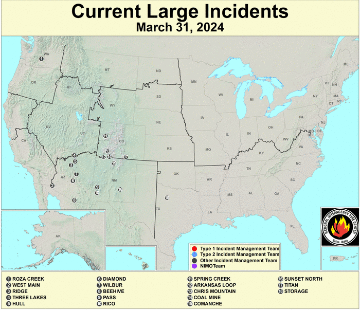 |
National Interagency Fire Center |
Visit our NWS Neighbors: Detroit & Gaylord, Grand Rapids, Green Bay, Duluth
Question or comments? Please email Jon Voss (Fire Weather Program Leader)
or Joseph Phillips, Taylor Prislovsky (Assistant Fire Program Leaders)


 Follow us on YouTube