Current Conditions | Severe Thunderstorms | Precipitation/Hydrology | Tropical Weather
Fire Weather | Rip Currents/Beach | Winter Weather | Outlooks | Tsunamis
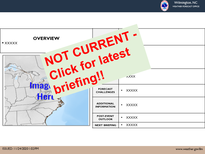
Direct Link to Latest Briefing
IMPORTANT: Be sure to check the date/time of the briefing as some information may be outdated.
NOTE: You can always get the latest forecast information, including our Forecast Discussion, on the Forecast Products page.
|
|
Weather BriefingLatest briefing for southeast NC and northeast SC, with a focus on hazardous weather NOTE: Be sure to check the date/time of briefing as some info may be . |
|
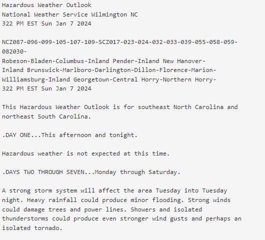
Hazardous Weather OutlookGraphical outlook of potential weather hazards across southeast NC, northeast SC and the adjacent Atlantic waters |
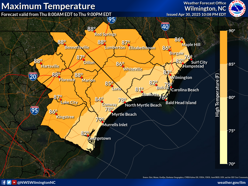 |
Forecast GraphicsLocal enhanced forecast graphics for southeast NC/northeast SC |
 |
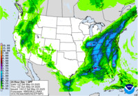
Forecast Weather MapsNational surface weather maps (issued by the Weather Prediction Center) |
|
|
Surface ObservationsSurface weather observations and analyses |
|
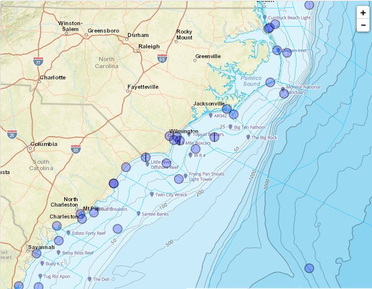
Marine/Coastal ObservationsMarine observations and forecasts, including sea surface temperatures and tides Local Marine Info | National Data Buoy Center | Tides | Water Temps |
|
|
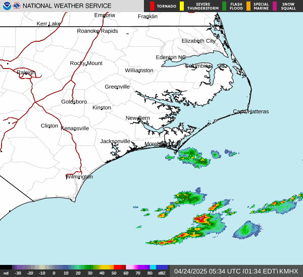
Radar ImageryDoppler radar imagery covering southeast NC and northeast NC |
|
River/Tide LevelsRiver/tide gauge observations (and forecasts) via the NWS National Water Prediction Service (NWPS)
|
 |
Satellite ImageryGOES imagery and more SE U.S. Visible | Loop |
|
|
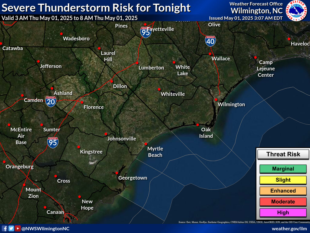
Convective WatchesCurrent Severe Thunderstorm and Tornado Watches (issued by the Storm Prediction Center) |
|
Mesoscale DiscussionsCurrent Mesoscale Discussions (issued by the Storm Prediction Center) |
|
|
Convective OutlooksOutlooks indicating the probability for severe thunderstorms (issued by the Storm Prediction Center) Day 1 | Day 2 | Day 3 | Days 4-8
|
|
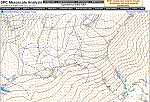
Mesoscale AnalysisHourly automated weather analyses (from the Storm Prediction Center) |
|
|
Storm ReportsPreliminary reports of tornadoes, hail and strong winds (from the Storm Prediction Center) |
|
How To Report Severe Weather To Us
|
|
|
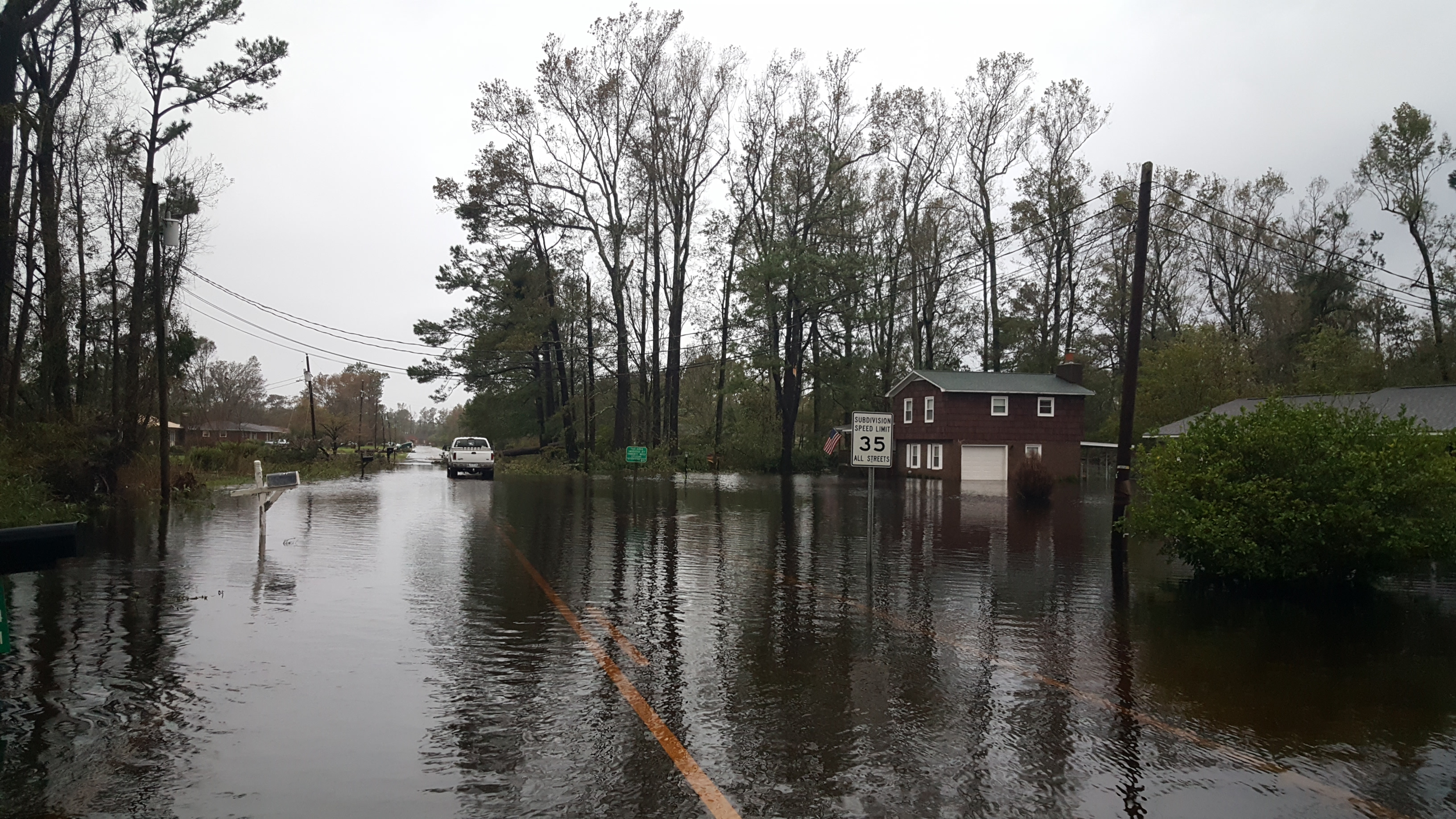
Flood HazardsLocal Flood Watch |
|
Rainfall/Precip. ReportsCoCoRaHS Maps |
|
|
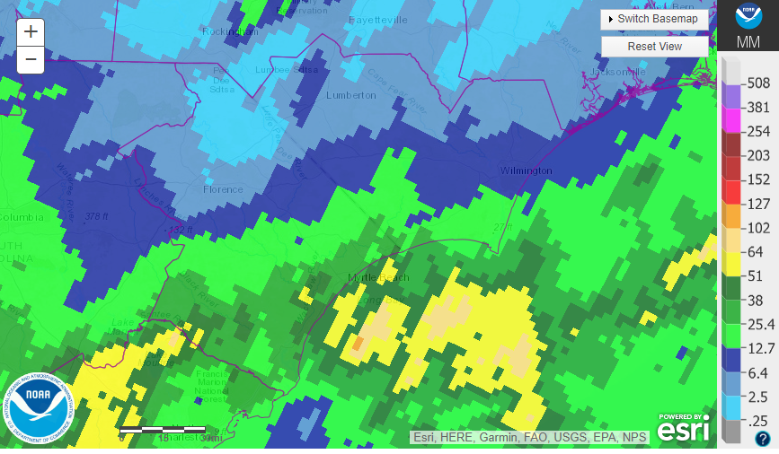
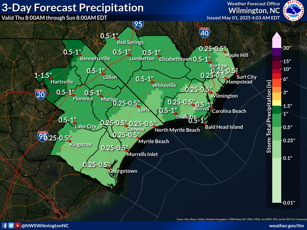
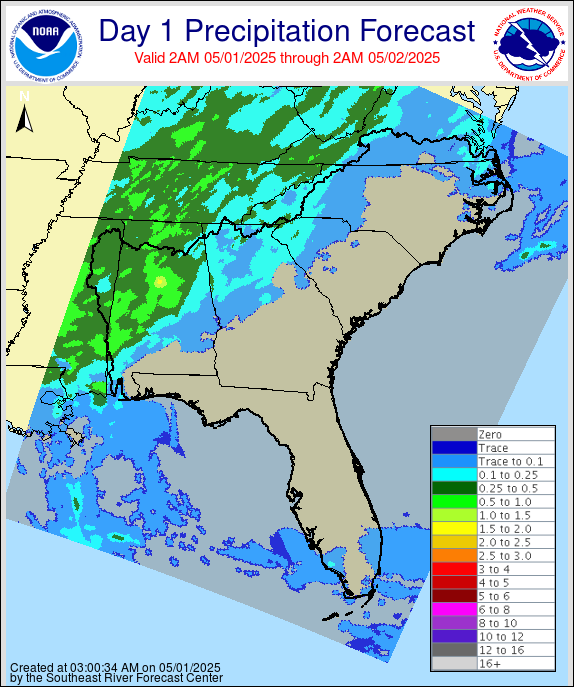
Precipitation ForecastAreal average 3-day precipitation forecast for SE NC/NE SC (issued by NWS Wilmington) |
|
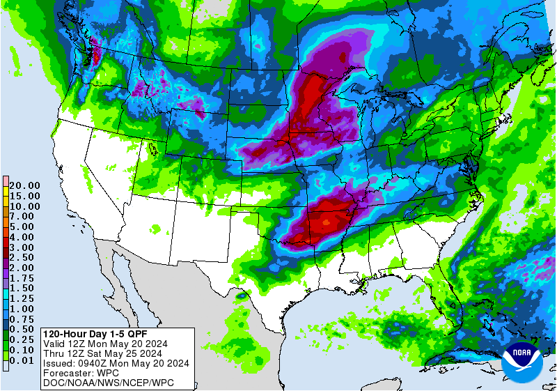
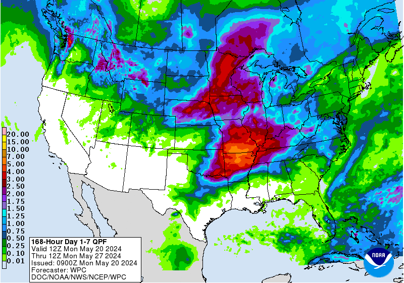
Precipitation ForecastsAreal average precipitation forecasts (issued by the Weather Prediction Center) Day 1 | Day 2 | Day 3 | Days 1-2 | Days 1-3 | Days 4-7 | Days 1-5 | Days 1-7 |
|
|
Excessive Rainfall OutlooksOutlooks highlighting the risk for flash flooding from heavy rainfall (issued by the Weather Prediction Center) |
|
SE U.S. River Forecast CenterObserved/forecast regional precipitation used in river forecasts |
 |
U.S. Drought MonitorA synthesis of multiple indices and impacts that represents a consensus of federal and academic scientists regarding drought conditions |
 |
How To Report Flooding To Us
|
|
|
Tropical Weather OutlookProbability of tropical cyclone formation across the Atlantic Basin over the next 7 days (issued by the National Hurricane Center) |
|
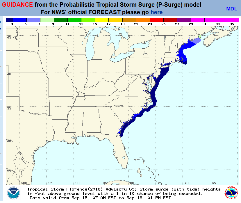
Storm Surge InundationProbabilistic storm surge inundation forecasts (normally only available when a Hurricane Watch/Warning is in effect) |
 |
Global Tropics Hazards OutlookTropical outlook for weeks 2-3 (issued by the Climate Prediction Center) |
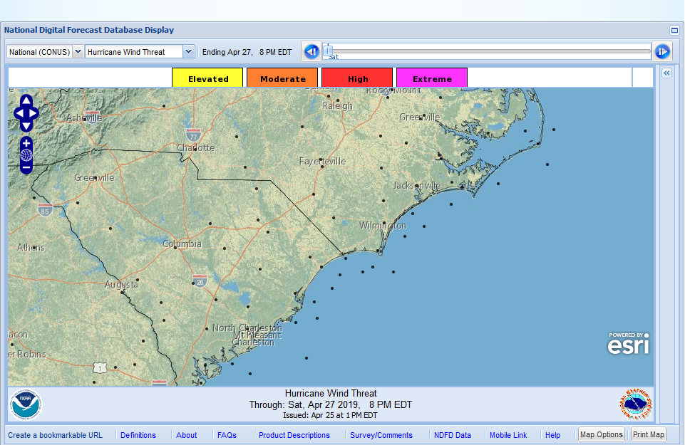 |
Threats/Impacts GraphicsWind, storm surge, rain, and tornado threats and potential impacts to prepare for (incorporating forecast uncertainty) |
|
|
National Fire Weather OutlooksFire weather outlooks for the U.S. (issued by the Storm Prediction Center) |
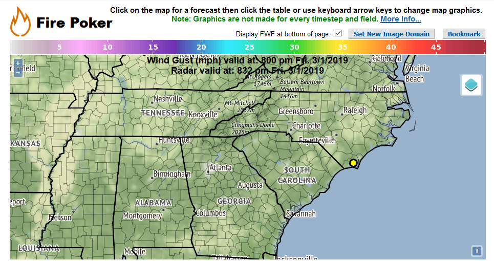 |
Fire Weather Graphics / Tabular DataPoint and click fire weather forecast, graphics and tabular data for your specific location |
|
|
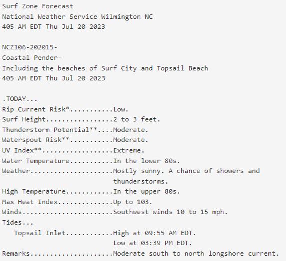
Surf Zone ForecastSRF Text Product |
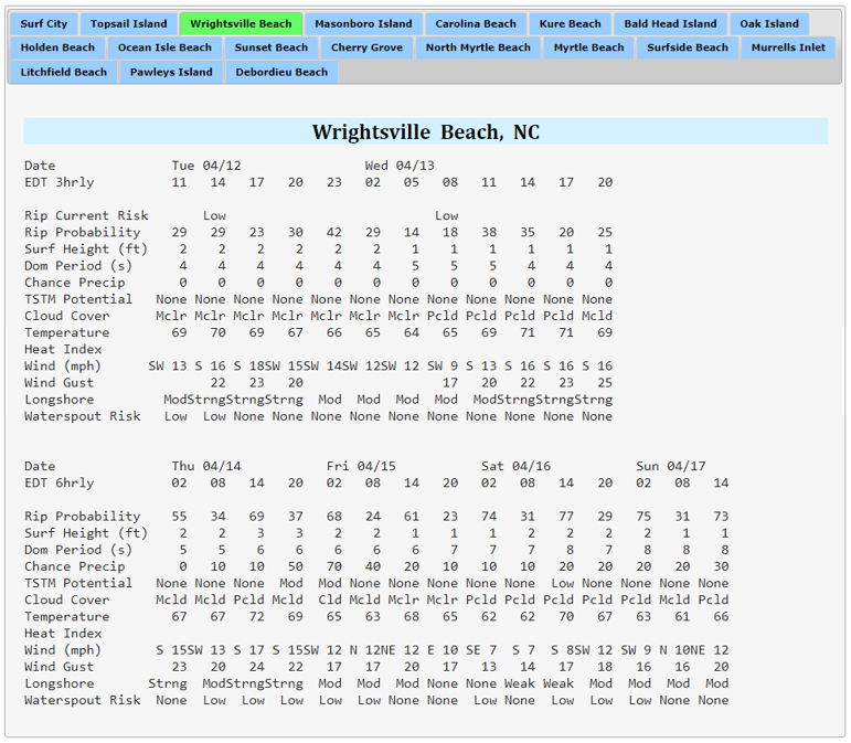 |
Surf Forecast MatricesExperimental 3-6 hourly beach forecasts for the next 6 days |
|
|
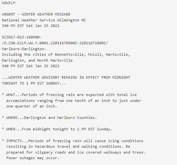
Text ProductsWinter Watches/Warnings/Advisories |
|
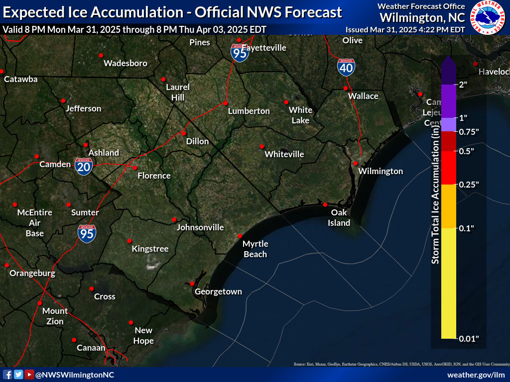
Snow/Ice ForecastsLocal snow/ice amount forecasts |
|
|
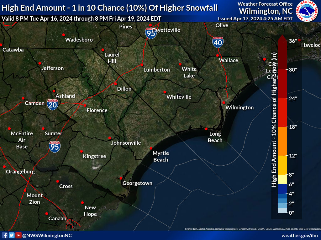
Probabilistic Snowfall ForecastsExperimental local probabilistic snow amount forecasts (reasonable high end amounts and probabilities of certain amounts) |
|
National Impact GraphicsExperimental model-derived winter weather impacts |
|
|
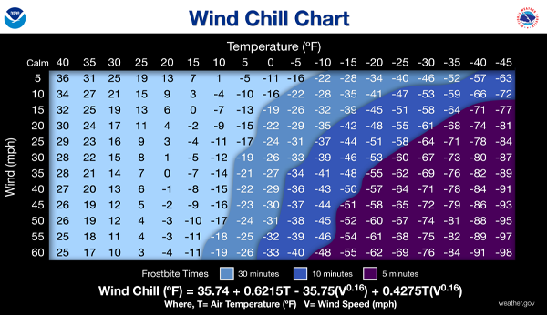
How To Report Winter Weather To Us
|
 |
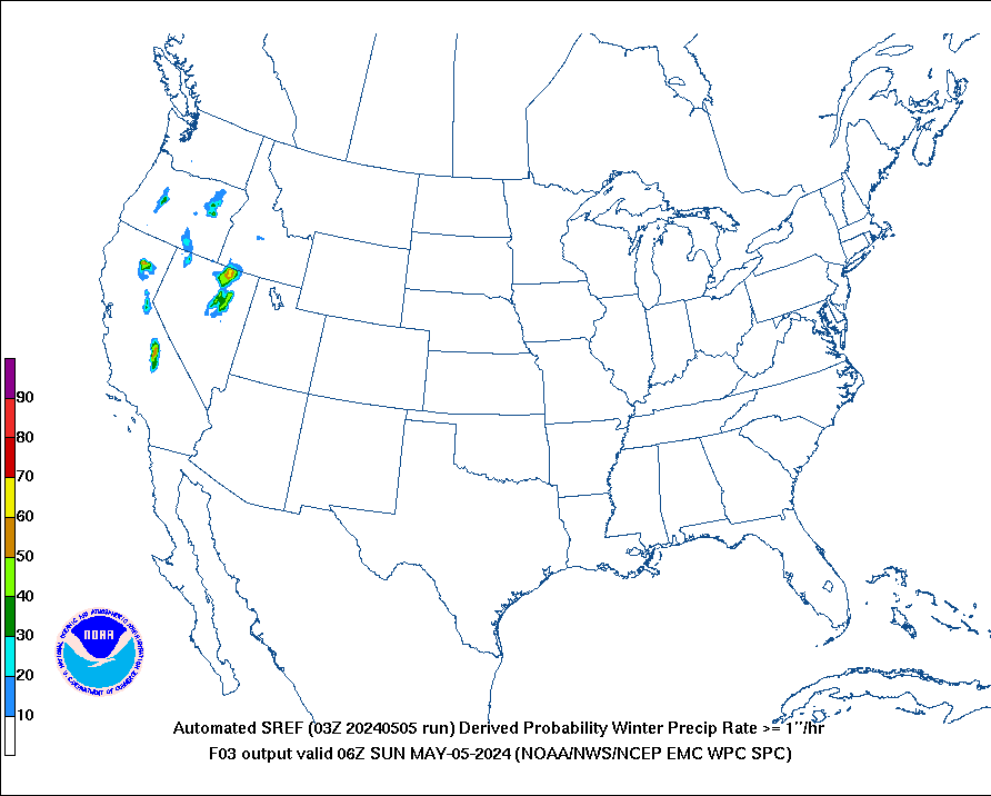
National Snow/Ice Probability GraphicsProbability of specific snow and freezing rain amounts for the next 3 days (from the Weather Prediction Center) |
 |
National Hazards OutlooksDays 3-7 weather hazards outlook (issued by the Weather Prediction Center) NWS CPC Days 8-14 Hazards Outlook
|
 |
Temp/Precip OutlooksTemperature/precipitation outlooks (issued by the Climate Prediction Center) |
|
|
Global Tropics Hazards OutlookTemperature/rainfall/tropical cyclone outlook for weeks 2-3 (issued by the Climate Prediction Center) |
 |
|


 Coastal Flood
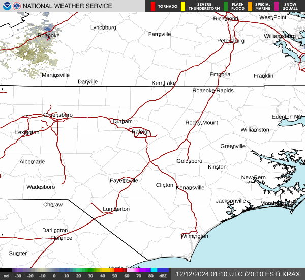