Thank you for visiting a National Oceanic and Atmospheric Administration (NOAA) website. The link you have selected will take you to a non-U.S. Government website for additional information.
NOAA is not responsible for the content of any linked website not operated by NOAA. This link is provided solely for your information and convenience, and does not imply any endorsement by NOAA or the U.S. Department of Commerce of the linked website or any information, products, or services contained therein.
You will be redirected to:
ContinueNew WindowCancel


 250mb Chart at 7am August 31st
 500mb Chart at 7am August 31st
 850mb Chart at 7am August 31st
 250mb Chart at 7pm August 31st


 1pm August 31st
 4pm August 31st
 7pm August 31st
 10pm August 31st
 1am September 1st


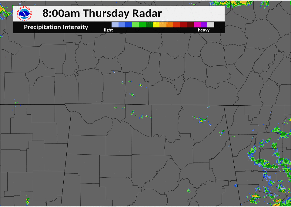
 Local Radar
 Weather Map