We'll see increasing clouds tonight as a cold front approaches from the west. Rain will develop Sunday possibly mixing with snow as colder air flows into the region. Snow showers are possible Sunday night and Monday. Read More >
|
Before you enjoy a day out on the water it is a best to check the forecast. Below are some resources for you to be weather ready along with some safe practices.
For beach information go to: |
 |
Observations
Here is a list of sites where you can find observations:
Radar
Here are a couple options for viewing radar data:
Forecast

|
To get to the Nearshore Forecast (within 5 NM from shore) simply click on the zone that applies to you. We have 7 different offices providing Nearshore Forecasts for Lake Michigan: If you want the Open Lakes Forecast (beyond 5 NM from shore) just click on the blue area and it will take you to the latest forecast. If you are looking for a forecast outside of the Great Lakes you can go to: www.weather.gov/marine |
| Small Craft Advisory | Sustained surface winds or frequent gusts of 22 to 33 knots, and/or waves greater than four feet. |
| Gale Warning | Sustained surface winds or frequent gusts of 34 to 47 knots. |
| Storm Warning | Sustained surface winds or frequent gusts of 48 to 63 knots. |
| Hurricane Force Wind Warning | Sustained surface winds or frequent gusts of 64 knots or greater. |
| Special Marine Warning | Sustained marine thunderstorm winds or gusts of 34 knots or greater; and/or hail 3/4 inch in diameter or greater; and/or waterspouts. |
| Marine Weather Statement | A follow up statement to a Special Marine Warning or to highlight potentially hazardous conditions that are just below the criteria of the Special Marine Warning. |
| Dense Fog Advisory | Widespread or localized fog reducing visibilities to 1 nautical mile or less. |
| Dense Smoke Advisory | Widespread or localized smoke reducing visibilities to 1 nautical mile or less. |
| Low Water Advisory | Water levels are significantly below average and may cause impact to safe marine navigation. |
| Heavy Freezing Spray Warning | Accumulation of freezing water droplets at a rate of 2 cm per hour or greater caused by some combination of cold water, wind, cold air temperature, and vessel movement. |
| Beach Hazard Statement | High waves and strong currents are expected causing dangerous swimming conditions. |
Across the Great Lakes
On this page you can look at a broad picture of information along with point specific information by clicking on the map (location of white circle). To see all of the information just scroll down!
There are 11 forecast offices that provide weather information for the Great Lakes! Check out the map below to see which offices provide nearshore forecasts and special marine warnings and statements for you!

Wave Model
The following links provide wave forecasts from the wave model.
Water Levels
Water levels can have many impacts for communities along the Great Lakes. Low water levels can result limited navigation while high water levels can cause flooding for communities along the lakeshore. Check out the links below to see the current water levels.
Boating Safety
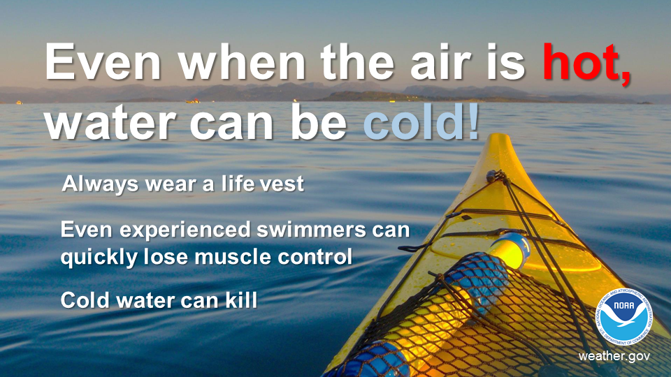
Below are some informational graphics on practicing safe boating with different hazards. For additional resources check out www.weather.gov/safety/safeboating and www.uscgboating.org
 |
 |
 |
 |
 |
 |
 |
 |
 |
 |
 |
.jpg) |
 |
 |
 |
 |
 |
 |
 |
 |
 |