Sioux Falls, SD
Weather Forecast Office
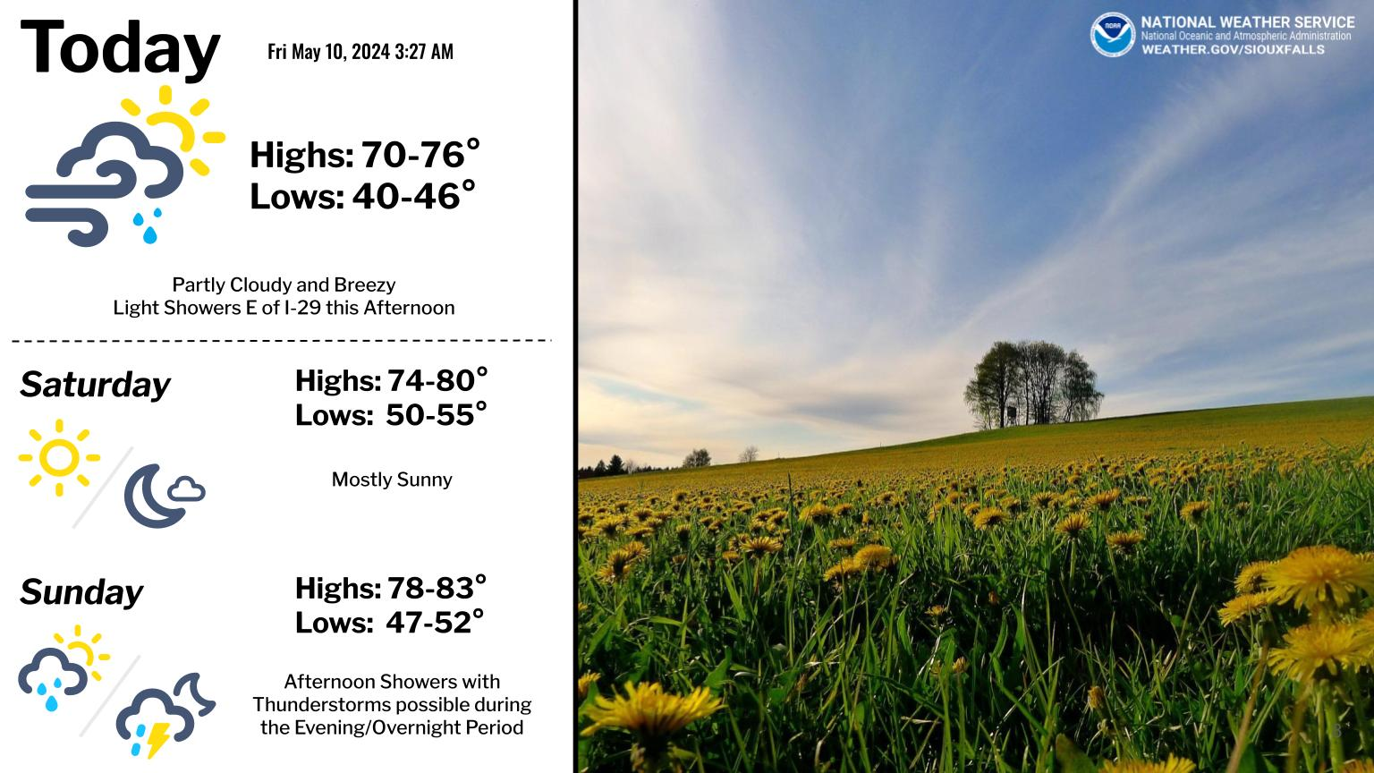
Spring is in full bloom across the region thanks in part to a warm and wet past 30 days. The bad news is that we’re heading into a cooler than normal spell of Spring during the middle of May. How cold you say? Temperatures may average nearly 10 degrees below normal, with the coldest temperatures Friday night. Now that said, frost or even a light freeze is not all that uncommon this time of year. As you can see from the image below, we’re just past our average last 32 degree low temperatures for Spring. However, we’re still in a prime window for chilly low temperatures, with the average last frost date still approaching in many locations.
Those who have planted a bit early this Spring, will want to take those extra precautions and protect any sensitive vegetation. Thankfully, we’re not anticipating extremely cold temperatures or a long duration of sub-freezing temperatures. So plant damage in general should be limited.

Popular Pages
Past Weather Events
Regional Weather Roundup
Daily Temp/Precip
Hazardous Weather
Local Climate Archives
Climate Graphs and Data
Seasonal
EvapoTranspiration
Fire Weather
Grassland Fire Danger
Flooding (River)
Summer Weather
Travel Forecasts
Winter Weather
Winter Preparedness
Forecast Snowfall Graphic
Winter Temp Climatology
US Dept of Commerce
National Oceanic and Atmospheric Administration
National Weather Service
Sioux Falls, SD
26 Weather Lane
Sioux Falls, SD 57104-0198
605-330-4247
Comments? Questions? Please Contact Us.


 Weather Story
 Weather Map
 Local Radar