
Another round of heavy rainfall will renew concerns for additional flash flooding and landslides in southern California around burn scars and coastal mountain ranges. A low pressure system is bringing enhanced snowfall downwind from the lower Great Lakes into the Northeast mountain ranges. Above average temperatures will challenge or break daily record high temperatures across the southern Plains. Read More >
Last Map Update: Sun, Nov 16, 2025 at 10:08:19 pm CST


 Austin/San Antonio Radar
 Weather Map
 Satellite Imagery
 Del Rio Radar
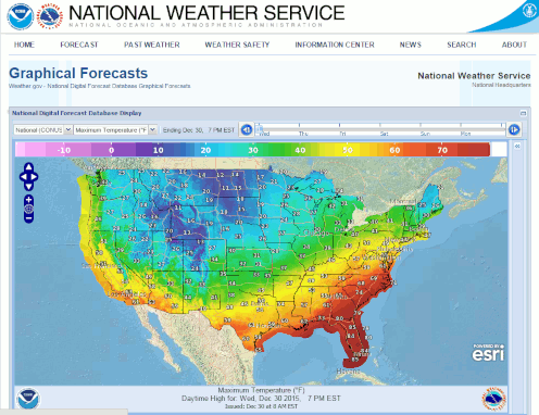 Digital Forecast Map
 Tropical Outlook
 Drought Status
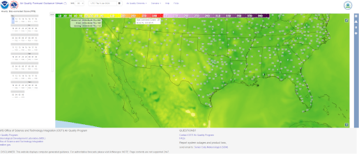 Air Quality
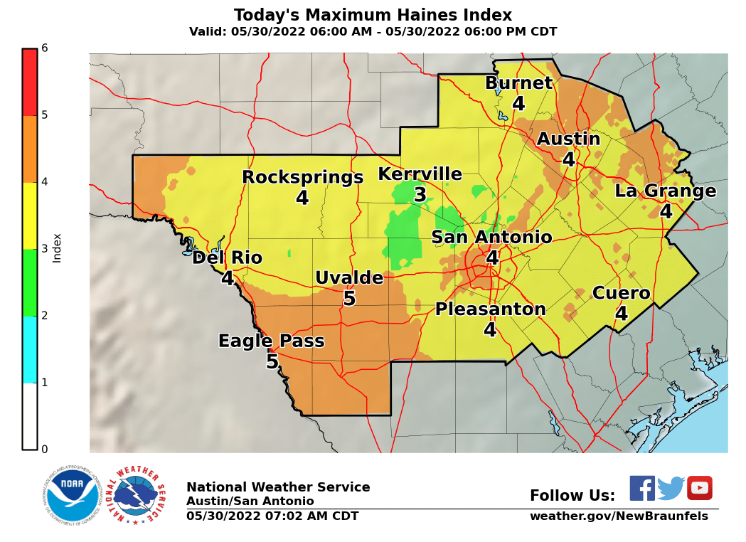 Fire Weather Forecasts
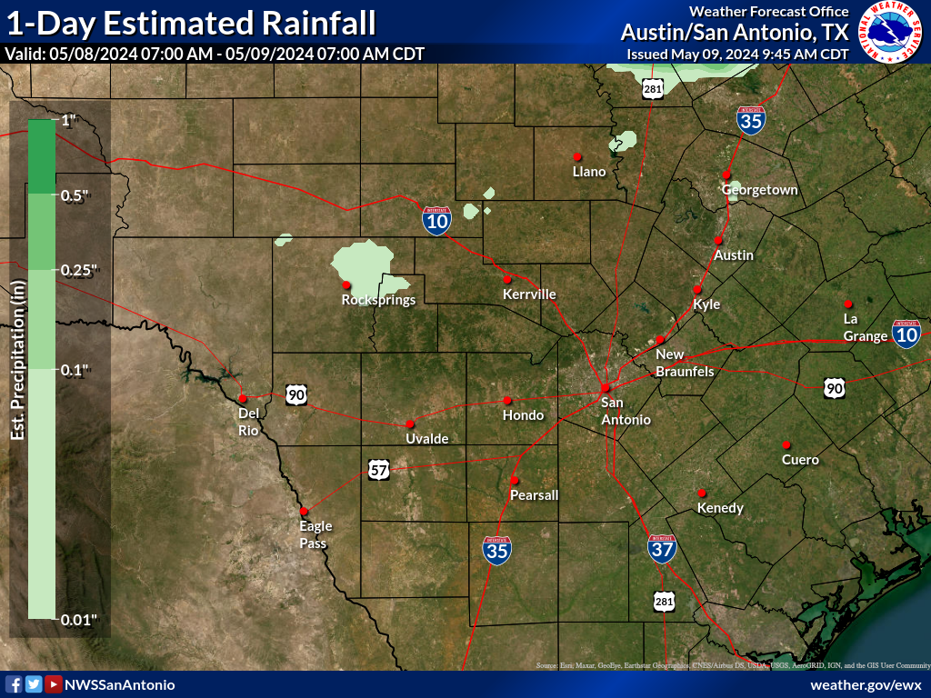 Observed Rainfall
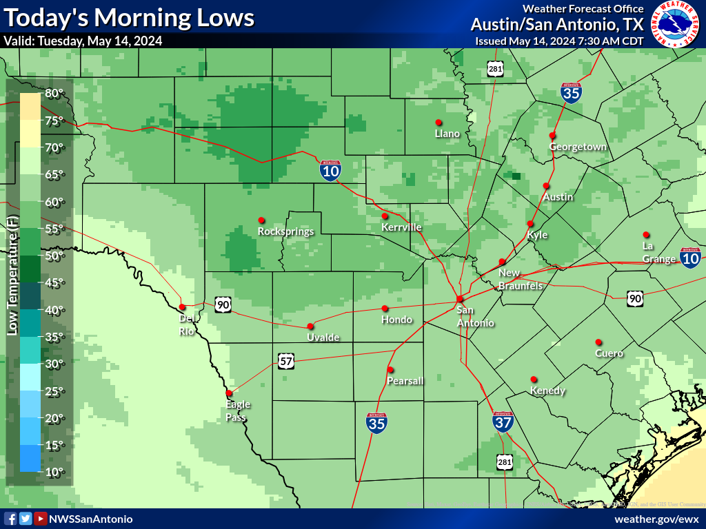 Observed Temperatures
 Daily Climate Graphs