National Weather Service United States Department of Commerce


Current Watches and Warnings

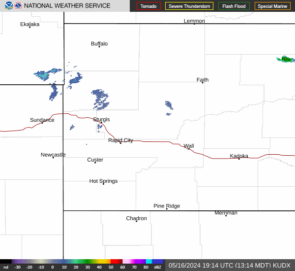
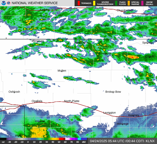
NWS Cheyenne Watches and Warnings

Wyoming Watches and Warnings


Radar, Satellite and Surface Maps


Latest DSS Packet Latest Graphical HWO
 
Latest Weather Story

High Wind Warnings are in effect for Scotts Bluff, Banner and Kimball Counties in the Nebraska Panhandle until 6 AM Tuesday. High Wind Warnings for Arlington, Bordeaux and the I-80 Summit until 6 PM Wednesday. High Wind Warnings for much of southeast Wyoming until 9 PM Tuesday including Cheyenne, Laramie, Wheatland, Torrington and Rawlins. Gusts of 60 to 80 mph will be likely.
How much longer will we be dealing with this wind? Unfortunately we still have a bit to go. The strongest winds are expected to occur now through the evening hours. While Tuesday won't be quite as windy as today, widespread gusts of 50 to 65 MPH are expected once again. The winds will finally begin to ease Wednesday, and come to an end as they shift to northerly or northeasterly on Thursday.
🚫SkyWarn Spotter Training UPDATE: The Lusk, WY Advanced Spotter Training Session has been postponed due to hazardous weather. Refer to future Spotter Training Session locations across southeast Wyoming and western Nebraska or sign up to attend our virtual Spotter Training Sessions! --- 🌪️The 2024 SKYWARN Spotter Training Schedule for Southeast Wyoming and Western Nebraska is out! Check to see if we're coming to a city near you or sign up to attend the virtual spotter training sessions! 🌪️For more information, go to weather.gov/cys/skywarn