Good morning!
*Shortwave passes through, bringing a chance of light snowfall across the Downeast region this morning. Up to 1-2 inches of accumulation expected. Could cause some slick travel for the morning commute. Drive slow and allow for extra time to get where you need to be.
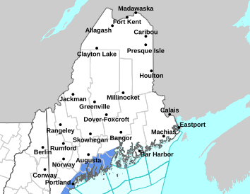
*Next low pressure system approaches this afternoon, bringing another round of precipitation. Generally begins as snow inland, but switches to rain in areas south of Houlton and Greenville. Chance for a narrow corridor of freezing rain in the Central Highlands late this evening, with ice amounts measuring to a trace to 0.01 inch. Snow persists in the north throughout the afternoon into evening. Potential for 5-8 inches of accumulating snowfall to fall. Current uncertainty lies in where exactly the rain/snow line will set up, so forecasted accumulations may vary depending on the track of this system.
*Small Craft Advisory over the waters beginning early this morning, and a Gale Warning out for later this afternoon. Seas as high as 10 ft over the outer waters tonight.
*Gusty winds expected Thursday and Friday.
For more information, please visit weather.gov/car
This general weather briefing slide is updated daily in the early AM hours before 7am (slide update time at bottom right of slide). It may not be updated as conditions change.For high-impact events, more detailed information will be provided via traditional decision support services.
This is the home page for emergency managers to do a self briefing. For information on a particular hazard, just click on the appropriate orange link above.


 Coastal Flood