Severe Thunderstorms from the Midwest to Mid-Atlantic Tonight; The Heat Continues in the Southern and Eastern U.S.
Strong to severe thunderstorms capable of producing large to very large hail, damaging wind gusts and a few strong tornadoes are likely from the Midwest to the Mid-Atlantic tonight. Moderate Risk (level 4 of 5) of severe thunderstorms is outlooked for the Midwest. A widespread heat wave will peak in the South and East on Friday, with many temperature records expected to be broken.
Read More >
There are no watches, warnings, or advisories at this time.
Practice Heat Safety!
Today
Weekly Outlook
As summer temperatures rise, taking precautions against heat-related illness is essential. Key safety recommendations include limiting strenuous outdoor activities during peak heat, drinking plenty of water, wearing light clothing and sunscreen, and shifting necessary outdoor work to the early morning or late evening hours.
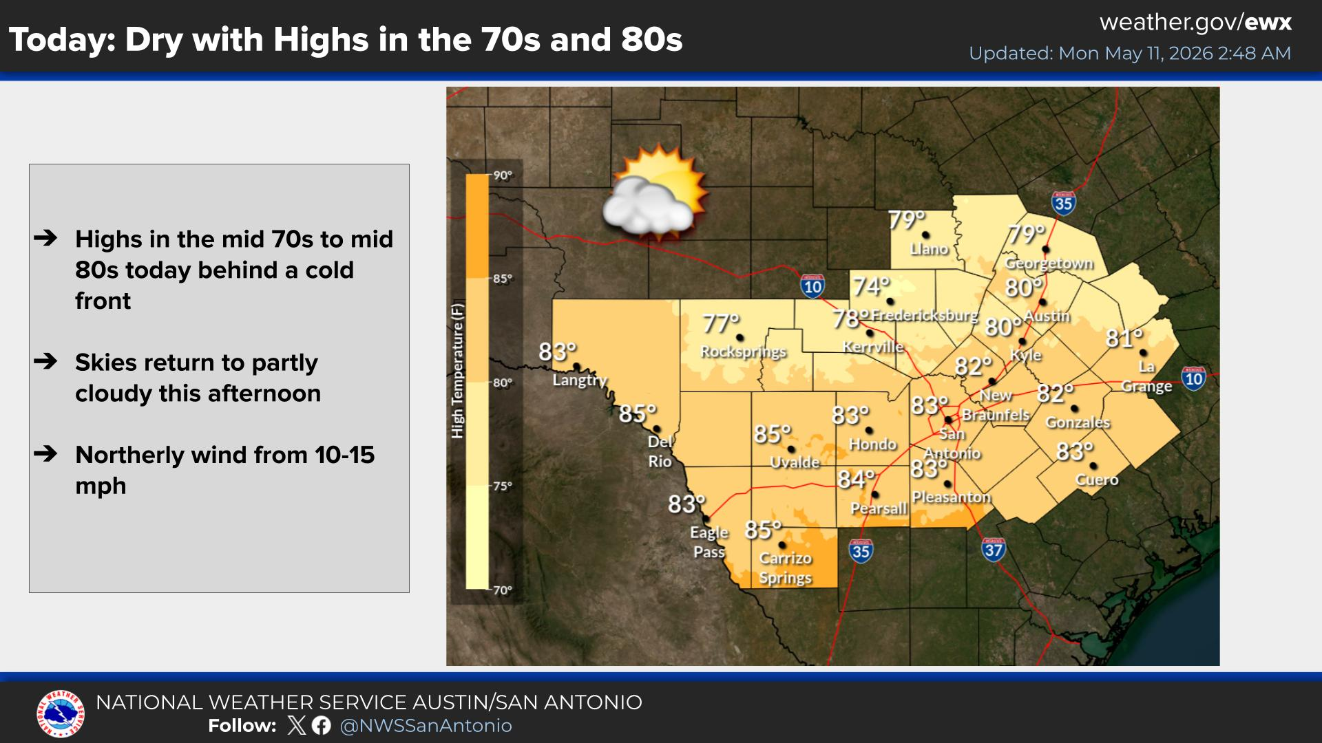
Skies will be partly cloudy today. The Seabreeze will bring isolated showers and thunderstorms from the Coastal Plains to the I-35/I-37 Corridors during the afternoon. High temperatures will be near normal in the upper 80s to upper 90s.
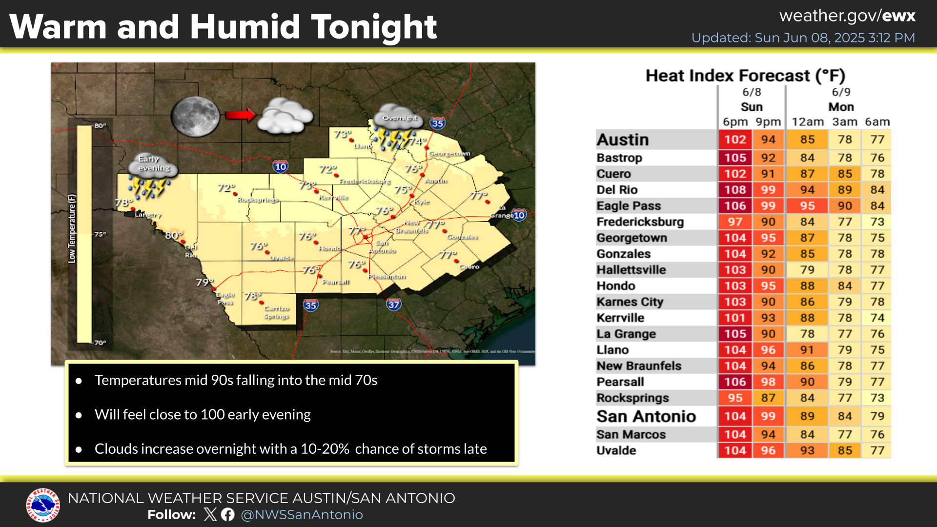
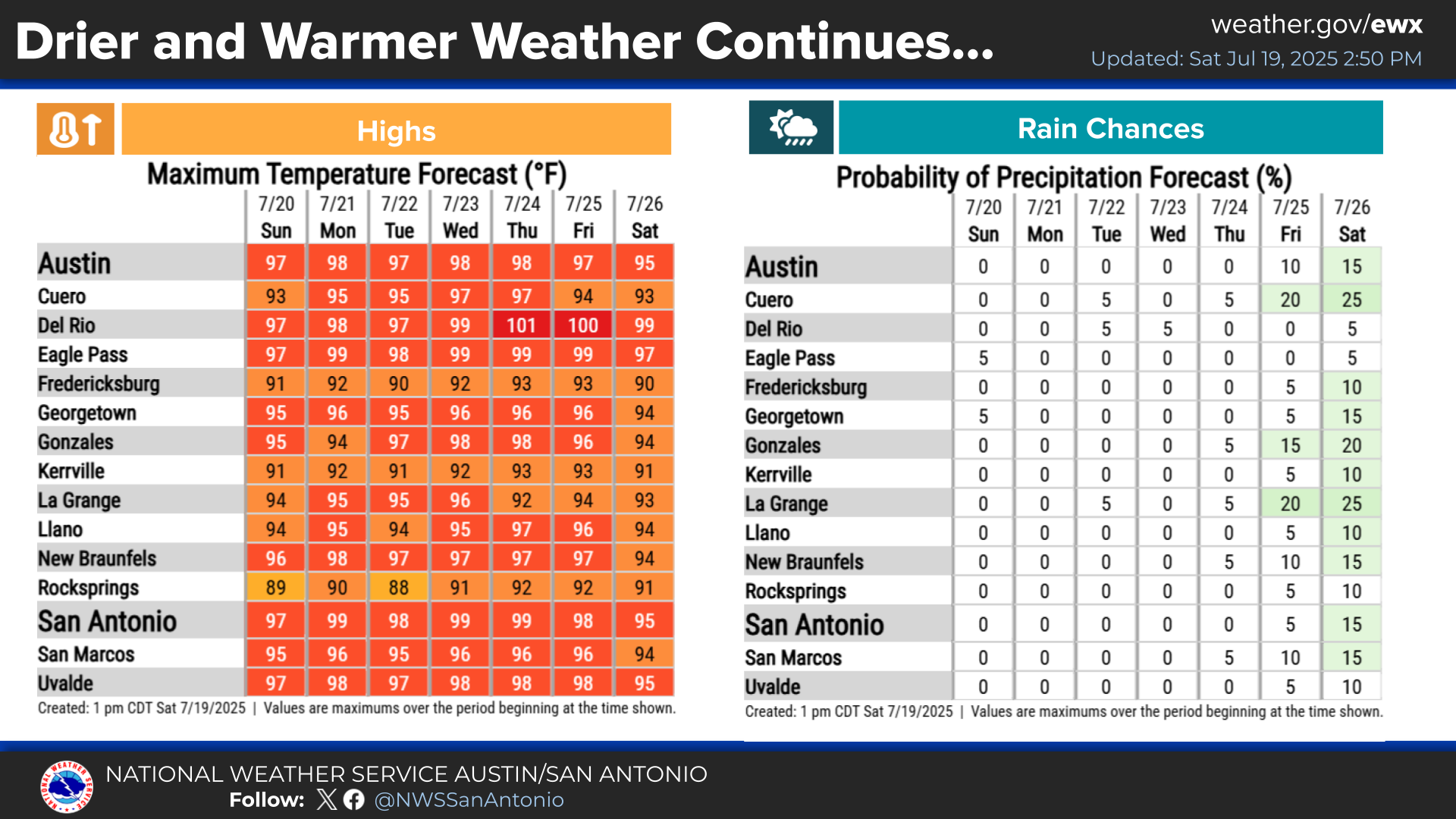
Early summer heat will steadily build and continue this week, staying in the 90s for most areas to near 100 along the Rio Grande. Humid conditions will make the daytime heat feel hotter. Practice heat safety! It will be mostly dry through Saturday. Medium chances for rain return early next week, especially Monday and Tuesday.


 Austin/San Antonio Radar
 Weather Map
 Satellite Imagery
 Del Rio Radar
 Digital Forecast Map
 Tropical Outlook
 Drought Status
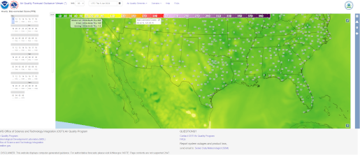 Air Quality
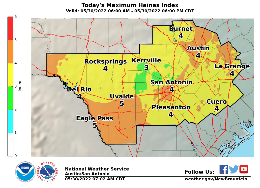 Fire Weather Forecasts
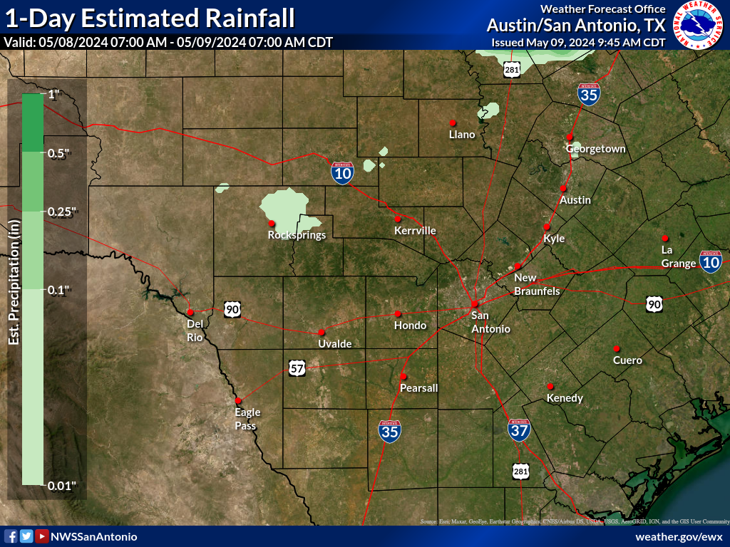 Observed Rainfall
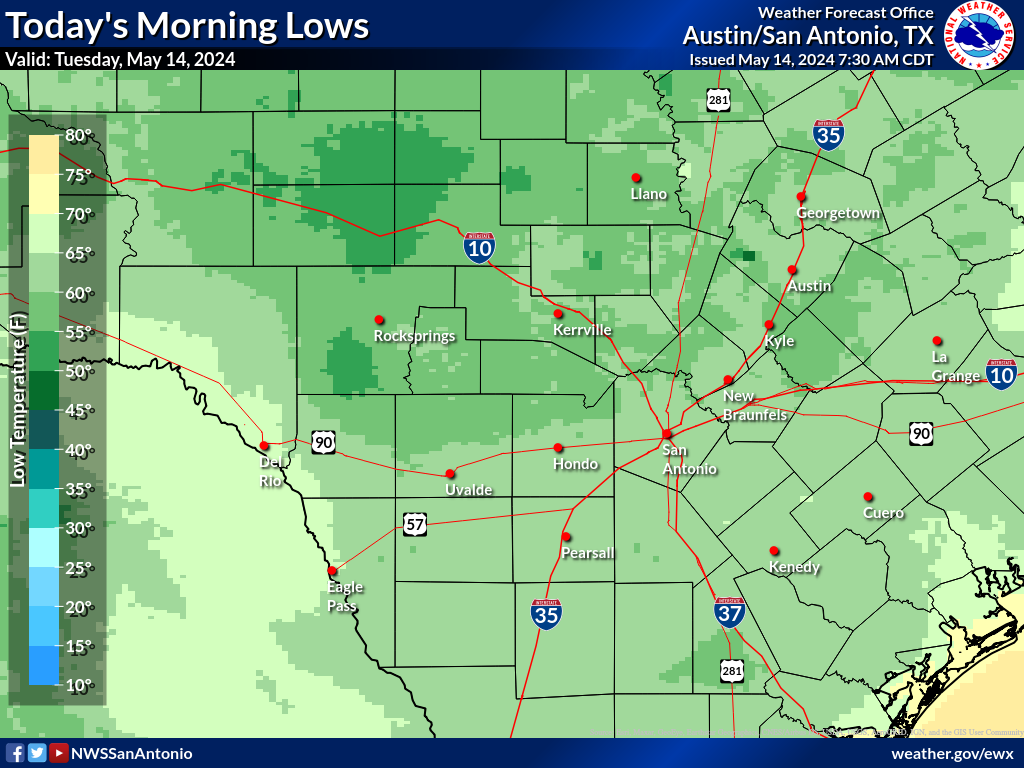 Observed Temperatures
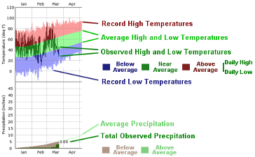 Daily Climate Graphs