
A Nor'easter will bring significant coastal impacts to the Mid-Atlantic and New England through the weekend. Moderate to major coastal flooding, heavy rain, strong winds and high surf expected. Hurricane Nolo is expected to stay just south of the Big Island of Hawaii. However, strong winds and heavy rainfall may bring life-threatening, catastrophic flooding and mudslides through the weekend. Read More >
Last Map Update: Sat, Sep 26, 2026 at 2:48:18 am PDT
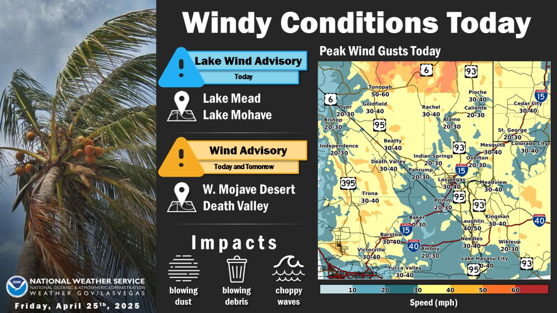





 Graphical Forecast
 Satellite
 Las Vegas Radar
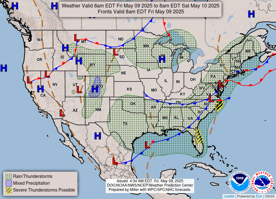 Current Weather Map
 Climate
 Recreation Forecasts
 Harry Reid Forecast
 Weather Stats
 Follow us on X
 Follow us on Facebook
 Follow us on YouTube
 VEF RSS Feed