
Severe thunderstorms are forecast through this weekend along a slow moving cold front and secondary storm system that will impact areas from the southern Plains to the Great Lakes. Large hail and isolated damaging wind gusts are the main threats with these storms along with a risk for heavy to excessive rainfall which could bring flooding. Read More >
Cleveland CWSU
Center Weather Service Unit
|
|
|
|
|
|
|
6 HR Forecast Surface Map |
12 HR Forecast Surface Map |
|
18 HR Forecast Surface Map |
24 HR Forecast Surface Map |
|
Day 2 Forecast Surface Map |
Day 3 Forecast Surface Map |
MFDDefault Runway is NONE |
 |
Click on images to get the full size graphic
|
| Turbulence | |||
 |
 |
 |
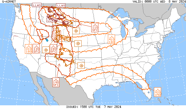 |
| Turbulence Current | Turbulence +3hr | Turbulence +6hr | Turbulence +9hr |
| Icing | |||
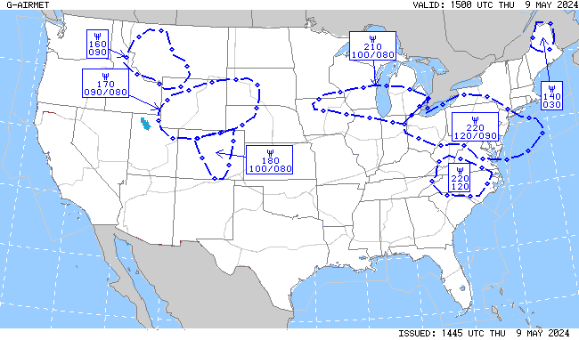 |
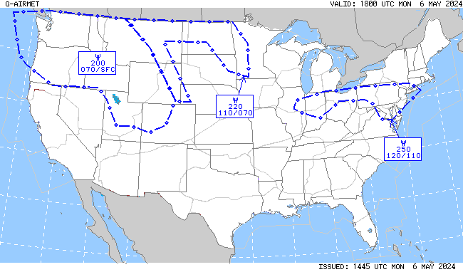 |
 |
 |
| Icing Current | Icing +3hr | Icing +6hr | Icing +9hr |
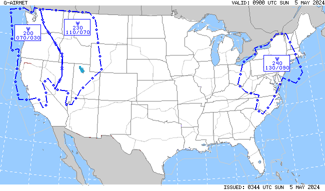
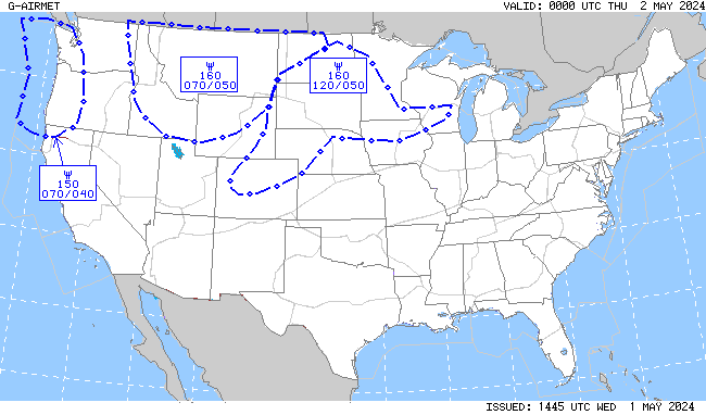
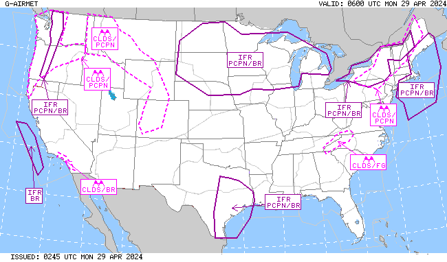
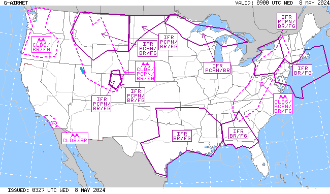
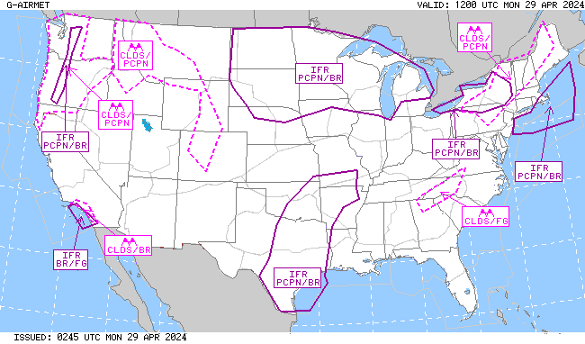
| IFR/MTN OBSC (Mountain Obscuration) | |||
 |
 |
 |
 |
| IFR/MTN OBSC Current | IFR/MTN OSBC +3hr | IFR/MTN OBSC +6hr | IFR/MTN OBSC +9hr |
|
|
|
|
|
|
|
 |
Return to CWSU ZOB homepage here.
US Dept of Commerce
National Oceanic and Atmospheric Administration
National Weather Service
Cleveland CWSU
Cleveland ARTCC Attn:CWSU
326 East Lorain Street
Oberlin, OH 44074
Comments? Questions? Please Contact Us.


