National Weather Service United States Department of Commerce

Powerful Winter Storm from the Upper Midwest into the Northeast; Severe Thunderstorms in the Midwest and Ohio Valley

A rapidly-intensifying storm is expected to bring heavy snow, blizzard conditions, and icing from the Upper Midwest through the Great Lakes and Northeast. Scattered severe thunderstorms may produce severe/damaging wind gusts and a couple of tornadoes across parts of the Midwest and lower Ohio Valley through the evening. Arctic air will expand across the central and southern U.S.. Read More >

ZOB Briefing Sheet
NWS Latest Surface Analysis
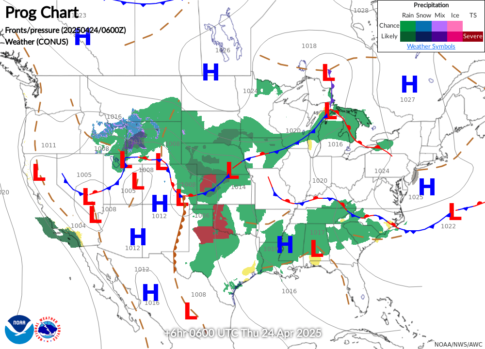
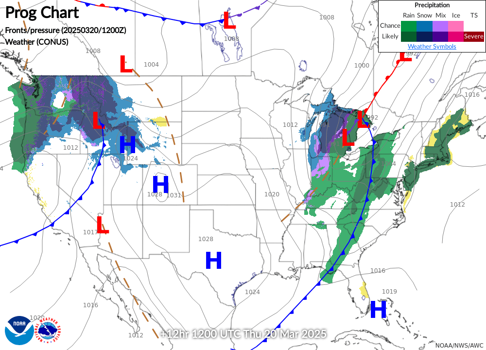
NWS 12-HOUR Surface Forecast
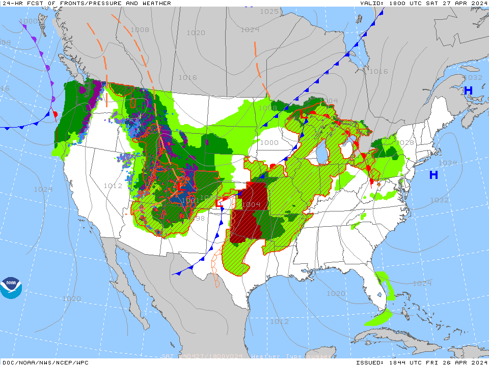
NWS 24-HOUR Surface Forecast
Latest Visible Satellite
Latest Infrared Satellite
Latest Geo+GLM
GEO
Regional Radar Mosaic
PIREPs - Turbulence - 00hr w/GTG
Current Turbulence SIGMETs
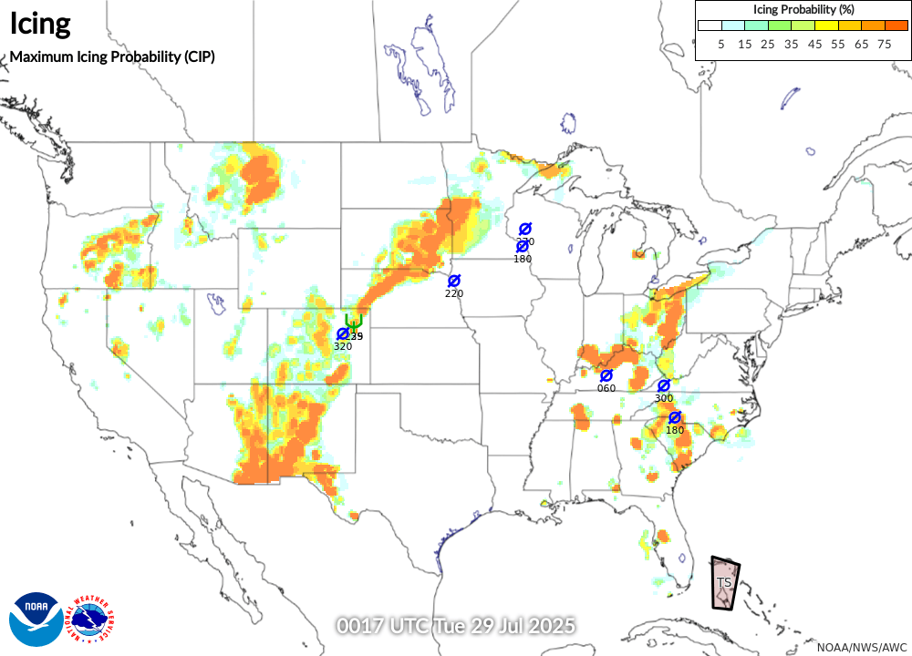
PIREPs - Icing - 00hr w/CIP (last 2 hours)
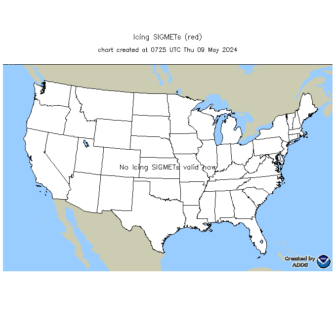
Current Icing SIGMETs
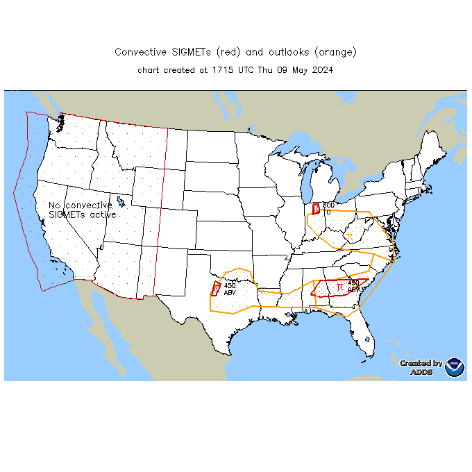
Current Convective SIGMETs
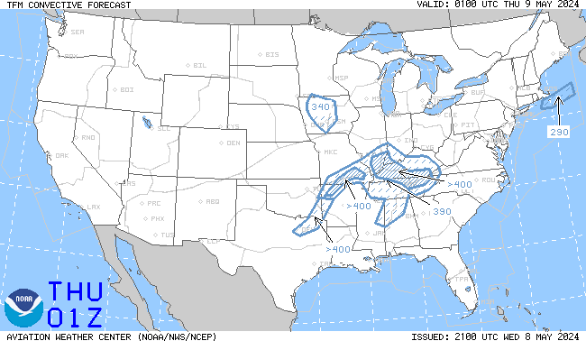
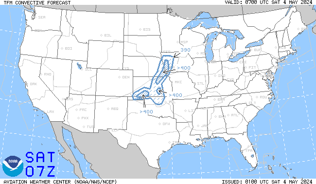
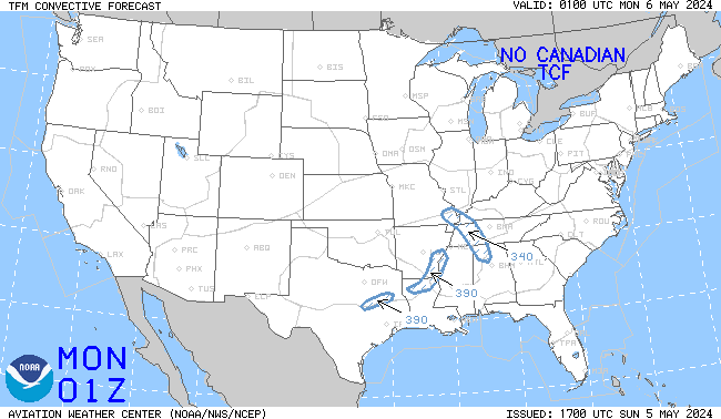
TCF 4-hour Convective Forecast (updated every 2 hours)
TCF 6-hour Convective Forecast (updated every 2 hours)
TCF 8-hour Convective Forecast (updated every 2 hours)
NWS Storm Prediction Center (SPC) - Current Day 1 Outlook (SEVERE)
NWS Storm Prediction Center (SPC) - Current Day 2 Outlook (SEVERE)
Lowest Freezing Level (Analysis)
Lowest Freezing Level (6-Hour Forecast)
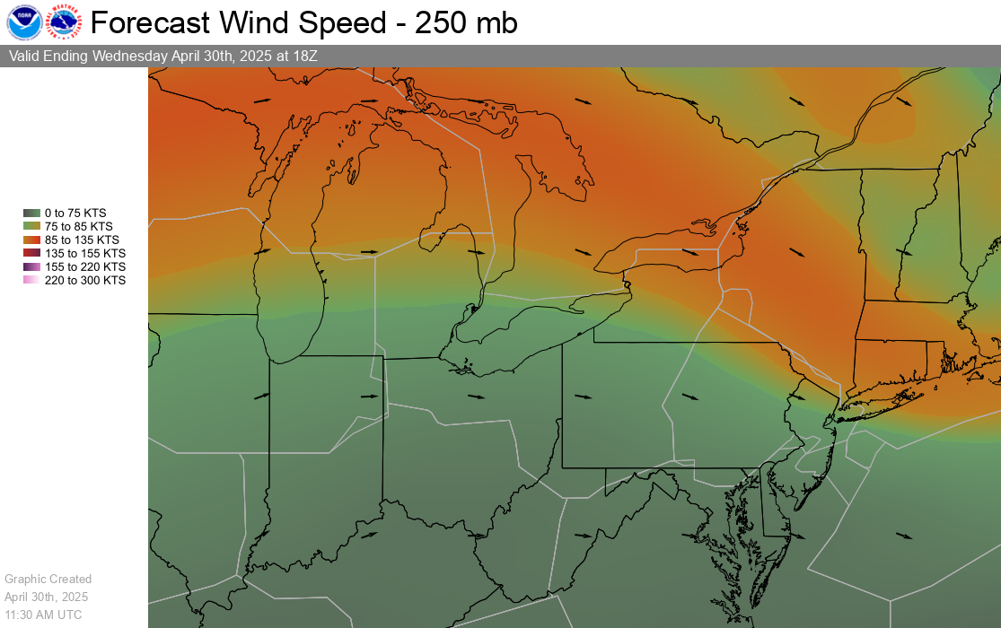
Current FL320 Winds
Current FL320 Winds
Current FL090 Winds
Current FL090 Winds
Current FL030 Winds
Current FL030 Winds