
| Hover over or click station to get METAR and TAF (if available). | Flight Categories: |
KGFK - Grand Forks International Airport
Forecast valid from 0100 GMT 18 Apr 2025 to 0000 GMT 19 Apr 2025
Latest observation at 0053 GMT 18 Apr 2025
For situational awareness. Not to be used for flight planning purposes
| Potential Impact | None | Slight | Moderate | High |
| Time | 0053Z | 18/02Z | 18/03Z | 18/04Z | 18/05Z | 18/06Z | 18/07Z | 18/08Z | 18/09Z | 18/10Z | 18/11Z | 18/12Z | 18/13Z | 18/14Z | 18/15Z | 18/16Z |
|---|---|---|---|---|---|---|---|---|---|---|---|---|---|---|---|---|
| VIS | 10 | >6 | >6 | >6 | >6 | >6 | >6 | >6 | >6 | >6 | >6 | >6 | >6 | >6 | >6 | >6 |
| CIG | 100 | 50 | 50 | 50 | 50 | 30 | 30 | 30 | 30 | 30 | 30 | 30 | 20 | 20 | 20 | 20 |
| Cover | BKN | BKN | BKN | BKN | BKN | BKN | BKN | BKN | BKN | BKN | BKN | BKN | BKN | BKN | BKN | BKN |
| FltCat | VFR | VFR | VFR | VFR | VFR | MVFR | MVFR | MVFR | MVFR | MVFR | MVFR | MVFR | MVFR | MVFR | MVFR | MVFR |
| WX | ||||||||||||||||
| WDir | 340 | 340 | 340 | 340 | 340 | 340 | 340 | 340 | 340 | 340 | 340 | 340 | 340 | 340 | 340 | 340 |
| WSpd | 17 | 14 | 14 | 14 | 14 | 14 | 14 | 14 | 14 | 14 | 14 | 14 | 18 | 18 | 18 | 18 |
| WGust | 26 | 22 | 22 | 22 | 22 | 25 | 25 | 25 | 25 |
FTUS43 KGFK 180103 AAA
KGFK 180102Z 1801/1824 34014G22KT P6SM BKN050
     FM180600 34014KT P6SM BKN030
     FM181300 34018G25KT P6SM BKN020
     FM181900 35015G25KT P6SM BKN030
| Potential Impact | None | Slight | Moderate | High |
| Time | OBS | 18/02Z | 18/03Z | 18/04Z | 18/05Z | 18/06Z | 18/07Z | 18/08Z | 18/09Z | 18/10Z | 18/11Z | 18/12Z | 18/13Z | 18/14Z | 18/15Z | 18/16Z |
|---|---|---|---|---|---|---|---|---|---|---|---|---|---|---|---|---|
| KFAR | ||||||||||||||||
| KTVF | ||||||||||||||||
| KBJI |
FTXN70 KRDR 172000 RRF
KRDR 171954Z 1719/1824 35010G15KT 9999 BKN090 650905 QNH2968INS
     BECMG 1803/1804 35020G30KT 9999 BKN020 620204 520002 QNH2982INS
     BECMG 1808/1809 34010G20KT 9999 OVC010 620102 QNH2985INS
     BECMG 1819/1820 35010G20KT 9999 BKN040 620403 QNH3001INS
     TX10/1722Z TN00/1812Z
NOTE: TEMPO conditions in [brackets]. Keep in mind TEMPO conditions might be better (lower impact) than prevailing conditions.
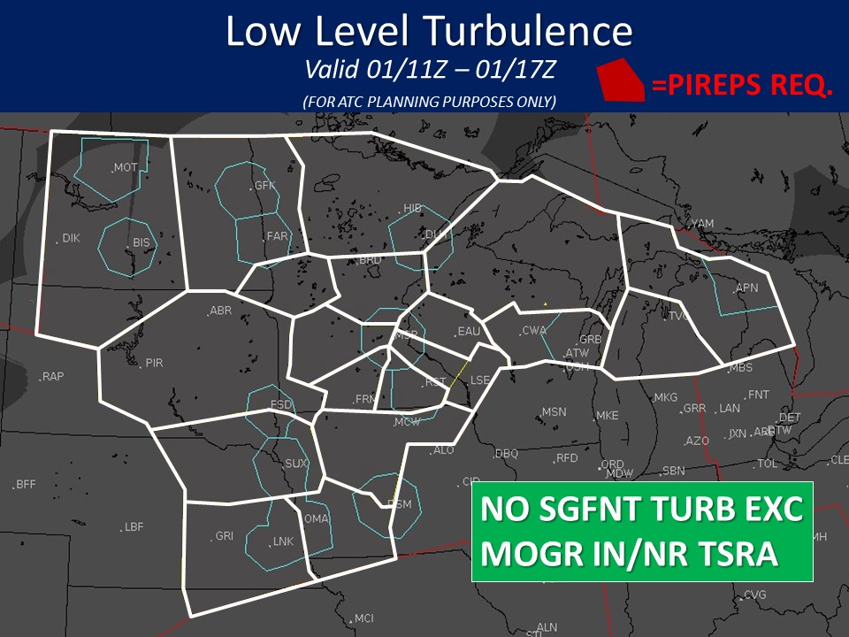
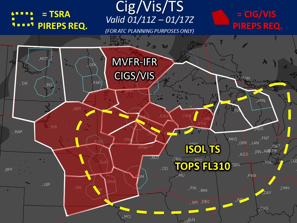
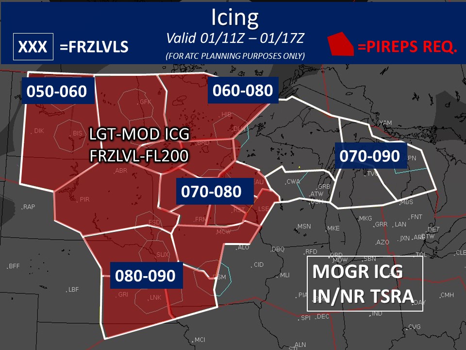
Bar graphs indicate the probability of selected flight category element. The color represents the difference (using 10% thresholds between categories) between the probability and the threshold required to make a categorical forecast. Solid black lines indicate the threshold value at each hour
Bar graphs indicate the probability of selected flight category element. The color represents the difference (using 10% thresholds between categories) between the probability and the threshold required to make a categorical forecast. Solid black lines indicate the threshold value at each hour
|
Tonight 
Mostly Cloudy Low: 33° |
Friday 
Partly Sunny and Breezy High: 47° |
Friday Night 
Partly Cloudy Low: 26° |
Saturday 
Sunny High: 54° |
Saturday Night 
Clear Low: 34° |
Sunday 
Sunny High: 65° |
Sunday Night 
Partly Cloudy Low: 39° |