
A slow moving front combined with tropical moisture will maintain the threat of locally considerable flash/urban flooding across much of Texas and Oklahoma through Friday. Isolated severe storms capable of mainly severe wind gusts appear possible over portions of Kansas, Oklahoma, and Texas this afternoon and evening. Read More >
Memphis
Center Weather Service Unit
| Hover over or click station to get METAR and TAF (if available). | Flight Categories:  VFR VFR  MVFR MVFR  IFR IFR  LIFR LIFR |

US Dept of Commerce
National Oceanic and Atmospheric Administration
National Weather Service
Memphis
3229 Democrat Road
Memphis, TN 38118
Comments? Questions? Please Contact Us.


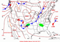 Weather Briefing
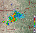 Radar Mosaic
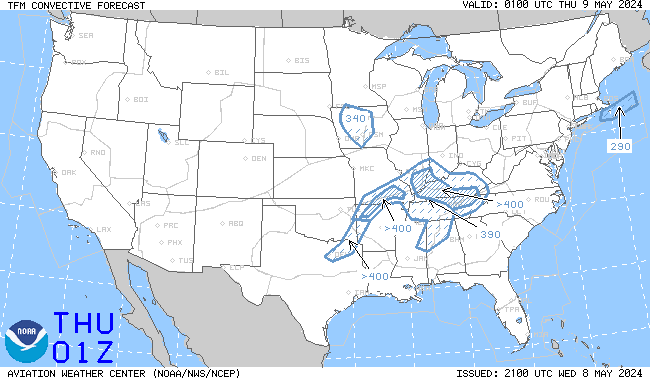 TCF Convective Forecast
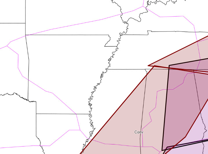 SIGMETS & ADVISORIES
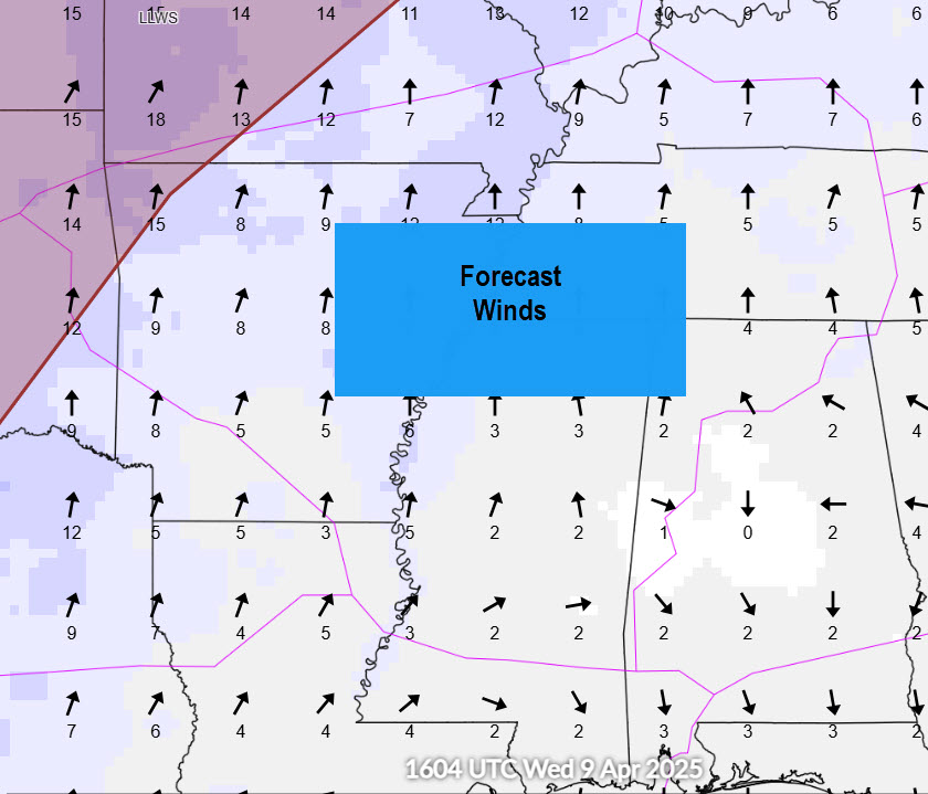 Forecast Winds
 Aviation Safety
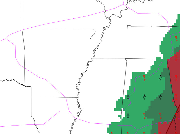 Weather Briefing
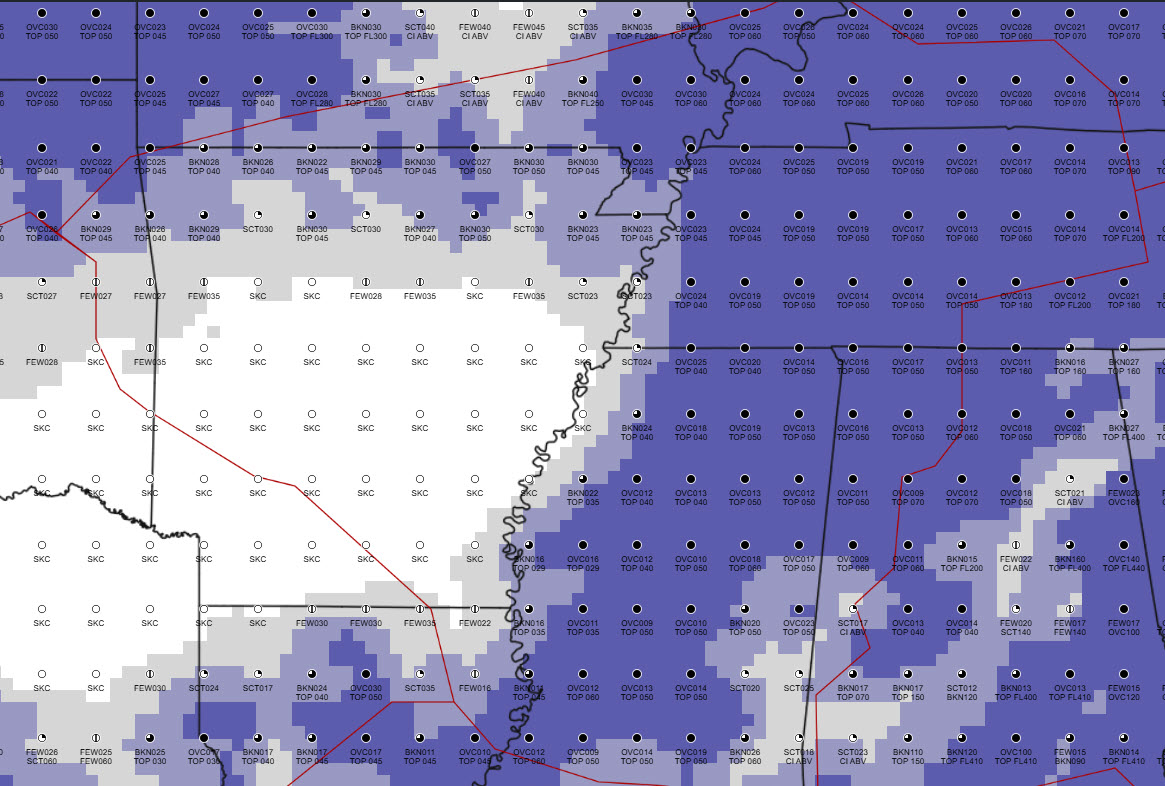 BASES AND TOPS
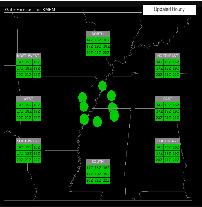 GATE FORECAST
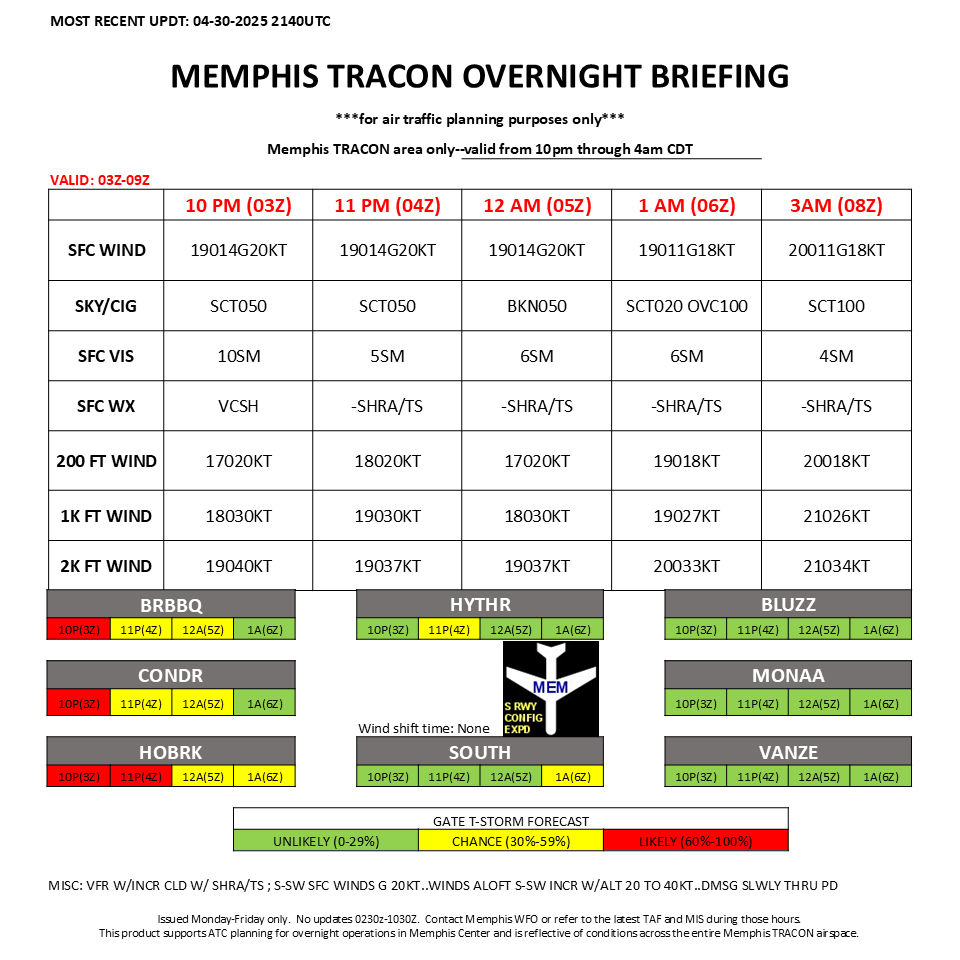 TRACONBriefing
 FZL & AIRMETS
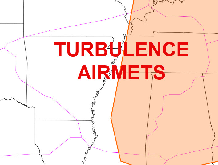 AIRMETS
 Follow us on Facebook
 ZME RSS Feed