
Severe thunderstorms are forecast through this weekend along a slow moving cold front and secondary storm system that will impact areas from the southern Plains to the Great Lakes. Large hail and isolated damaging wind gusts are the main threats with these storms along with a risk for heavy to excessive rainfall which could bring flooding. Read More >
Miami
Center Weather Service Unit
|
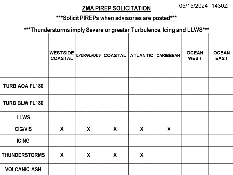
Miami CWSU - Web Brief/Situational Awareness Display For Air Traffic Control Planning Purposes Only. |
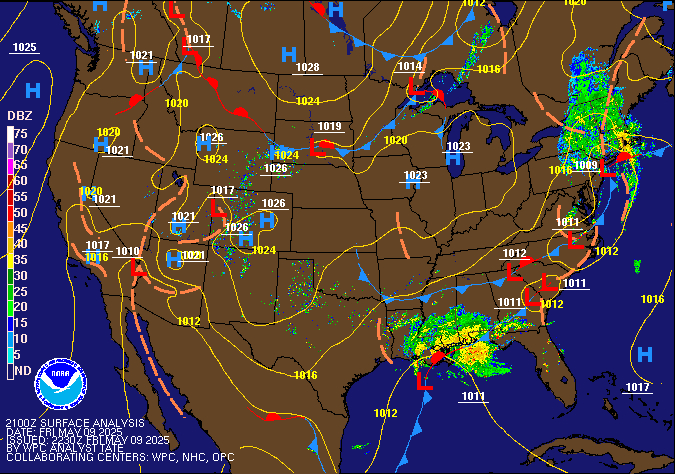
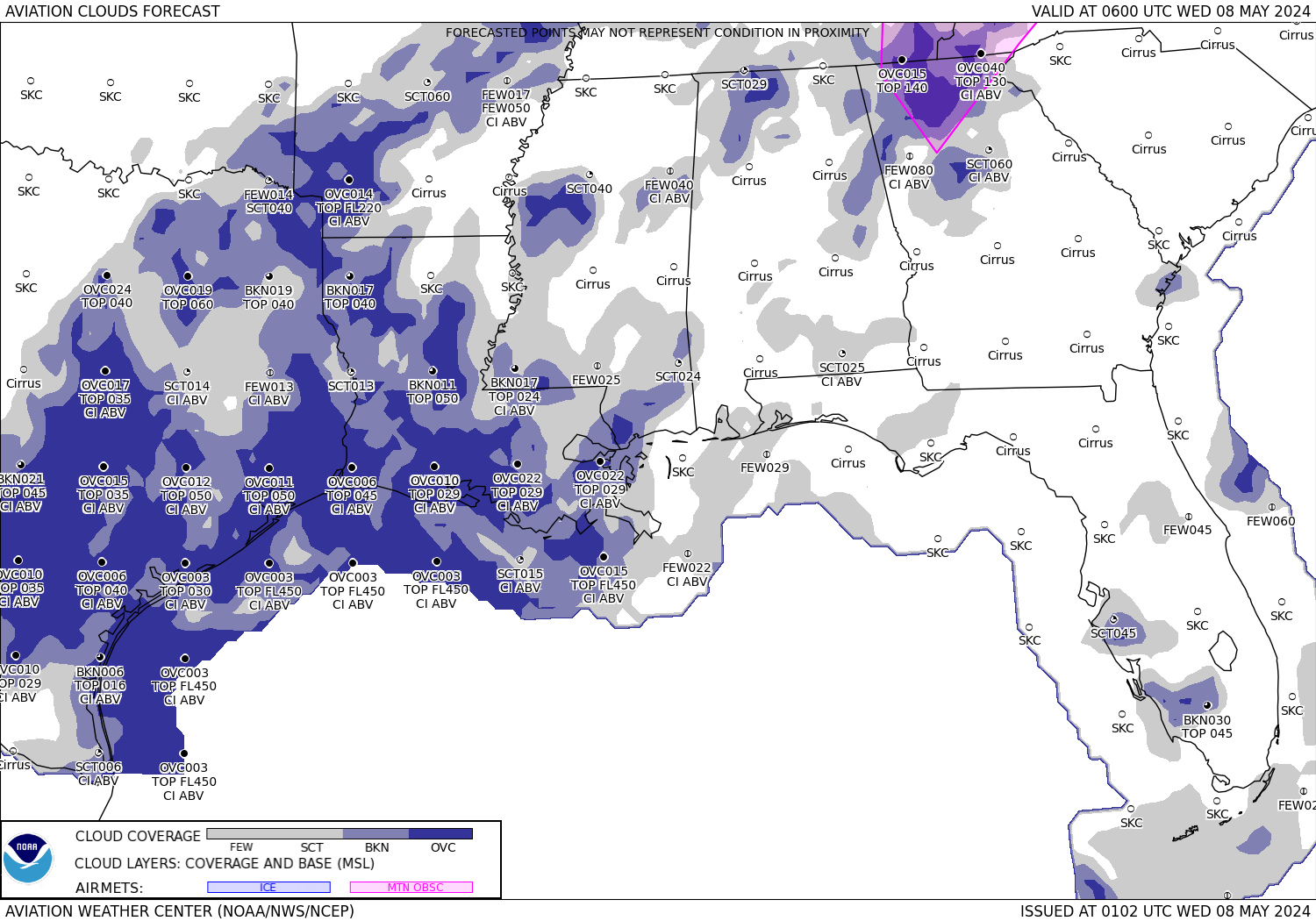
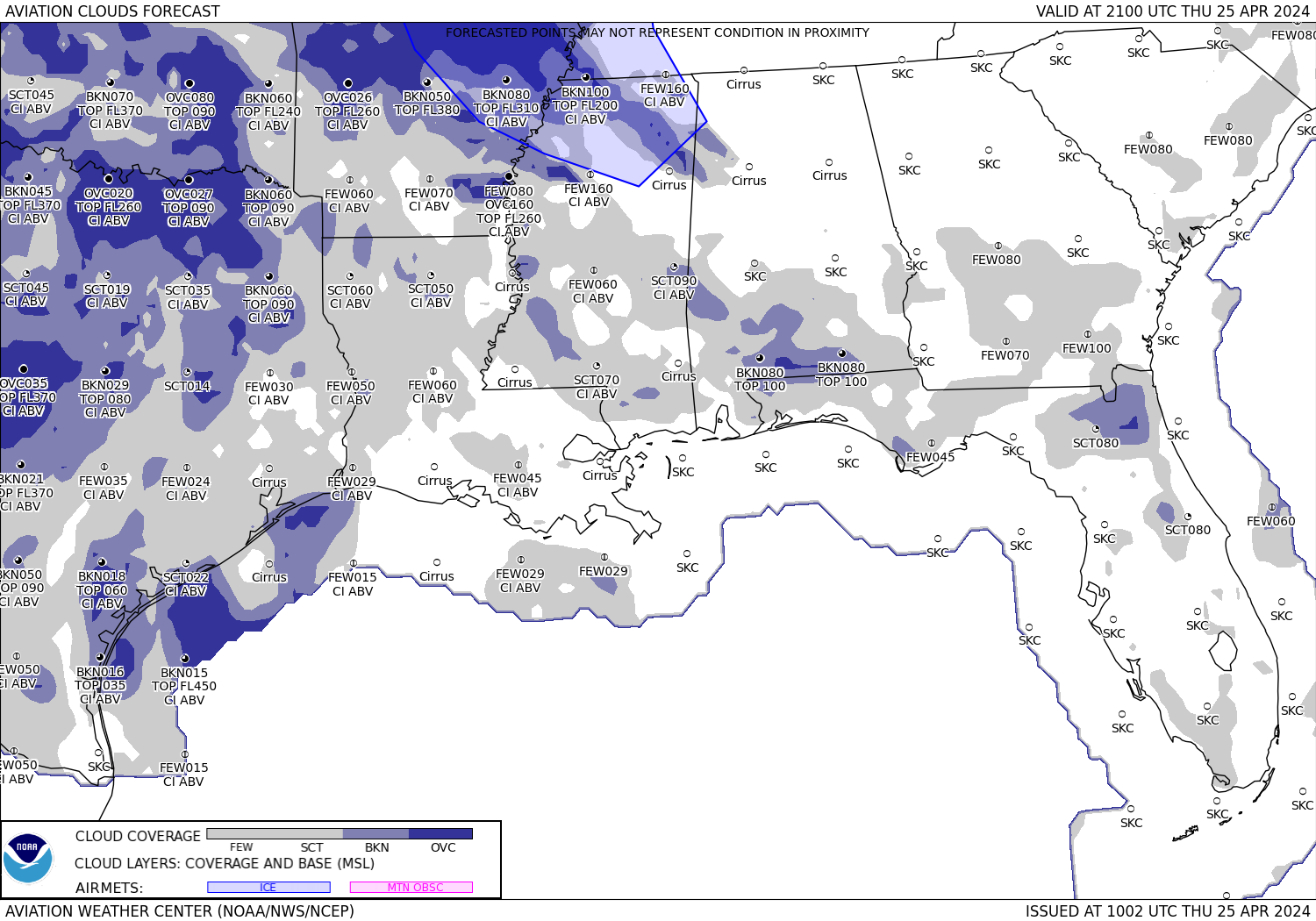

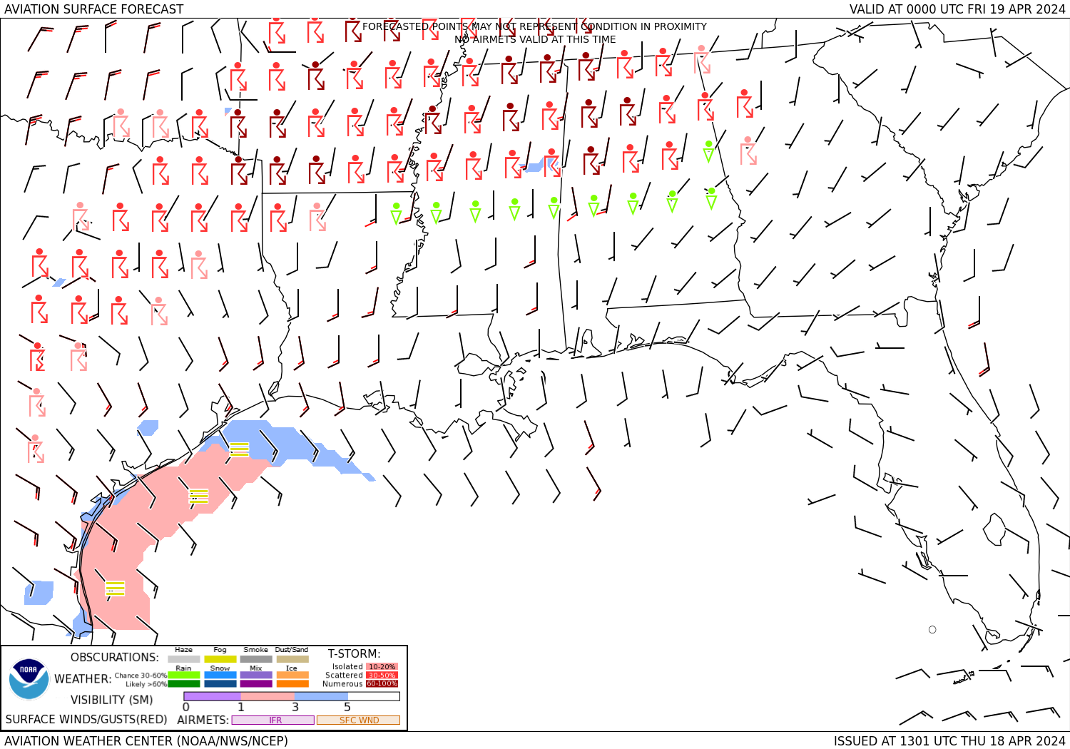




|
|
|
|
|
|
Current FAA OPS Plan |
National Airspace System Status |
US Dept of Commerce
National Oceanic and Atmospheric Administration
National Weather Service
Miami
7500 NW 58th Street
Miami, FL 33166
305-716-1635
Comments? Questions? Please Contact Us.

